Fannin in Goliad County, Texas — The American South (West South Central)
A Site for the People
Historic Markers and Memorials
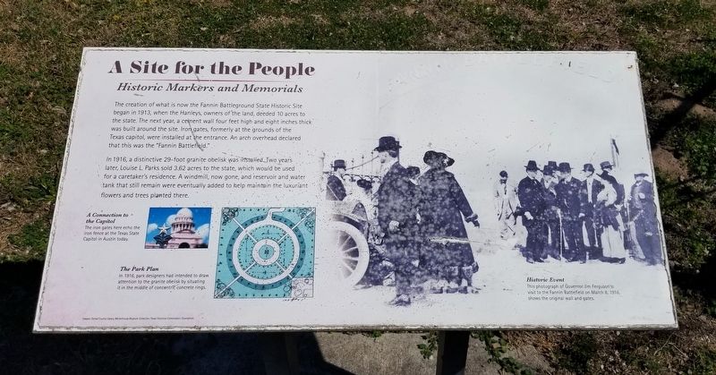
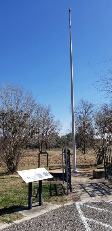
The creation of what is now the Fannin Battleground State Historic Site began in 1913, when the Hanleys, owners of the land, deeded 10 acres to the state. The next year, a cement wall four feet high and eight inches thick was built around the site. Iron gates, formerly at the grounds of the Texas capitol, were installed at the entrance. An arch overhead declared that this was the "Fannin Battlefield."
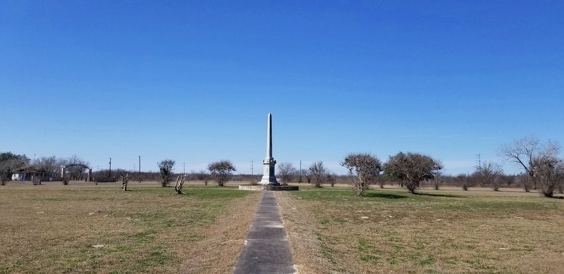
In 1916, a distinctive 29-foot granite obelisk was installed. Two years later, Louise L. Parks sold 3.62 acres to the state, which would be used for a caretaker's residence. A windmill, now gone, and reservoir and water tank that still remain were eventually added to help maintain the luxuriant flowers and trees planted there.
Captions
Middle Left: A Connection to the Capitol
The iron gates here echo the iron fence at the Texas State Capitol in Austin today.
Lower Left: The Park Plan
In 1916, park designers had intended to draw attention to the granite obelisk by situating it in the middle of concentric concrete rings.
Lower Right: Historic Event
This photograph of Governor Jim Ferguson's visit to the Fannin Battlefield on March 8, 1916 shows the original wall and gates.
Images: Goliad County Library, Markethouse Museum Collection; Texas Historical Commission; iStockPhoto
Erected by Fannin Battleground State Historic Site.
Topics. This historical marker is listed in these topic lists: Parks & Recreational Areas • War, Texas Independence. A significant historical year for this entry is 1913.
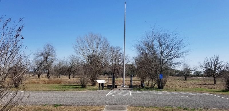
Location. 28° 41.169′ N, 97° 13.935′ W. Marker is in Fannin, Texas, in Goliad County. Marker can be reached from the intersection of State Park Road 27 and Farm to Market Road 2506. The marker is located on the western section of the Fannin Battleground State Historic Site. Touch for map. Marker is at or near this postal address: 734 FM 2506, Fannin TX 77960, United States of America. Touch for directions.
Other nearby markers. At least 8 other markers are within walking distance of this marker. Fannin Battleground Memorial (within shouting distance of this marker); Battle of Coleto and Goliad Massacre (about 300 feet away, measured in a direct line); People Make a Park (about 300 feet away); From Battlefield to Picnic Grounds (about 400 feet away); The Centennial (about 400 feet away); Remember Goliad! (about 400 feet away); Lest We Forget (about 500 feet away); Union Missionary Baptist Church (approx. half a mile away). Touch for a list and map of all markers in Fannin.
More about this marker. The marker is located on the grounds of the Fannin Battleground State Historic Site and there is no entrance fee to access the park. It is free.
Also see . . . Fannin Battleground State Historic Site.
The Fannin Battleground State Historic Site commemorates the Battle of Coleto Creek, a battle of the Texas Revolution, fought on March 19 and 20, 1836 between Texian forces commanded by Col. James W. Fannin and the Mexican Army commanded by Mexican General Jose de Urrea. Eventually surrounded and outnumbered, Fannin surrendered to the Mexican Army. He and his troops were executed several days later at nearby Presidio La Bahia. Source: Wikipedia(Submitted on February 20, 2022, by James Hulse of Medina, Texas.)
Credits. This page was last revised on October 19, 2023. It was originally submitted on February 20, 2022, by James Hulse of Medina, Texas. This page has been viewed 147 times since then and 16 times this year. Last updated on October 18, 2023, by Carl Gordon Moore Jr. of North East, Maryland. Photos: 1, 2, 3, 4. submitted on February 20, 2022, by James Hulse of Medina, Texas. • J. Makali Bruton was the editor who published this page.


