Columbus in Muscogee County, Georgia — The American South (South Atlantic)
Temple Israel
Photographed by David Seibert, December 28, 2006
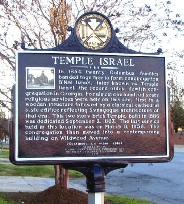
1. Temple Israel Marker, Side 1
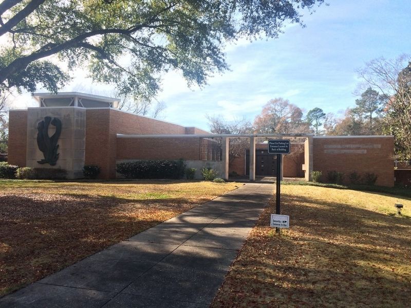
In 1854 twenty Columbus families banded together to form congregation B’Nai Israel, later known as Temple Israel, one of the first Jewish congregations in Georgia. For almost one hundred years religious services were held on this site, first in a wooden structure followed by a classical cathedral style edifice reflecting Synagogue architecture of that era. This two story brick Temple, built in 1886 was dedicated September 2, 1887. The last service held in this location was on March 8, 1958. The congregation then moved into a contemporary building on Wildwood Avenue.
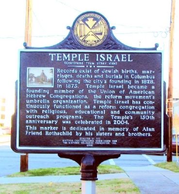
Records exist of Jewish births, marriages, deaths and burials in Columbus following the city’s founding in 1828. In 1875, Temple Israel became a founding member of the Union of American Hebrew Congregations, the reform movement’s umbrella organization. Temple Israel has continuously functioned as a reform congregation with religious, educational and community outreach programs. The Temple’s 150th anniversary was celebrated in 2004.
This marker is dedicated in memory of Alan Friend Rothschild by his sisters and brothers.
Erected 2005 by Historic
this page online
Topics and series. This historical marker is listed in these topic lists: Architecture • Religion & Religious Structures. In addition, it is included in the Synagogues series list. A significant historical month for this entry is March 1873.
Location. 32° 27.884′ N, 84° 59.282′ W. Marker is in Columbus, Georgia, in Muscogee County. It is at the intersection of 10th Street and Veterans Parkway (U.S. 27), on the left when traveling west on 10th Street. Touch for map. Marker is in this post office area: Columbus GA 31901, United States of America. Touch for directions.

Regionally, this marker is in Georgia’s Piedmont. It is also in the American South and specifically in the Deep South. Globally, it is in North America, the Western Hemisphere, the Western World, and the Anglosphere. Historically, it finds itself in what was once the territory of the Mississippian Culture, one of the original Thirteen Colonies, one of the Confederate States of America, and the Antebellum South.
Other nearby markers. At least 8 other markers are within walking distance of
Photographed by David Seibert, December 28, 2006
2. Temple Israel Marker, Side 2
Additional keywords. Synagogues
Photographed by J. Makali Bruton, December 25, 2017
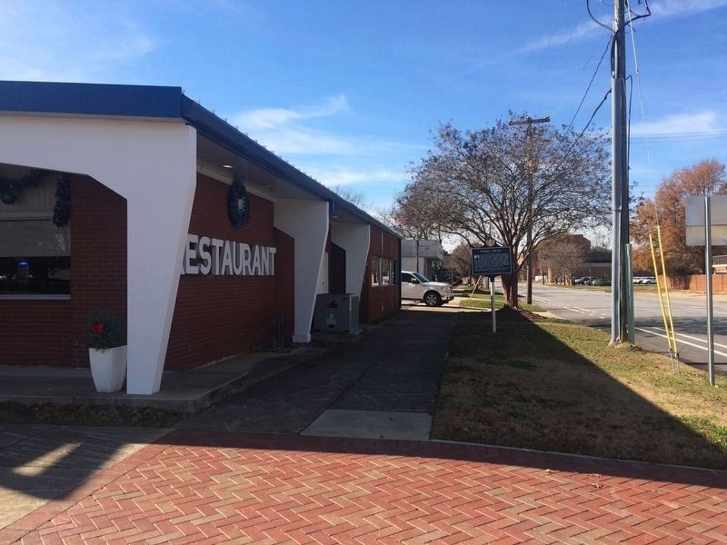
3. Temple Israel Marker
Ruth Ann's Restaurant is to the left of the marker.
Photographed by J. Makali Bruton, December 25, 2017
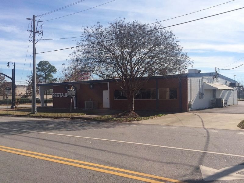
4. Temple Israel Marker

Photographed by J. Makali Bruton, December 25, 2017
5. Temple Israel photograph from the marker
Photographed by J. Makali Bruton, December 25, 2017
6. Temple Israel at its current location at 1617 Wildwood Avenue
Credits. This page was last revised on February 1, 2020. It was originally submitted on October 20, 2009, by David Seibert of Sandy Springs, Georgia. This page has been viewed 1,281 times since then and 44 times this year. Photos: 1, 2. submitted on October 20, 2009, by David Seibert of Sandy Springs, Georgia. 3, 4. submitted on December 25, 2017, by J. Makali Bruton of Washington, District of Columbia. 5, 6. submitted on January 4, 2018, by J. Makali Bruton of Washington, District of Columbia. • Craig Swain was the editor who published this page.
