Belle Fourche in Butte County, South Dakota — The American Midwest (Upper Plains)
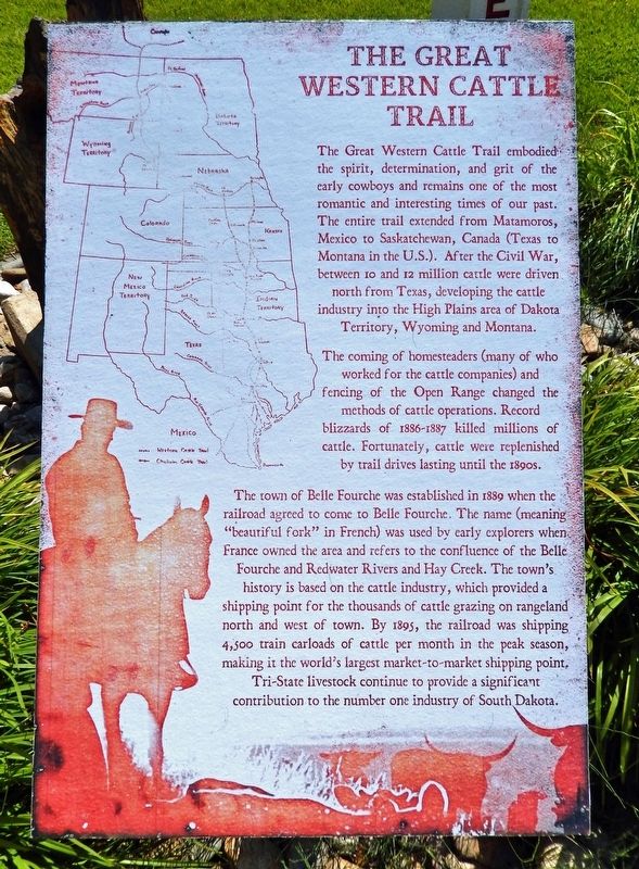
The Great Western Cattle Trail
The Great Western Cattle Trail embodied the spirit, determination, and grit of the early cowboys and remains one of the most romantic and interesting times of our past. The entire trail extended from Matamoros, Mexico to Saskatchewan, Canada (Texas to Montana in the U.S.). After the Civil War, between 10 and 12 million cattle were driven north from Texas, developing the cattle industry into the High Plains area of Dakota Territory, Wyoming and Montana.
The coming of homesteaders (many of whom worked for the cattle companies) and fencing of the Open Range changed the methods of cattle operations. Record blizzards of 1886-1887 killed millions of cattle. Fortunately, cattle were replenished by trail drives lasting until the 1890s.
The town of Belle Fourche was established in 1889 when the railroad agreed to come to Belle Fourche. The name (meaning "beautiful fork" in French) was used by early explorers when France owned the area and refers to the confluence of the Belle Fourche and Redwater Rivers and Hay Creek. The town's history is based on the cattle industry, which provided a shipping point for the thousands of cattle grazing on rangeland north and west of town. By 1895, the railroad was shipping 4,500 train carloads of cattle per month in the peak season, making it the world's largest market-to-market shipping point. Tri-State livestock continue to provide a significant contribution to the number one industry of South Dakota.
Topics. This historical marker is listed in these topic lists: Animals • Industry & Commerce • Roads & Vehicles • Settlements & Settlers. A significant historical year for this entry is 1889.
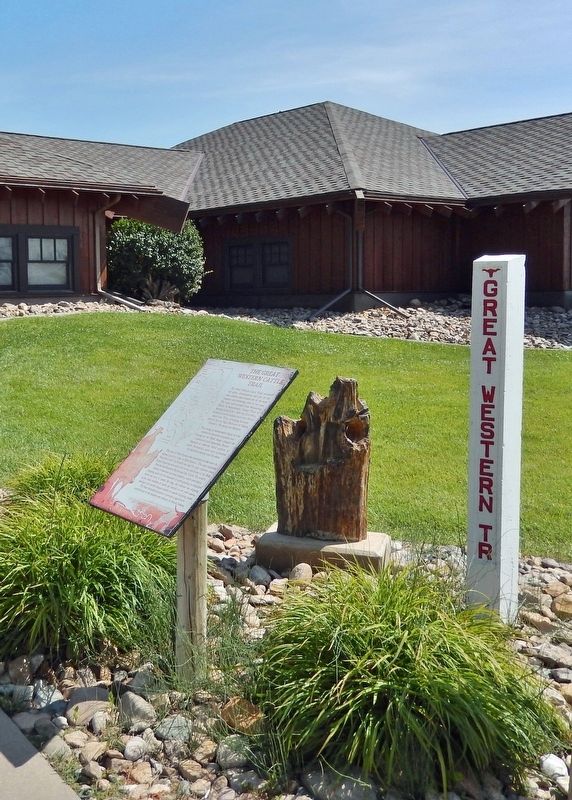
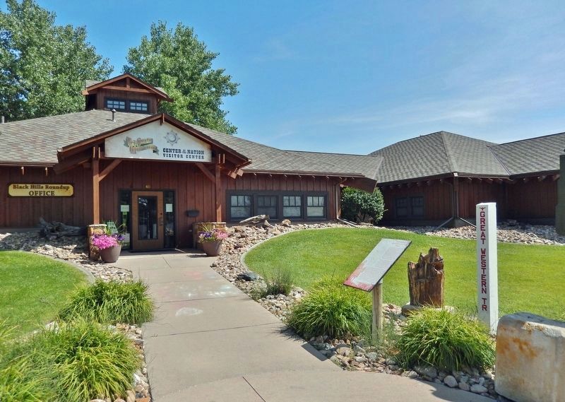
Location. 44° 40.44′ N, 103° 51.182′ W. Marker is in Belle Fourche, South Dakota, in Butte County. Marker can be reached from 5th Avenue (U.S. 85/212) just north of Faulk Street, on the right when traveling north. The marker is located along the walkway directly in front of the Center of the Nation Visitor Center and Tri-State Museum. Touch for map. Marker is at or near this postal address: 415 5th Avenue, Belle Fourche SD 57717, United States of America. Touch for directions.
Other nearby markers. At least 8 other markers are within walking distance of this marker. Welcome to Belle Fourche (here, next to this marker); Vietnam War Memorial (a few steps from this marker); Butte County War Memorial (a few steps from this marker); Korean War Memorial (within shouting distance of this marker); "Buckskin Johnny" Spaulding Cabin (within shouting distance of this marker); Belle Fourche (approx. 0.3 miles away); Butte County Jail (approx. 0.4 miles away); Tri-State Area Veterans Memorial (approx. 0.4 miles away). Touch for a list and map of all markers in Belle Fourche.
Also see . . .
1. Great Western Cattle Trail (Wikipedia). Excerpt:
The Great Western Cattle Trail was used during the late 19th century for movement of cattle and horses to markets in eastern and northern states. It is also known as the Western Trail, Fort Griffin Trail, Dodge City Trail, Northern Trail and Texas Trail. The Great Western Cattle Trail was first traveled by Captain John T. Lytle in 1874 when he was transporting 3,500 longhorn cattle up from Southern Texas into Nebraska. In five short years, it became one of the most traveled and famous cattle trails in U.S. history.(Submitted on October 22, 2023, by Cosmos Mariner of Cape Canaveral, Florida.)
2. The Great Western Cattle Trail (Legends of America). Excerpt:
Despite its popularity, traffic along the trail began to decline in 1885 due to the spreading use of barbed wire fences, the introduction of beefier cattle breeds, and the settlement of the frontier. But the most significant contributor to the trail’s demise was quarantines of Texas cattle due to the “Texas Fever” – a disease spread by a parasitic tick. Carried northward by longhorns, the disease decimated northern herds, causing many northern states and territories to ban Texas cattle. The last reported drive on the Great Western Trail was made in 1893 by John Rufus Blocker, who drove his herd from West Texas to Deadwood, South Dakota.(Submitted on October 22, 2023, by Cosmos Mariner of Cape Canaveral, Florida.)
Credits. This page was last revised on October 22, 2023. It was originally submitted on October 21, 2023, by Cosmos Mariner of Cape Canaveral, Florida. This page has been viewed 84 times since then and 35 times this year. Photos: 1, 2, 3. submitted on October 22, 2023, by Cosmos Mariner of Cape Canaveral, Florida.


