Near Flagler Beach in Flagler County, Florida — The American South (South Atlantic)
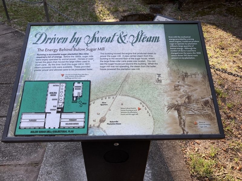
Driven by Sweat & Steam
The Energy Behind Bulow Sugar Mill
— Bulow Plantation Ruins Historic State Park —
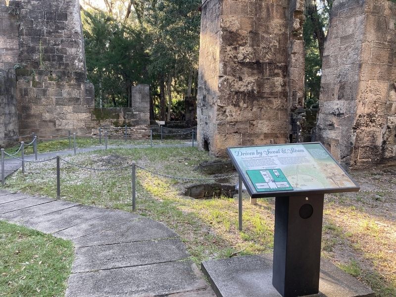
This building housed the engine that produced steam to power the sugar mill. A pipe carried steam from this building to the second floor of the sugar house, where the large three-roller cane press was located. You can see the sugar house just beyond this building. When the sugar mill was not operating, the steam from the boiler house powered the plantation saw mill.
Even with the mechanical energy provided by a strong steam engine, I could not produce sugar or operate my plantation without a large quantity of human energy. Although the number of slaves I used here changed over the years, the 1830 census shows 193 slaves were present on my plantation.
(captions)
Bulow's slaves lived in houses forming an arch between the plantation house and the sugar mill.
Slaves at work harvesting sugar cane.
Erected by Florida State Parks.
Topics. This historical marker is listed in these topic lists: African Americans • Agriculture • Industry & Commerce. A significant historical year for this entry is 1830.
Location. 29° 26.139′ N, 81° 8.588′ W. Marker is near Flagler Beach, Florida, in Flagler County. Marker can be reached from Old Kings Road South, 0.2 miles north of Plantation Oaks Boulevard, on the right when traveling north. Located in Bulow Plantation Ruins State Park. Touch for map. Marker is in this post office area: Flagler Beach FL 32136, United States of America. Touch for directions.
Other nearby markers. At least 8 other markers are within walking distance of this marker. Beyond the Plantation (a few steps from this marker); Riding the "Jamaica Train" (a few steps from this marker); Just just a spoonful of sugar (within shouting distance of this marker); Bulow Sugar Mill (about 400 feet away, measured in a direct line); The Bulow Plantation House (approx. 0.3 miles away); Indigo Production (approx. 0.3 miles away); Slave Cabin Area (approx. 0.3 miles away); Bulow Ville Plantation House (approx. 0.4 miles away). Touch for a list and map of all markers in Flagler Beach.
Also see . . . Bulow Plantation Ruins Historic State Park. (Submitted on November 27, 2023.)
Credits. This page was last revised on November 27, 2023. It was originally submitted on October 22, 2023, by Connor Olson of Kewaskum, Wisconsin. This page has been viewed 103 times since then and 30 times this year. Photos: 1, 2. submitted on October 22, 2023, by Connor Olson of Kewaskum, Wisconsin. • Bernard Fisher was the editor who published this page.

