
Marker Logo
THE HISTORICAL
MARKER DATABASE
“Bite-Size Bits of Local, National, and Global History”
Barney in Brooks County, Georgia — The American South (South Atlantic)
 

Barney Colored Elementary School
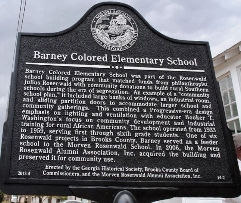
 
 
Barney Colored Elementary School Marker image. Click for full size.
Photographed by Brandon D Cross, October 5, 2023
1. Barney Colored Elementary School Marker
Inscription. Barney Colored Elementary School was part of the Rosenwald school building program that matched funds from philanthropist Julius Rosenwaid with community donations to build rural Southern schools during the era of segregation. An example of a "community school plan," it included large banks of windows, an industrial room, and sliding partition doors to accommodate larger school and community gatherings. This combined a Progressive-era design emphasis on lighting and ventilation with educator Booker T. Washington's focus on community development and industrial training for rural African Americans. The school operated from 1933 to 1959, serving first through sixth grade students. One of six Rosenwald projects in Brooks County, Barney served as a feeder school to the Morven Rosenwald School. In 2006, the Morven Rosenwald Alumni Association, Inc. acquired the building and preserved it for community use.
 
Erected 2013 by The Georgia Historical Society, Brooks County Board of Commissioners, and the Morven Rosenwald Alumni Association, Inc. (Marker Number 14-2.)
 
Topics and series. This historical marker is listed in
Paid Advertisement
Click or scan to see
this page online
these topic lists: African AmericansEducationNotable Buildings. In addition, it is included in the Rosenwald Schools series list. A significant historical year for this entry is 1933.
 
Location. 31° 0.251′ N, 83° 30.894′ W. Marker is in Barney, Georgia, in Brooks County. It is on 1st Avenue 0.1 miles south of Strickland Road, on the right when traveling south. Touch for map. Marker is at or near this postal address: 426 1st Avenue, Barney GA 31625, United States of America. Touch for directions.

Regionally, this marker is in Georgia’s Coastal Plain. It is also in the American South, specifically in the Deep South, and in the Wiregrass. Globally, it is in North America, the Western Hemisphere, the Western World, and the Anglosphere. Historically, it finds itself in what was once the territory of the Mississippian Culture, one of the original Thirteen Colonies, one of the Confederate States of America, and the Antebellum South.

Other nearby markers. At least 8 other markers are within 9 miles of this marker, measured as the crow flies: Old Coffee Road (approx. 2.9 miles away); Mount Zion Camp Ground (approx.
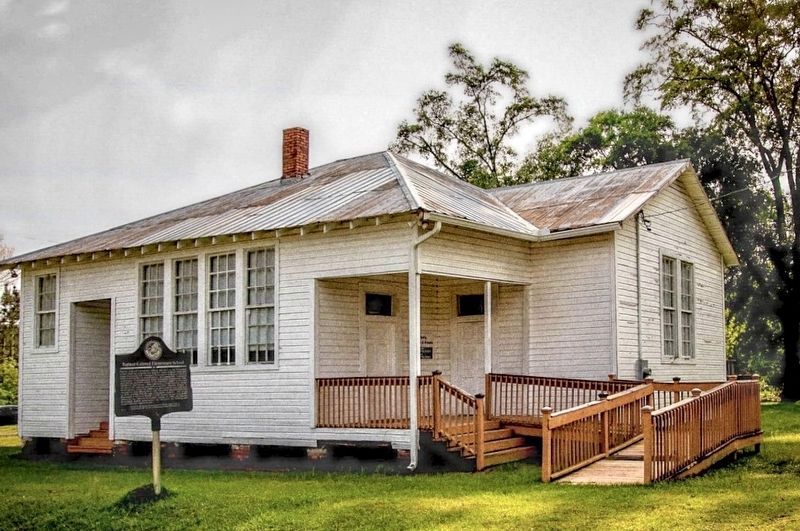
Barney Colored Elementary School Marker image. Click for full size.
Photographed by Brandon D Cross, October 5, 2023
2. Barney Colored Elementary School Marker
3.2 miles away); The Old Morven School (approx. 4.3 miles away); a different marker also named Old Coffee Road (approx. 7.1 miles away); Bethel Primitive Baptist Church (approx. 7.2 miles away); a different marker also named Old Coffee Road (approx. 7.8 miles away); Mary Turner and the Lynching Rampage of 1918 (approx. 8 miles away); Hahira Veterans Memorial (approx. 8.4 miles away).
 
More about this marker. This marker is included in the Georgia Civil Rights Trail (CRT).
 
 
Credits. This page was last revised on October 27, 2024. It was originally submitted on October 22, 2023, by Brandon D Cross of Flagler Beach, Florida. This page has been viewed 578 times since then and 55 times this year. Photos:   1, 2. submitted on October 22, 2023, by Brandon D Cross of Flagler Beach, Florida. • Bernard Fisher was the editor who published this page.

m=234828

CeraNet Cloud Computing sponsors the Historical Marker Database.
This website earns income from purchases you make after using our links to Amazon.com. We appreciate your support.
Paid Advertisement
Jul. 27, 2026