Near Davis in Tucker County, West Virginia — The American South (Appalachia)
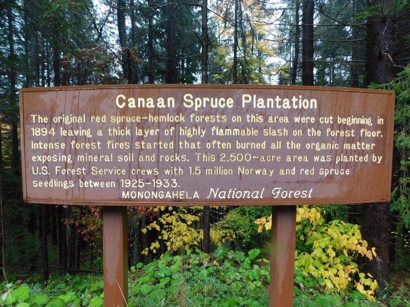
Canaan Spruce Plantation
Monongahela National Forest
The original red spruce-hemlock forests on this area were cut beginning in 1894 leaving a thick layer of highly flammable slash on the forest floor. Intense forest fires started that often burned all the organic matter exposing mineral soil and rocks. This 2,500-acre area was planted by U.S. Forest Service crews with 1.5 million Norway and red spruce seedlings between 1925-1933.
Topics. This historical marker is listed in these topic lists: Environment • Horticulture & Forestry. A significant historical year for this entry is 1894.
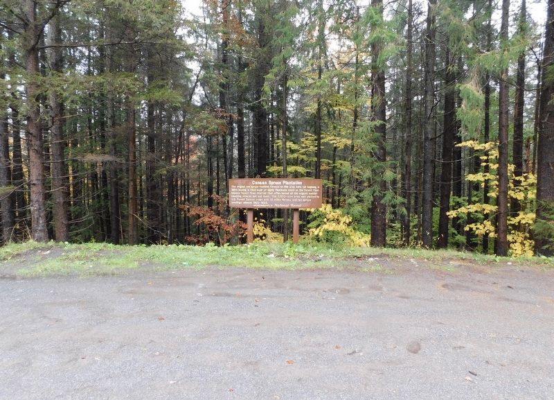
Location. 39° 6.084′ N, 79° 26.585′ W. Marker is near Davis, West Virginia, in Tucker County. Marker is at the intersection of Appalachian Highway (West Virginia Route 32) and Canaan Heights Road (West Virginia Route 32/14), on the right when traveling east on Appalachian Highway. Touch for map. Marker is in this post office area: Davis WV 26260, United States of America. Touch for directions.
Other nearby markers. At least 8 other markers are within 3 miles of this marker, measured as the crow flies. Myrtle Mae (Hockman) Shrader (approx. 2.2 miles away); Inside The Sawmill (approx. 2.2 miles away); From Forest To Sawmill (approx. 2.2 miles away); A Growing And Evolving Industry On The Riverbanks (approx. 2.2 miles away); A Prosperous Sawmill Town (approx. 2.2 miles away); Shipping By Rail (approx. 2.2 miles away); Verzi's Saloon (approx. 2.2 miles away); Railroad Depot (approx. 2.2 miles away). Touch for a list and map of all markers in Davis.
Credits. This page was last revised on October 29, 2023. It was originally submitted on October 23, 2023, by Bradley Owen of Morgantown, West Virginia. This page has been viewed 59 times since then and 16 times this year. Photos: 1, 2. submitted on October 23, 2023, by Bradley Owen of Morgantown, West Virginia.

