York in Haldimand County, Ontario — Central Canada (North America)
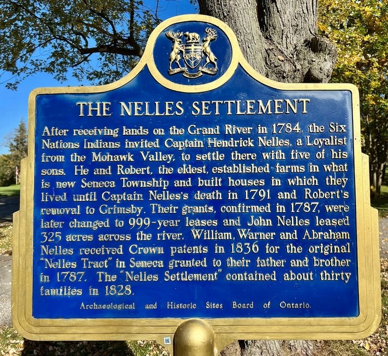
The Nelles Settlement
Photographed by Tim Boyd, October 23, 2023
1. The Nelles Settlement Marker
After receiving lands on the Grand River in 1784, the Six Nations Indians invited Captain Hendrick Nelles, a Loyalist from the Mohawk Valley, to settle there with five of his sons. He and Robert, the eldest, established farms in what is new Seneca Township and built houses in which they lived until Captain Nelles's death in 1791 and Robert's removal to Grimsby. Their grants, confirmed in 1787, were later changed to 999-year leases and John Nelles leased 325 acres across the river. William, Warner and Abraham Nelles received Crown patents in 1836 for the original "Nelles Tract" in Seneca granted to their father and brother in 1787. The "Nelles Settlement" contained about thirty families in 1828.
Archaeological and Historic Sites Board of Ontario.
Erected by Archaeological and Historic Sites Board of Ontario.
Topics and series. This historical marker is listed in these topic lists: Indigenous Peoples and Communities • Settlements & Settlers. In addition, it is included in the Canada, Ontario Heritage Trust series list. A significant historical year for this entry is 1784.
Location. 43° 1.435′ N, 79° 53.41′ W.
this page online

Regionally, this marker is in the Southwest Ontario Area and in Southwestern Ontario. It is also in Central Canada. Globally, it is in North America, on the Great Lakes, in the Western Hemisphere, in the Western World, and in the Anglosphere. Historically, it finds itself in what was once a British colony, the Viceroyalty of New France, the Haudenosaunee (Iroquois) Confederacy, and Rupert’s Land.
Other nearby markers. At least 8 other markers are within 8 kilometers of this marker, measured as the crow flies: Barber Hotel of York (1862) (approx. 0.3 kilometers away); The Davis, Martindale Flour and Grist Mill of York (approx. 0.4 kilometers away); The Youngs (approx. 4 kilometers away); Ruthven Park (approx. 5.1 kilometers away); Ruthven Mansion (approx. 5.1 kilometers away);
Photographed by Tim Boyd, October 23, 2023
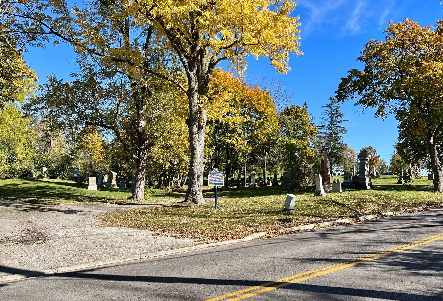
2. The Nelles Settlement Marker
Also see . . . Robert Nelles. Dictionary of Canadian Biography website entry (Submitted on October 2, 2024, by Larry Gertner of New York, New York.)
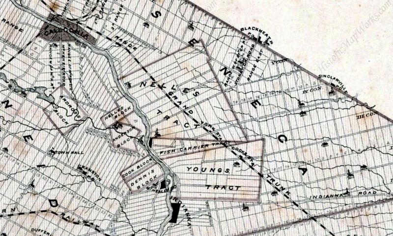
3. Nelles’s Tract on the Grand River, 1879
from the Historical Atlas of the County of Haldimand Ont.
Credits. This page was last revised on October 2, 2024. It was originally submitted on October 23, 2023, by Tim Boyd of Hamilton, Ontario. This page has been viewed 984 times since then and 111 times this year. Photos: 1, 2, 3. submitted on October 23, 2023, by Tim Boyd of Hamilton, Ontario. • Andrew Ruppenstein was the editor who published this page.
