York in Haldimand County, Ontario — Central Canada (North America)
The Davis, Martindale Flour and Grist Mill of York

Photographed by Tim Boyd, October 23, 2023
1. The Davis, Martindale Flour and Grist Mill of York Marker
This was the site of a flour and grist mill that served the village of York and district for almost a century. The original mill built in the 1820's or 1830's had a water-wheel operated by water from the Grand River Navigation Co. dam at York. The mill processed wheat into flour for bread and feed for livestock. When Adam A. Davis assumed ownership, he built a new mill in 1870, replacing the water-wheel with a water-turbine. After his death in 1905, brothers Arthur and Chester Martindale acquired the mill and ran it for about ten years. When the dam decayed and water-power failed, an internal combustion engine was placed on this concrete base. Finally activity ceased and the building was removed in 1921.
Erected by the York, Grand River Historical Society with the assistance of the Ontario Heritage Foundation
2000
Erected 2000 by York, Grand River Historical Society, Ontario Heritage Foundation.
Topics. This historical marker is listed in these topic lists: Industry & Commerce • Settlements & Settlers. A significant historical year for this entry is 1870.
Location. 43° 1.238′ N, 79° 53.446′ W. Marker is
this page online

Regionally, this marker is in the Southwest Ontario Area and in Southwestern Ontario. It is also in Central Canada. Globally, it is in North America, on the Great Lakes, in the Western Hemisphere, in the Western World, and in the Anglosphere. Historically, it finds itself in what was once a British colony, the Viceroyalty of New France, the Haudenosaunee (Iroquois) Confederacy, and Rupert’s Land.
Other nearby markers. At least 8 other markers are within 8 kilometers of this marker, measured as the crow flies: Barber Hotel of York (1862) (within shouting distance of this marker); The Nelles Settlement (approx. 0.4 kilometers away); The Youngs (approx. 3.7 kilometers away); Ruthven Park (approx. 4.8 kilometers away); Ruthven Mansion (approx. 4.8 kilometers away); Caledonia Town Hall (approx.

Photographed by Tim Boyd, October 23, 2023
2. The Davis, Martindale Flour and Grist Mill of York Marker
Photographed by Tim Boyd, October 23, 2023
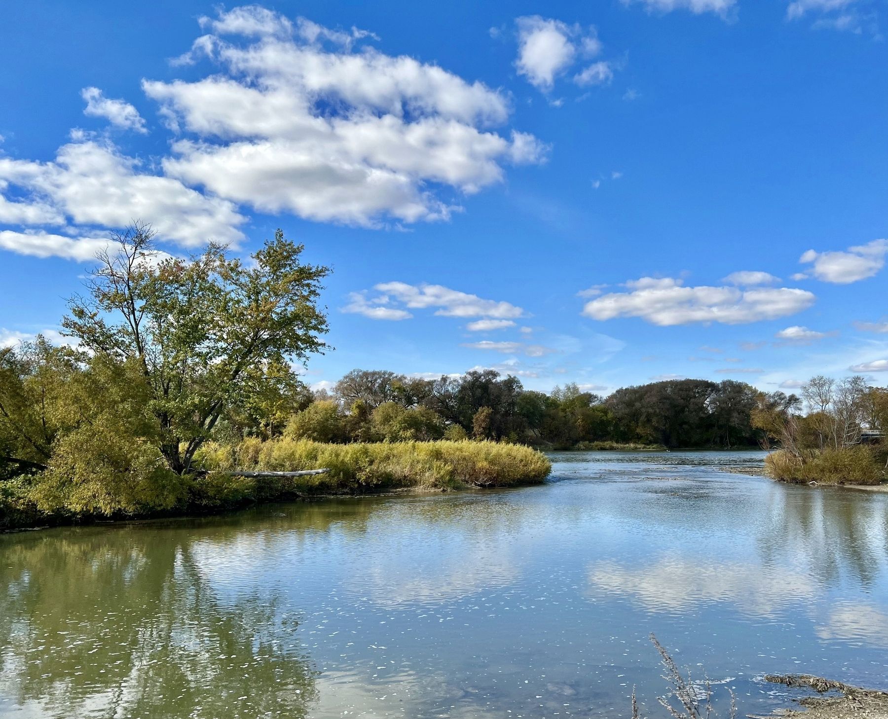
3. The Grand River at York
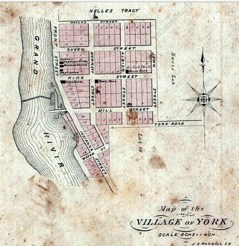
1879
4. Map of the Village of York, 1879
Credits. This page was last revised on October 24, 2023. It was originally submitted on October 23, 2023, by Tim Boyd of Hamilton, Ontario. This page has been viewed 291 times since then and 24 times this year. Photos: 1, 2, 3, 4. submitted on October 23, 2023, by Tim Boyd of Hamilton, Ontario. • Andrew Ruppenstein was the editor who published this page.
