Pocahontas in McNairy County, Tennessee — The American South (East South Central)
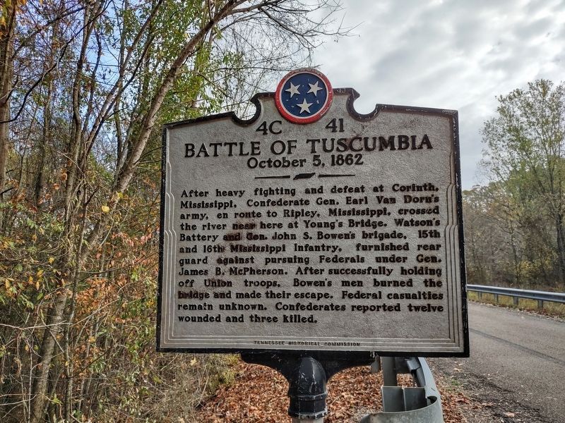
Battle of Tuscumbia
October 5, 1862
Erected by Tennessee Historical Commission. (Marker Number 4C 41.)
Topics. This historical marker is listed in this topic list: War, US Civil. A significant historical date for this entry is October 5, 1862.
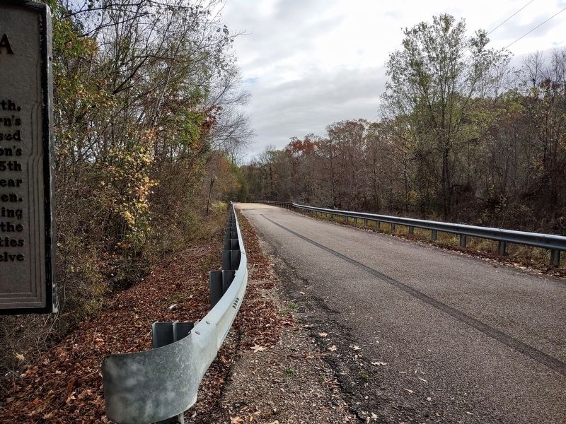
Location. 35° 1.055′ N, 88° 44.012′ W. Marker is in Pocahontas, Tennessee, in McNairy County. Marker is on Wolf Pen Road, 1.8 miles west of Cypress Road, on the right when traveling west. Touch for map. Marker is at or near this postal address: 5461 Wolf Pen Rd, Pocahontas TN 38061, United States of America. Touch for directions.
Other nearby markers. At least 8 other markers are within 12 miles of this marker, measured as the crow flies. Hell on the Hatchie (approx. 3.6 miles away); Battle of Davis Bridge (approx. 3.7 miles away); Engagement at Davis Bridge (approx. 3.8 miles away); a different marker also named Battle of Davis Bridge (approx. 4.8 miles away); Battle Of Chewalla (approx. 4.8 miles away); Veteran's Plaza (approx. 7.8 miles away); Kossuth (approx. 11.3 miles away in Mississippi); Battle of Corinth Battery F (approx. 11.3 miles away in Mississippi). Touch for a list and map of all markers in Pocahontas.
Regarding Battle of Tuscumbia. Although the marker references Brig. Gen. Bowen's brigade as being comprised of the 15th & 16th Mississippi Infantry regiments, all other information available indicates that Bowen's Brigade during the Corinth Campaign included the Fifteenth and SIXTH Mississippi Infantry Regiments as well as the Twenty-second Mississippi Infantry, the First Missouri Infantry, and Caruthers' Mississippi Sharpshooters Battalion.
Credits. This page was last revised on October 25, 2023. It was originally submitted on October 24, 2023, by Nicolas Rausch of Horn Lake, Mississippi. This page has been viewed 98 times since then and 32 times this year. Photos: 1, 2. submitted on October 24, 2023, by Nicolas Rausch of Horn Lake, Mississippi. • James Hulse was the editor who published this page.

