Valley View in Cuyahoga County, Ohio — The American Midwest (Great Lakes)
Growing the community
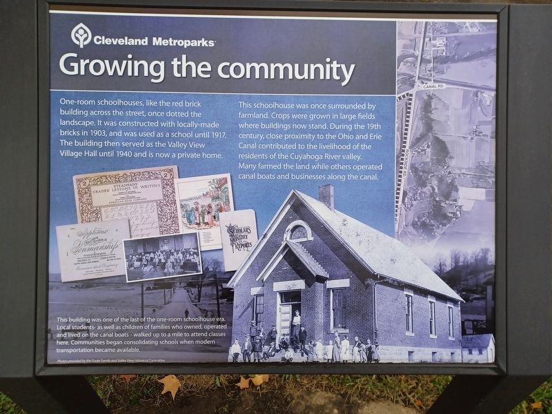
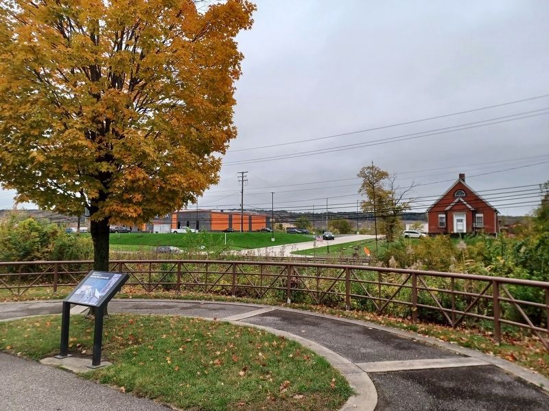
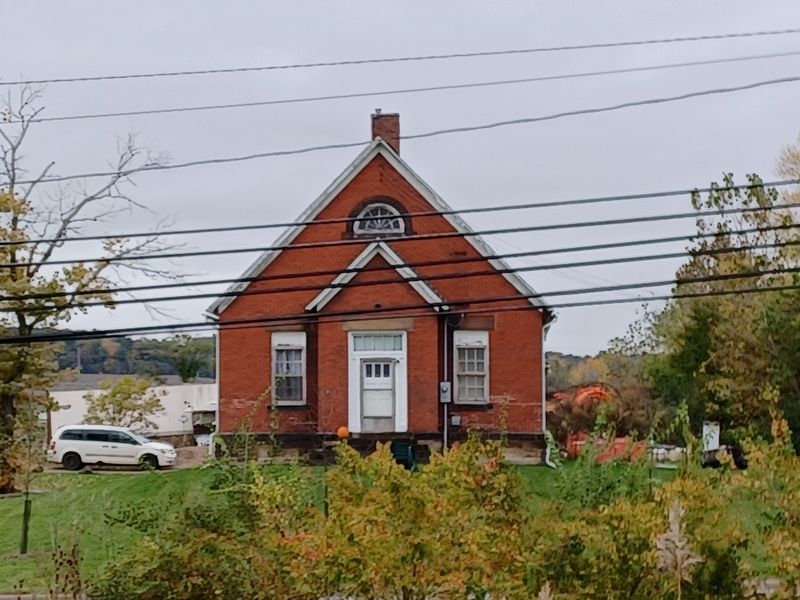
One-room schoolhouses, like the red brick building across the street, once dotted the landscape. It was constructed with locally-made bricks in 1903, and was used as a school until 1917. The building was used as a school until 1917. The building then served as the Valley View Village Hall until 1940 and is now a private home.
This schoolhouse was once surrounded by farmland. Crops were grown in large fields where buildings now stand. During the 19th century, close proximity to the Ohio and Erie Canal contributed to the livelihood of the residents of the Cuyahoga River valley.
Many farmed the land while others operated canal boats and businesses along the canal.
Caption:
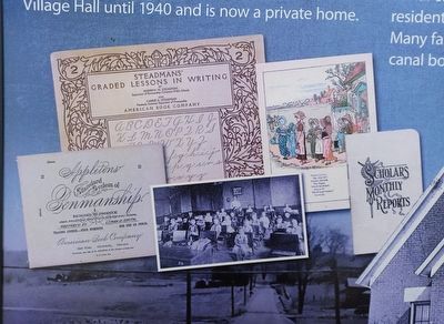
This building was one of the last of the one-room schoolhouse era. Local students- as well as children of families who owned, operated and lived on the canal boats - walked up to a mile to attend classes here. Communities began consolidating schools when modern transportation became available.
Erected by Cleveland Metroparks.
Topics. This historical marker is listed in these topic lists: Agriculture • Education • Government & Politics. A significant historical year for this entry is 1903.
Location. 41° 23.858′ N, 81° 37.64′ W. Marker is in Valley View, Ohio, in Cuyahoga County. Marker is on West Canal Road, 0.2 miles north of Old Rockside Road, on the right when traveling north. Marker is on the Towpath Trail, next to West Canal Road. Touch for map. Marker is in this post office area: Cleveland OH 44125, United States of America. Touch for directions.
Other nearby markers. At least 8 other markers are within 2 miles of this marker, measured as the crow flies. Route to the Coalfields (approx. 0.4 miles away); Industrial Cleveland (approx. 0.4 miles away); Ride the Rails (approx. 0.4 miles away); Late Prehistoric Period (approx. 0.9 miles away); South Park Village and the Whittlesley Tradition (approx. 0.9 miles away); The Quarry Era (approx. 1.3 miles away); Old Stone Church of Independence Sesquicentennial (approx. 1.3 miles away); "Veterans Plaza" (approx. 1.4 miles away). Touch for a list and map of all markers in Valley View.
Credits. This page was last revised on October 24, 2023. It was originally submitted on October 24, 2023, by Joel Seewald of Madison Heights, Michigan. This page has been viewed 53 times since then and 12 times this year. Photos: 1, 2, 3, 4. submitted on October 24, 2023, by Joel Seewald of Madison Heights, Michigan.


