Pontiac in Oakland County, Michigan — The American Midwest (Great Lakes)
Woodward Avenue
A True Original
No location has been more vital to the development of modern highways
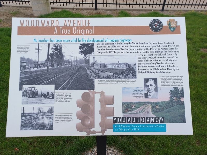
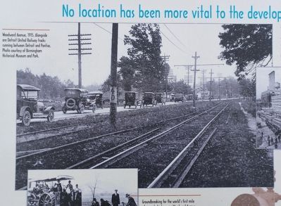
and the automobile. Built along the Native American Saginaw Trail, Woodward Avenue in the 1800s was the most important pathway of growth between Detroit and that inland settlement of Pontiac. Incorporation of the Detroit to Pontiac Turnpike Company in 1837 began its refinement into a reliable road through the challenging terrain of southern Oakland County. By the early 1900s, the world witnessed the birth of the auto industry and highway innovations along Woodward Avenue. For these reasons and more, it has been honored as an All-American Road by the Federal Highway Administration.
You Auto Know
All of Woodward Avenue from Detroit to Pontiac was fully paved by 1916.
Erected by MotorCities National Heritage Area, National Park Service.
Topics and series. This historical marker is listed in this topic list: Roads & Vehicles. In addition, it is included in the MotorCities National Heritage Area series list. A significant historical year for this entry is 1837.
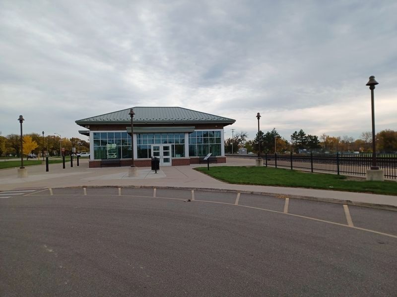
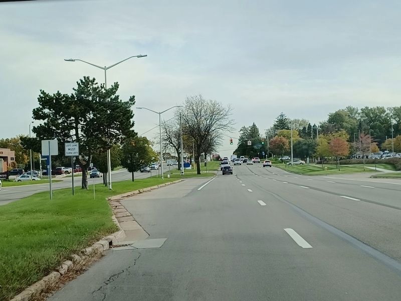
Location. 42° 37.967′ N, 83° 17.541′ W. Marker is in Pontiac, Michigan, in Oakland County. Marker is at the intersection of Woodward Avenue (State Highway 1) and Judson Street , on the right when traveling south on Woodward Avenue. Marker is next to the Pontiac Amtrak station. Touch for map. Marker is at or near this postal address: 51000 Woodward Avenue, Pontiac MI 48341, United States of America. Touch for directions.
Other nearby markers. At least 8 other markers are within walking distance of this marker. First Methodist Episcopal Church (about 500 feet away, measured in a direct line); St. Vincent de Paul Church (approx. 0.2 miles away); St. Vincent De Paul World War II Memorial (approx. 0.2 miles away); Great Migrations (approx. ¼ mile away); Wessen & Bagley (approx. ¼ mile away); Pontiac's Coach Builders (approx. ¼ mile away); Building Trucks In Pontiac (approx. ¼ mile away); From Trail To Pavement (approx. ¼ mile away). Touch for a list and map of all markers in Pontiac.
Also see . . . Good Roads Movement. Wikipedia article (Submitted on October 25, 2023, by Joel Seewald of Madison Heights, Michigan.)
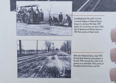
Top: Photo courtesy of Wayne County. Bottom: Photo courtesy of Birmingham Historical Museum and Park
3. Woodward Avenue: A True Original Marker — lower left images
Top: Groundbreaking for the world's first mile of concrete highway on Woodward Avenue between Six and Seven Mile Roads, 1909. Another first was the four-way electric traffic light at Woodward and Michigan Avenues in 1918. Bottom: North end of Woodward Avenue, about 1900. The Good Roads Movement among planners in the early 1900s improved these roads for the growing use of automobiles.
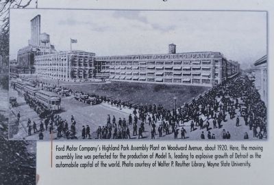
Photo courtesy of Walter P. Reuther Library, Wayne State University.
4. Woodward Avenue: A True Original Marker — center image
Ford Motor Company's Highland Park Assembly Plant on Woodward Avenue, about 1920. Here, the moving assembly line was perfected for the production of Model Ts, leading to explosive growth of Detroit as the automobile capital of the world.

Top: Photo courtesy of Paul Seeley. Bottom: Image courtesy of Oakland County.
5. Woodward Avenue: A True Original Marker — lower right images
Top: Thaddeus De Witt Seeley, Oakland County realtor and investor, mayor of Pontiac in the 1920s, and member of the Michigan legislature. Bottom: On behalf of Michigan's governor, Thaddeus DeWitt Seeley of Pontiac assembled property along Woodward Avenue in the 1920s to widen the roadway to accommodate increasing automobile traffic and community growth between Detroit and Pontiac. The result in 1923 was the nation's first "super highway", eight lanes divided by a 50-foot median from Six Mile Road to Pontiac.
Credits. This page was last revised on October 25, 2023. It was originally submitted on October 25, 2023, by Joel Seewald of Madison Heights, Michigan. This page has been viewed 61 times since then and 13 times this year. Photos: 1, 2, 3, 4, 5, 6, 7. submitted on October 25, 2023, by Joel Seewald of Madison Heights, Michigan.
