Near Saltillo in Hopkins County, Texas — The American South (West South Central)
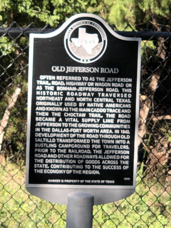
Old Jefferson Road
Erected 2019 by Texas Historical Commission. (Marker Number 22530.)
Topics. This historical marker is listed in this topic list: Roads & Vehicles. A significant historical year for this entry is 1842.
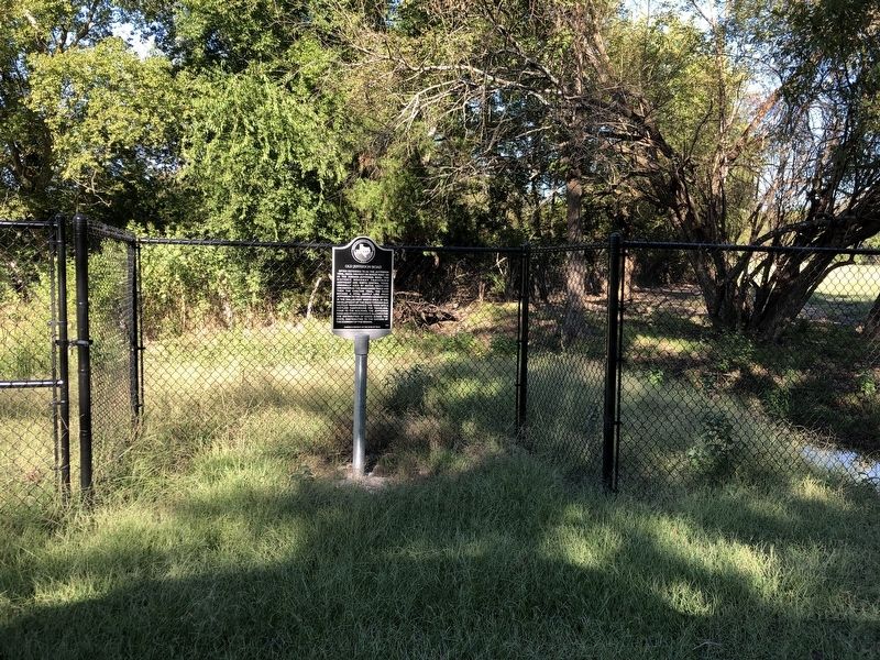
Location. 33° 9.862′ N, 95° 19.205′ W. Marker is near Saltillo, Texas, in Hopkins County. Marker is on County Road 3357, ¾ mile east of County Road 900, on the left when traveling east. Touch for map. Marker is in this post office area: Saltillo TX 75478, United States of America. Touch for directions.
Other nearby markers. At least 8 other markers are within 6 miles of this marker, measured as the crow flies. Old Saltillo Cemetery (approx. 0.4 miles away); Franklin County (approx. 5.2 miles away); Providence (approx. 5.4 miles away); Providence Cemetery (approx. 5.4 miles away); First United Methodist Church of Mount Vernon (approx. 5.9 miles away); First Baptist Church of Mount Vernon (approx. 5.9 miles away); Site of the Merchants and Planters National Bank (approx. 5.9 miles away); Franklin County Courthouse (approx. 6 miles away).
Also see . . . Bonham leads regional efforts to revive awareness of Jefferson Highway in Northeast Texas. The Thomas Jefferson Highway is a 2,300-mile-long roadway composed of various local thoroughfares, stretching from Winnipeg, Manitoba to New Orleans. Conceived as an idea in 1915 and dedicated in 1918, the Jefferson Highway runs through Northeast Texas along the way. (John Kanelis, KETR-FM, Oct. 9, 2023) (Submitted on October 25, 2023, by Duane and Tracy Marsteller of Murfreesboro, Tennessee.)
Credits. This page was last revised on October 25, 2023. It was originally submitted on October 25, 2023, by Duane and Tracy Marsteller of Murfreesboro, Tennessee. This page has been viewed 76 times since then and 30 times this year. Photos: 1, 2. submitted on October 25, 2023, by Duane and Tracy Marsteller of Murfreesboro, Tennessee.

