Near Brashear in Hopkins County, Texas — The American South (West South Central)
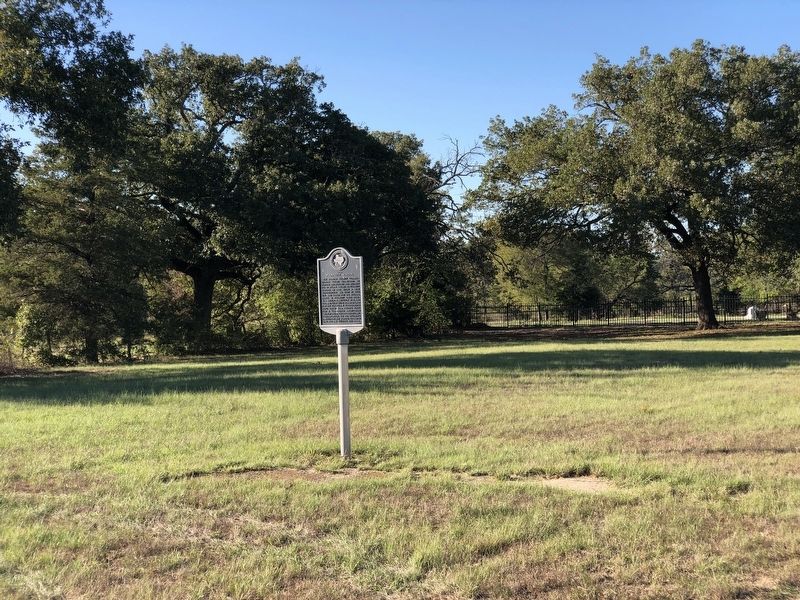
Site of Plunkett School

Photographed by Duane and Tracy Marsteller, October 7, 2023
1. Site of Plunkett School Marker
Erected 1991 by Texas Historical Commission. (Marker Number 7323.)
Topics. This historical marker is listed in this topic list: Education. A significant historical year for this entry is 1903.
Location. 33° 8.19′ N, 95° 47.485′ W. Marker is near Brashear, Texas, in Hopkins County. It is on County Road 4723 0.3 miles north of I-30 Frontage Road, on the left when traveling north. Touch for map. Marker is in this post office area: Cumby TX 75433, United States of America. Touch for directions.

Regionally, this marker is in the American South and in the Piney Woods. Globally, it is in North
this page online
Other nearby markers. At least 8 other markers are within 8 miles of this marker, measured as the crow flies: Cumby (approx. 2.8 miles away); Long Cemetery (approx. 4.3 miles away); Sunny Point Cemetery (approx. 4.7 miles away); Mt. Zion Churches and Cemetery (approx. 5.1 miles away); Oakland Cumberland Presbyterian Church (approx. 5.4 miles away); Stewart Cemetery (approx. 5.8 miles away); Miller Grove Methodist Church (approx. 7.8 miles away); Miller Grove Cemetery (approx. 7.9 miles away).
Photographed by Duane and Tracy Marsteller, October 7, 2023
2. Site of Plunkett School Marker
Credits. This page was last revised on October 25, 2023. It was originally submitted on October 25, 2023, by Duane and Tracy Marsteller of Murfreesboro, Tennessee. This page has been viewed 833 times since then and 106 times this year. Photos: 1, 2. submitted on October 25, 2023, by Duane and Tracy Marsteller of Murfreesboro, Tennessee.
