Gillett in Karnes County, Texas — The American South (West South Central)
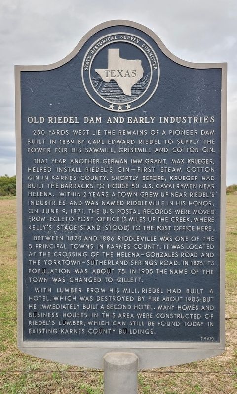
Old Riedel Dam and Early Industries
That year another German immigrant, Max Krueger, helped install Riedel's gin - first steam cotton gin in Karnes County. Shortly before, Krueger had built the barracks to house 50 U.S. Cavalrymen near Helena. Within 2 years a town grew up near Riedel's Industries and was named Riddleville in his honor. On June 9, 1871, the U.S. Postal records were moved from Ecleto post office (3 miles up the creek, where Kelly's Stage Stand stood) to the post office here.
Between 1870 and 1886 Riddleville was one of the 5 principal towns in Karnes County. It was located at the crossing of the Helena-Gonzales Road and the Yorktown-Sutherland Springs Road. In 1876 its population was about 75. In 1905 the name of the town was changed to Gillett.
With lumber from his mill, Riedel had built a hotel, which was destroyed by fire about 1905; but he immediately built a second hotel. Many homes and business houses in this area were constructed of Riedel's lumber, which can still be found today in existing Karnes County buildings.
Erected 1969 by State Historical Survey Committee. (Marker Number 3793.)
Topics. This historical marker is listed in these topic lists: Immigration • Industry & Commerce. A significant historical date for this entry is June 9, 1871.
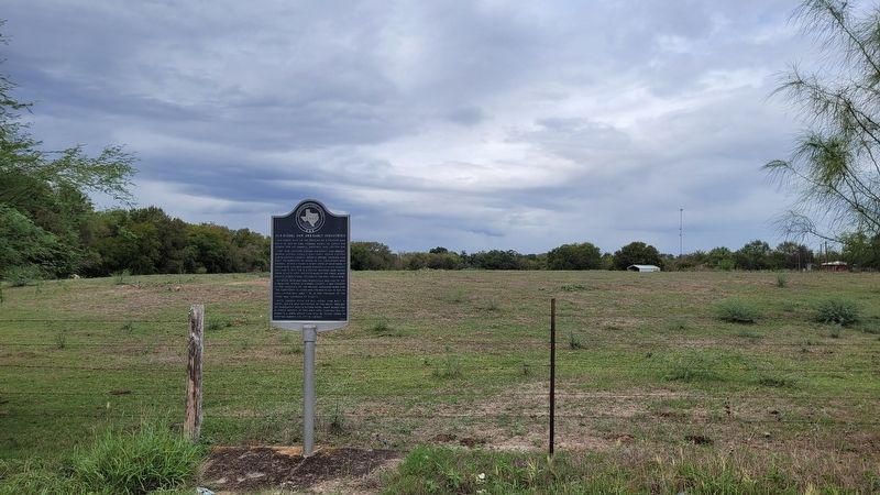
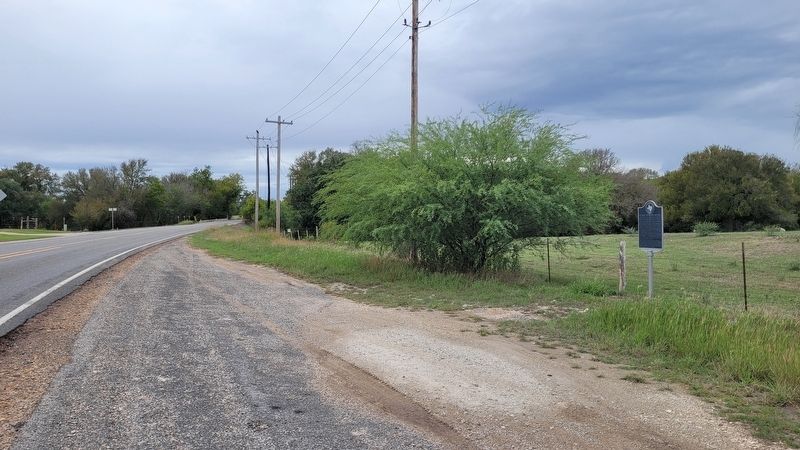
Location. 29° 7.597′ N, 97° 47.332′ W. Marker is in Gillett, Texas, in Karnes County. Marker is on Farm to Market Road 887, 0.2 miles south of Loop State Highway 190, on the right when traveling south. The marker is located along the highway. Touch for map. Marker is at or near this postal address: 21364 FM887, Gillett TX 78116, United States of America. Touch for directions.
Other nearby markers. At least 8 other markers are within 12 miles of this marker, measured as the crow flies. John Wesley Hardin writes an autobiography (about 600 feet away, measured in a direct line); John Wesley Hardin's Wedding Day (about 600 feet away); Harmony Baptist Church and Cemetery (approx. 5˝ miles away); St. Ann's Catholic Church (approx. 10 miles away); First Baptist Church of Nixon (approx. 10.1 miles away); Rancho (approx. 11.8 miles away); El Fuerte del Cibolo (approx. 11.9 miles away); Nativity of the Blessed Virgin Mary Catholic Church (approx. 11.9 miles away). Touch for a list and map of all markers in Gillett.
Also see . . . Gillett, TX. Texas State Historical Association (TSHA)
Gillett is at the intersection of State highways 80 and 119, sixteen miles north of Karnes City in northern Karnes County. The site was first settled around the time of the Civil War at the junction of the San Antonio-Victoria and Helena-Seguin roads. In 1869 Carl Edward Riedel constructed a dam on nearby Ecleto Creek to power his sawmill, gristmill, and cotton gin. The small settlement that developed was named in his honor, but when the community applied for a post office in 1871, postal officials inexplicably changed its spelling from Riedelville to Riddleville. By 1882 Riddleville had, in addition to Riedel's industries, a Methodist church, a school, a physician, and two general stores. Daily mail came from Helena and Luling by hack.(Submitted on October 25, 2023, by James Hulse of Medina, Texas.)
Credits. This page was last revised on October 25, 2023. It was originally submitted on October 25, 2023, by James Hulse of Medina, Texas. This page has been viewed 60 times since then and 16 times this year. Photos: 1, 2, 3. submitted on October 25, 2023, by James Hulse of Medina, Texas.


