Columbia in Monroe County, Illinois — The American Midwest (Great Lakes)
Fort Piggott / Land Grants / Piggotts Ferry
Inscription.
Fort Piggott
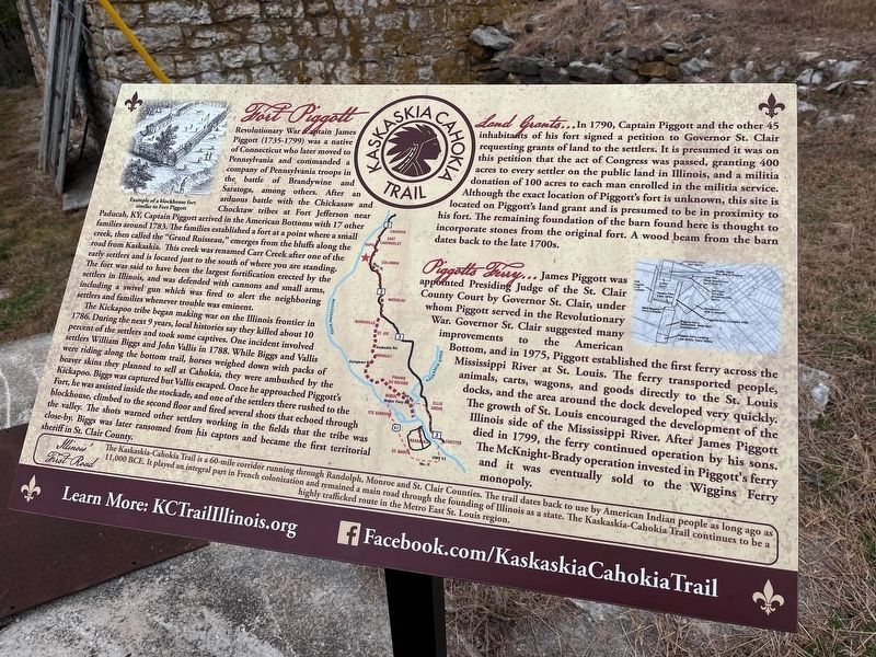
Revolutionary War Captain James Piggot (1735-1799) was a native of Connecticut who later moved to Pennsylvania and commanded a company of Pennsylvania troops in the battle of Brandywine and Saratoga, among others. After an arduous battle with the Chickasaw and Chocktaw tribes at Fort Jefferson near Paducah, KY, Captain Piggott arrived in the American Bottoms with 17 other families around 1783. The families established a fort at a point where a small creek, then called the "Grand Ruisseau," emerges from the bluffs along the road from Kaskaskia. This creek was renamed Carr Creek after one of the early senders and is located just to the south of where you are standing. The fort was said to have been the largest fortification erected by the settlers in Illinois, and was defended with cannons and small arms, including a swivel gun which was fired to alert the neighboring settlers and families whenever trouble was eminent.
The Kickapoo tribe began making war on the Illinois frontier in 1786. During the next 9 years, local histories say they killed about 10 percent of the settlers and took some captives. One incident involved settlers William Biggs and John Vallis in 1788. While Biggs and Vallis were riding along the bottom trail, horses weighed down with packs of beaver skins they planned to sell at Cahokia, they were ambushed by the Kickapoo. Biggs was captured but Vallis escaped. Once he approached Piggott's Fort, he was assisted inside the stockade, and one of the settlers there rushed to the blockhouse, climbed to the second floor and fired several shots that echoed through the valley. The shots warned other settlers working in the fields that the tribe was close-by. Biggs was later ransomed from his captors and became the first territorial sheriff in St. Clair County, Illinois
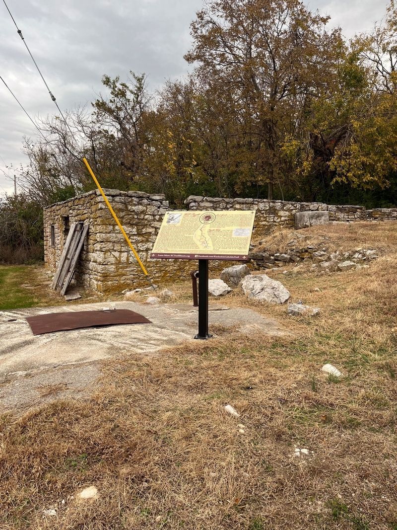
Land Grants… In 1790, Captain Piggott and the other 45 inhabitants of his fort signed a petition to Governor St. Clair requesting grants of land to the settlers. It is presumed it was on this petition that the act of Congress was passed, granting 400 acres to every settler on the public land in Illinois, and a militia donation of 100 acres to each man enrolled in the militia service. Although the exact location of Piggott's fort is unknown, this site is located on Piggott's land grant and is presumed to be in proximity to his fort. The remaining foundation of the barn found here is thought to incorporate stones from the original fort. A wood beam from the barn dates back to the late 1700s.
Piggotts Ferry… James Piggott was appointed Presiding Judge of the St. Clair County Court by Governor St. Clair, under whom Piggott served in the Revolutionary War. Governor
St. Clair suggested many improvements to the American Bottom, and in 1795, Piggott established the first ferry across the Mississippi River at St. Louis. The ferry transported people, animals, carts, wagons, and goods directly to the St. Louis docks, and the area around the dock developed very quickly. The growth of St. Louis encouraged the development of the Illinois side of the Mississippi River. After James Piggott died in 1799, the ferry continued operation by his sons. The McKnight-Brady operation invested in Piggott's Ferry and it was eventually sold to the Wiggins Ferry monopoly.
Erected by Kaskaskia-Cahokia Trail.
Topics. This memorial is listed in these topic lists: Patriots & Patriotism • War of 1812 • War, US Revolutionary • Waterways & Vessels. A significant historical year for this entry is 1788.
Location. 38° 26.907′ N, 90° 13.825′ W. Marker is in Columbia, Illinois, in Monroe County. Memorial is on Bluff Road, 0.4 miles north of Valmeyer Road, on the right when traveling north. The marker stands across the road from Columbia Airport. Touch for map. Marker is at or near this postal address: 11563 Bluff Road, Columbia IL 62236, United States of America. Touch for directions.
Other nearby markers. At least 8 other markers are within 2 miles of this marker, measured as the crow flies. American Freedom Fighter and Palestinian Girl (approx. 0.8 miles away); Palmier Cemetery (approx. 1.3 miles away); a different marker also named Palmier Cemetery (approx. 1.3 miles away); Gundlach-Grosse House (approx. 1.4 miles away); Monroe Brewery (approx. 1.4 miles away); Gundlach-Wagner House (approx. 1˝ miles away); Koch House (approx. 1˝ miles away); Weinel Hardware & Lumber (approx. 1˝ miles away). Touch for a list and map of all markers in Columbia.
Credits. This page was last revised on April 4, 2024. It was originally submitted on October 25, 2023, by Thomas Smith of Waterloo, Ill. This page has been viewed 152 times since then and 103 times this year. Last updated on April 4, 2024, by Meredith L Bousman of Saint Louis, Missouri. Photos: 1, 2. submitted on October 25, 2023, by Thomas Smith of Waterloo, Ill. • Devry Becker Jones was the editor who published this page.

