Nordheim in DeWitt County, Texas — The American South (West South Central)
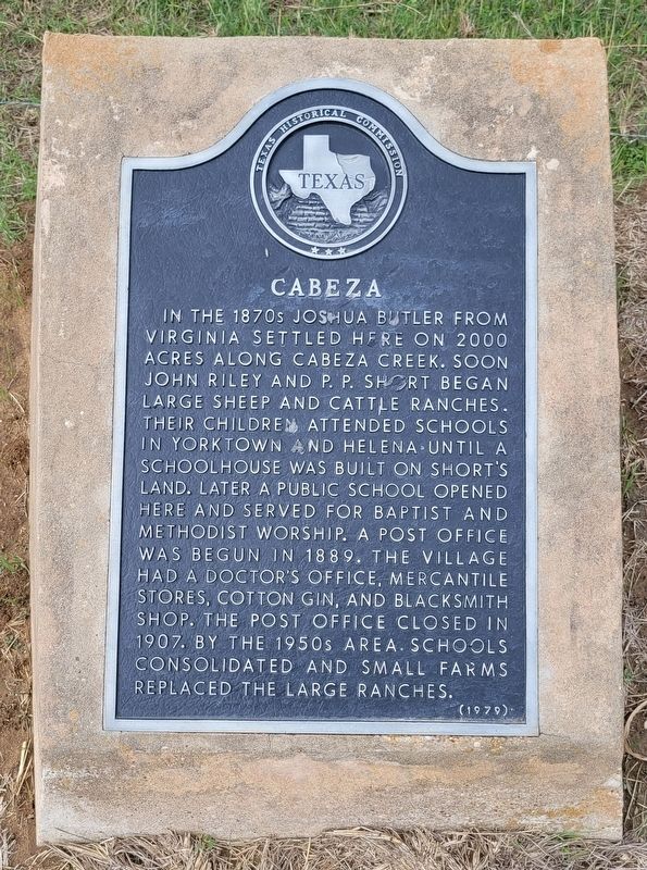
Cabeza
Photographed by James Hulse, October 23, 2023
1. Cabeza Marker
Erected 1979 by Texas Historical Commission. (Marker Number 617.)
Topics. This historical marker is listed in this topic list: Settlements & Settlers. A significant historical year for this entry is 1889.
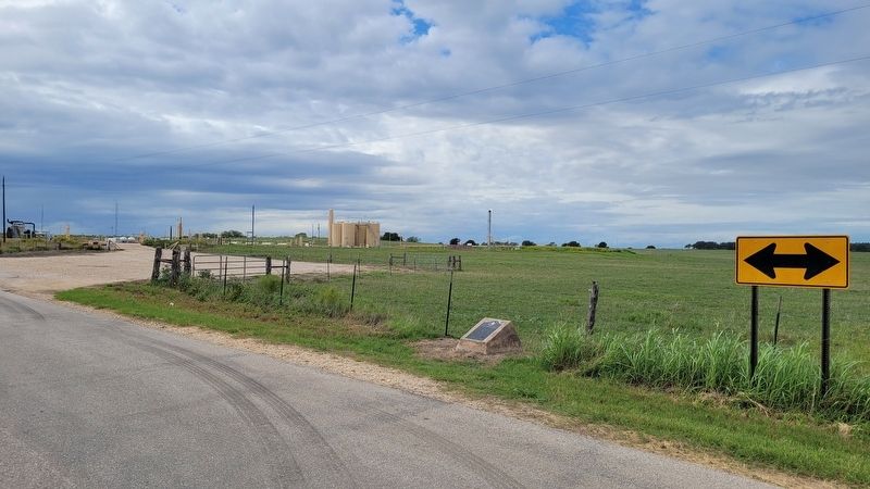
Location. 28° 58.479′ N, 97° 40.349′ W. Marker is in Nordheim, Texas, in DeWitt County. It is at the intersection of Frank Hinojosa Road and Cabeza Road, on the left when traveling north on Frank Hinojosa Road. The marker is located at the intersection. Touch for map. Marker is in this post office area: Nordheim TX 78141, United States of America. Touch for directions.

Regionally,
this page online
Other nearby markers. At least 8 other markers are within 9 miles of this marker, measured as the crow flies: Sociedad Cementerio Union Mexicana Cemetery (approx. 3.8 miles away); Nordheim Shooting Club (approx. 4.7 miles away); Jubilee Park Pavilion (approx. 5 miles away); Pilot Knob (approx. 5.6 miles away); Runge, Texas (approx. 6.6 miles away); Runge Bandstand (approx. 6.6 miles away); Veterans of Foreign Wars Memorial (approx. 6.6 miles away); Thomas Ruckman (approx. 9.1 miles away). Touch for a list and map of all markers in Nordheim.
Also see . . . Cabeza, TX. Texas State Historical Association (TSHA) (Submitted on October 26, 2023, by James Hulse of Medina, Texas.)
Photographed by James Hulse, October 23, 2023
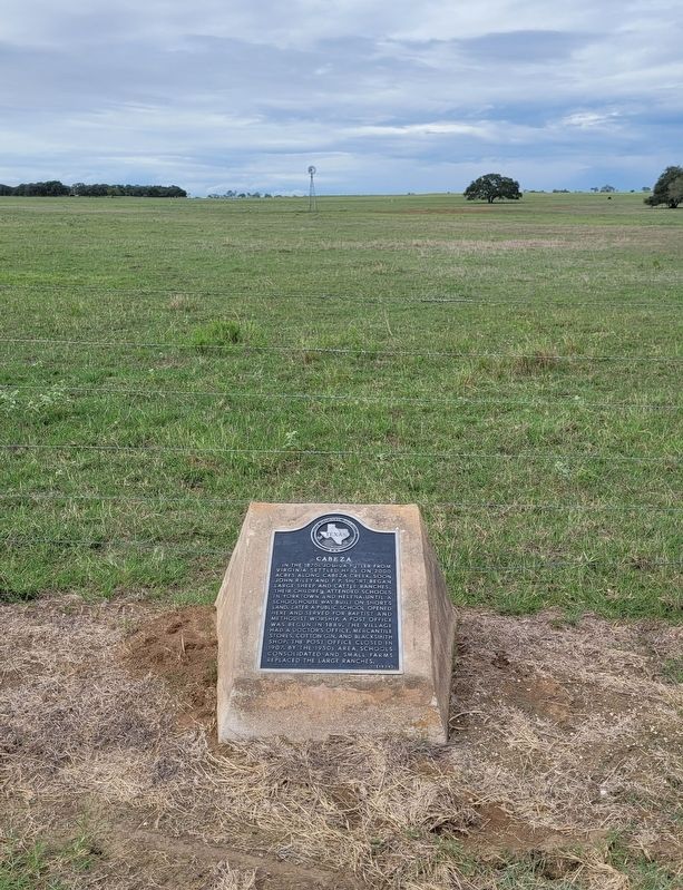
2. Cabeza Marker
Photographed by James Hulse, October 23, 2023
3. The view of the Cabeza Marker from the street
Credits. This page was last revised on November 30, 2024. It was originally submitted on October 25, 2023, by James Hulse of Medina, Texas. This page has been viewed 447 times since then and 37 times this year. Photos: 1, 2, 3. submitted on October 26, 2023, by James Hulse of Medina, Texas.
