Wild River State Park near Almelund in Chisago County, Minnesota — The American Midwest (Upper Plains)
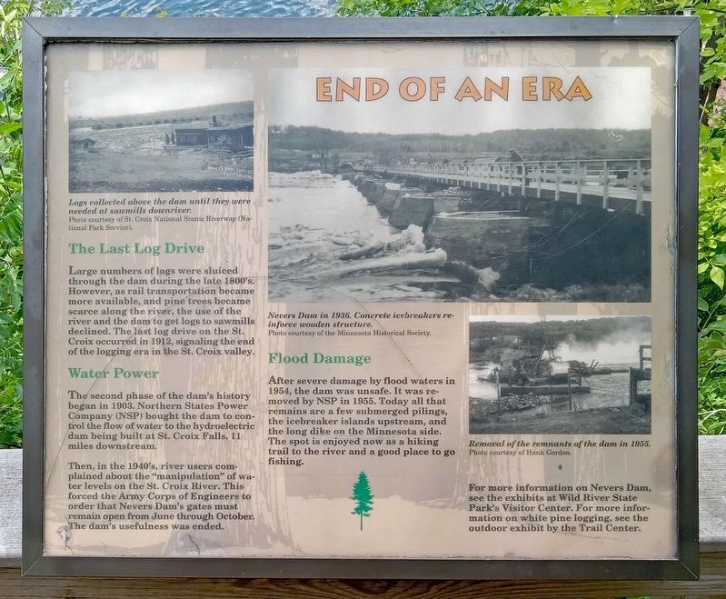
End of an Era
Logs collected above the dam until they were needed at sawmills downriver.
Photo courtesy of St. Croix National Scenic Riverway (National Park Service)
The Last Log Drive
Large numbers of logs were sluiced through the dam during the late 1800's. However, as rail transportation became more available, and pine trees became scarce along the river, the use of the river and the dam to get logs to sawmills declined. The last log drive on the St. Croix occurred in 1912, signaling the end of the logging era in the St. Croix valley.
Water Power
The second phase of the dam's history began in 1903. Northern States Power Company (NSP) bought the dam to control the flow of water to the hydroelectric dam being built at St. Croix Falls, 11 miles downstream.
Then, in the 1940's, river users complained about the "manipulation" of water levels on the St. Croix River. This forced the Army Corps of Engineers to order that the Nevers Dam's gates must remain open from June through October. The dam's usefulness was ended.
Nevers Dam in 1936. Concrete icebreakers reinforce wooden structure.
Photo courtesy of the Minnesota Historical Society.
Flood Damage
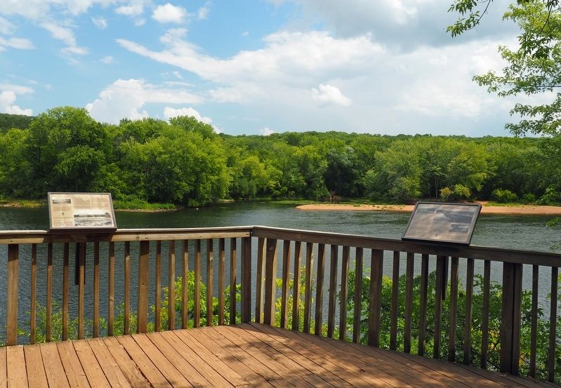
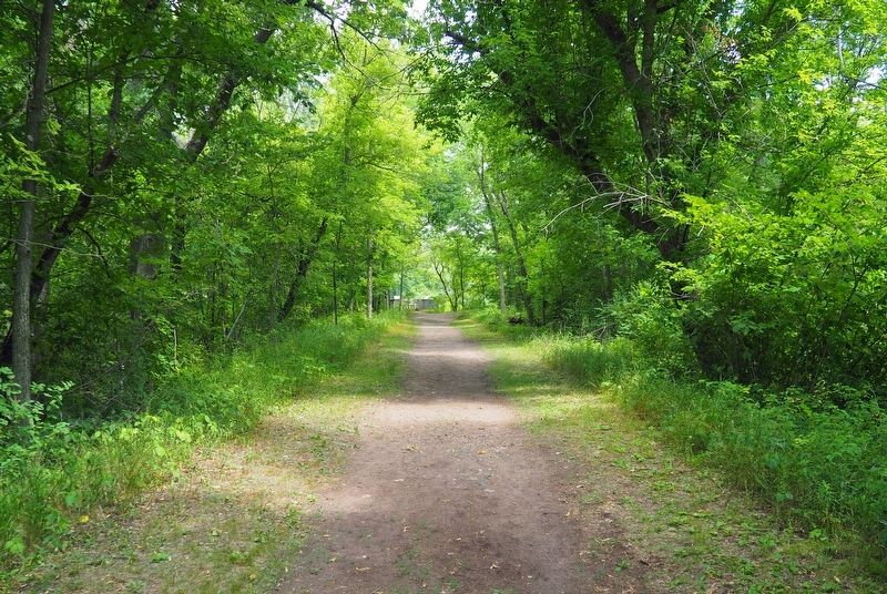
After severe damage by flood waters in 1954, the dam was unsafe. It was removed by NSP in 1955. Today all that remains are a few submerged pilings, the icebreaker islands upstream, and the long dike on the Minnesota side. The spot is enjoyed now as a hiking trail to the river and a good place to go fishing.
Removal of the remnants of the dam in 1955.
Photo courtesy of Hank Gordon.
For more information on Nevers Dam, see the exhibits at Wild River State Park's Visitor Center. For more information on white pine logging, see the outdoor exhibit by the Trail Center.
Erected by Minnesota Department of Natural Resources.
Topics. This historical marker is listed in these topic lists: Industry & Commerce • Waterways & Vessels. A significant historical year for this entry is 1903.
Location. 45° 32.186′ N, 92° 43.584′ W. Marker is near Almelund, Minnesota, in Chisago County. It is in Wild River State Park. The marker is at the Old Nevers Dam Site, accessible via hiking trail from the picnic area. Touch for map. Marker is at or near this postal address: 37475 Park Trail, North Branch MN 55056, United States of America. Touch for directions.
Other nearby markers. At least 8 other markers are within 2 miles of this marker, measured as the crow flies. Nevers Dam (here, next to this marker); Timber! (here, next to this marker); Bringing Back the Prairie (approx. 0.7 miles away); Who Was Here First?
(approx. one mile away); Early Settlers (approx. 1.1 miles away); What Happened (approx. 1.1 miles away); What Was It Like (approx. 1.2 miles away); Military Road (approx. 1.2 miles away). Touch for a list and map of all markers in Almelund.
Credits. This page was last revised on November 2, 2023. It was originally submitted on October 26, 2023, by McGhiever of Minneapolis, Minnesota. This page has been viewed 47 times since then and 5 times this year. Photos: 1, 2, 3. submitted on October 26, 2023, by McGhiever of Minneapolis, Minnesota. • J. Makali Bruton was the editor who published this page.


