Nottingham in Rockingham County, New Hampshire — The American Northeast (New England)
Nottingham Square
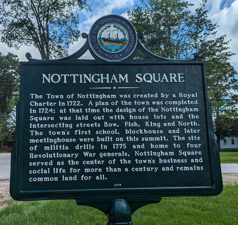
The Town of Nottingham was created by a Royal Charter in 1722. A plan of the town was completed in 1724; at that time the design of the Nottingham Square was laid out with house lots and the intersecting streets Bow, Fish, King and North. The town's first school, blockhouse and later meetinghouse were built on this summit. The site of militia drills in 1775 and home to four Revolutionary War generals. Nottingham Square served as the center of the town's business and social life for more than a century and remains common land for all.
Erected 2018 by New Hampshire Division of Historical Resources. (Marker Number 0259.)
Topics and series. This historical marker is listed in these topic lists: Colonial Era • Settlements & Settlers • War, US Revolutionary. In addition, it is included in the New Hampshire Historical Highway Markers series list.
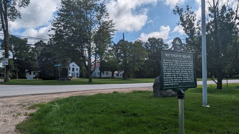
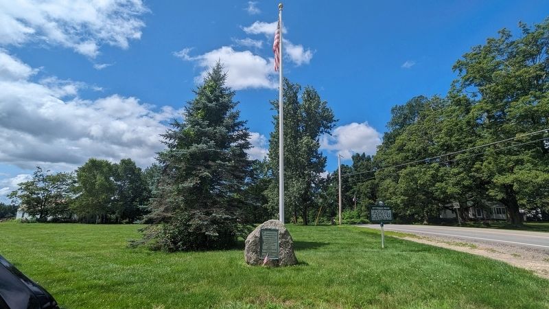
Location. 43° 6.196′ N, 71° 6.62′ W. Marker is in Nottingham, New Hampshire, in Rockingham County. Marker is at the intersection of Raymond Road (New Hampshire Route 156) and Ledge Farm Road, on the right when traveling north on Raymond Road. Touch for map. Marker is in this post office area: Nottingham NH 03290, United States of America. Touch for directions.
Other nearby markers. At least 8 other markers are within 9 miles of this marker, measured as the crow flies. Major John Simpson (approx. 6.9 miles away); Site of the First Congregational Church (approx. 7.7 miles away); John Prescott Lovering's Inn (approx. 7.9 miles away); Civil War Riot of 1861 (approx. 7.9 miles away); Historic Black Rocks Village / Historic Fremont, N.H.-Olde Poplin (approx. 8 miles away); Spaulding & Frost Cooperage (approx. 8 miles away); Fremont Village Cemetery (approx. 8.4 miles away); Meeting House and Hearse House (approx. 8.4 miles away).
Credits. This page was last revised on November 9, 2023. It was originally submitted on October 27, 2023, by Kelly Marsh of Moultonboro, New Hampshire. This page has been viewed 66 times since then and 26 times this year. Photos: 1, 2, 3, 4. submitted on October 27, 2023, by Kelly Marsh of Moultonboro, New Hampshire. • Michael Herrick was the editor who published this page.


