Louisville in Winston County, Mississippi — The American South (East South Central)
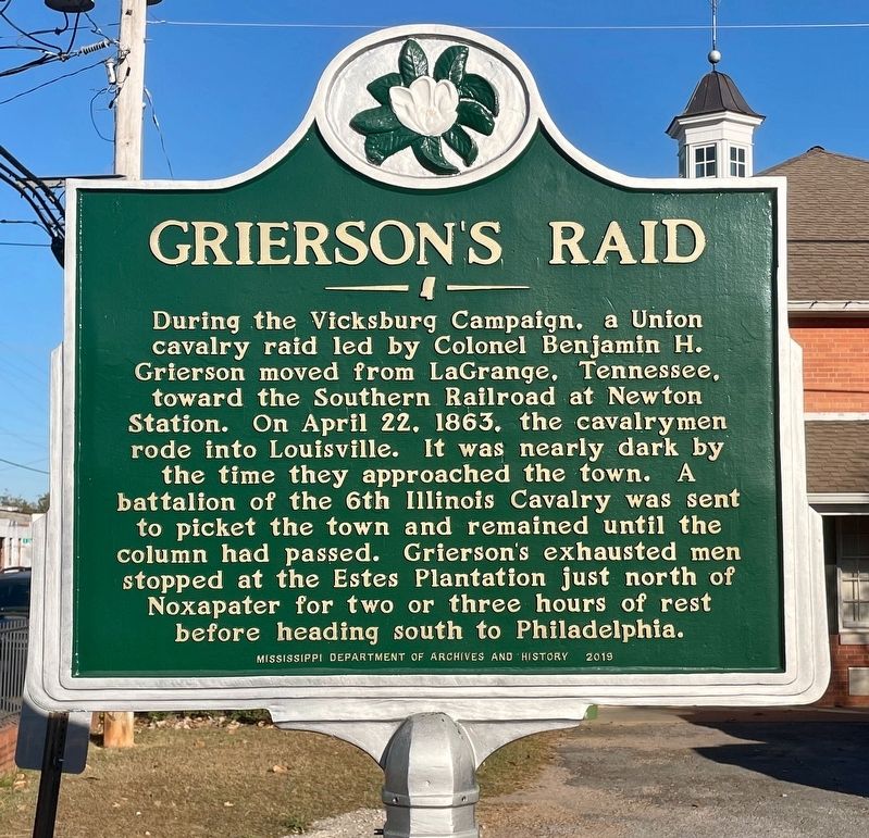
Grierson's Raid
Erected 2019 by Mississippi Department of Archives and History.
Topics. This historical marker is listed in this topic list: War, US Civil. A significant historical date for this entry is April 22, 1863.
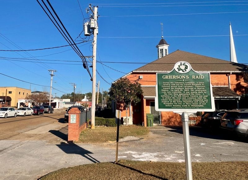
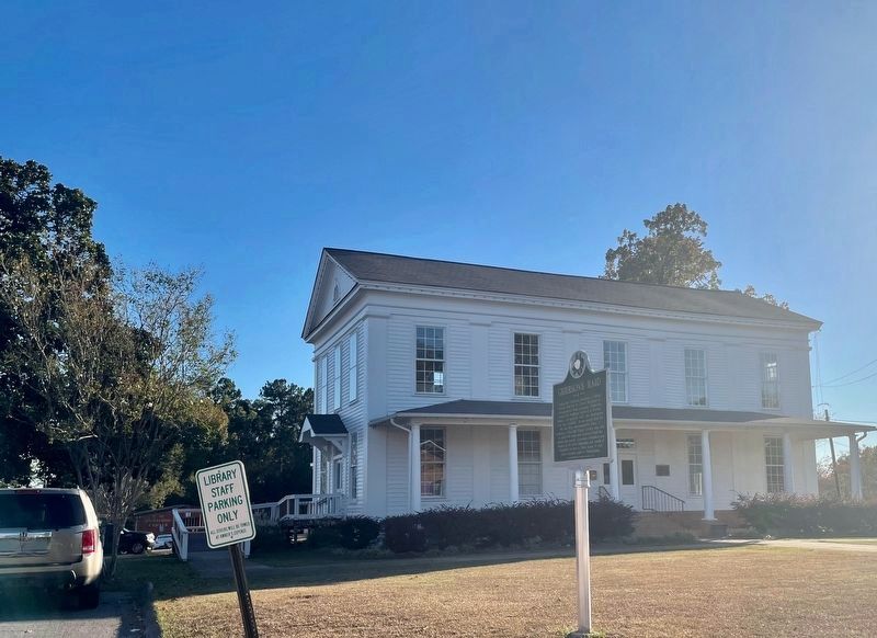
Location. 33° 7.337′ N, 89° 3.363′ W. Marker is in Louisville, Mississippi, in Winston County. Marker is on West Park Street west of South Church Avenue, on the left when traveling west. Located in fron to the Winston County Economic Development offices. Touch for map. Marker is in this post office area: Louisville MS 39339, United States of America. Touch for directions.
Other nearby markers. At least 8 other markers are within 9 miles of this marker, measured as the crow flies. Community House (within shouting distance of this marker); Carl Jackson (about 400 feet away, measured in a direct line); Winston County War Memorial (about 700 feet away); First Presbyterian Church (approx. 0.2 miles away); Winston County Soldiers Monument (approx. 0.2 miles away); “Big Iron” and Camp Palila (approx. 2.2 miles away); Legion Lodge (approx. 2˝ miles away); Bethsalem Presbyterian Church (approx. 8.8 miles away). Touch for a list and map of all markers in Louisville.
Related markers. Click here for a list of markers that are related to this marker.
Credits. This page was last revised on October 27, 2023. It was originally submitted on October 27, 2023, by Mark Hilton of Montgomery, Alabama. This page has been viewed 66 times since then and 18 times this year. Photos: 1, 2, 3. submitted on October 27, 2023, by Mark Hilton of Montgomery, Alabama.


