Near Water Valley in Lafayette County, Mississippi — The American South (East South Central)
Dallas Jones Crossing
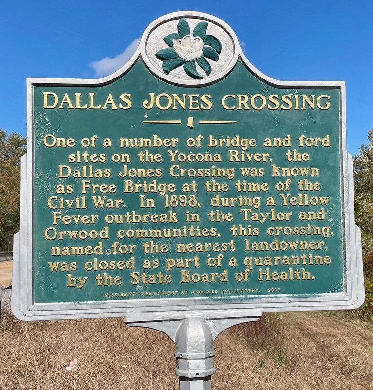
Photographed by Mark Hilton, October 25, 2023
1. Dallas Jones Crossing Marker
Erected 2003 by Mississippi Department of Archives and History.
Topics and series. This historical marker is listed in this topic list: Bridges & Viaducts. In addition, it is included in the Mississippi State Historical Marker Program series list. A significant historical year for this entry is 1898.
Location. 34° 13.246′ N, 89° 38.567′ W. Marker is near Water Valley, Mississippi, in Lafayette County. It is on County Road 387 one mile north of County Road 384, on the right when traveling north. Touch for map. Marker is in this post office area: Water Valley MS 38965, United States of America. Touch for directions.

Regionally, this marker is in the North Mississippi Hills. It is also in the American South and specifically in the Deep South. Globally, it is in North America, a
this page online
Other nearby markers. At least 8 other markers are within 10 miles of this marker, measured as the crow flies: Turnage Drugstore (approx. 4.8 miles away); Cradle of North Mississippi Methodism (approx. 4.8 miles away); Hubert Creekmore (approx. 4.8 miles away); James Ford (approx. 4.8 miles away); Casey Jones (approx. 4.9 miles away); Mississippi Central R.R. Campaign (approx. 7.9 miles away); Buckner-Craig-Isom Cemetery (approx. 9½ miles away); Buckner's Trestle (approx. 9.9 miles away). Touch for a list and map of all markers in Water Valley.
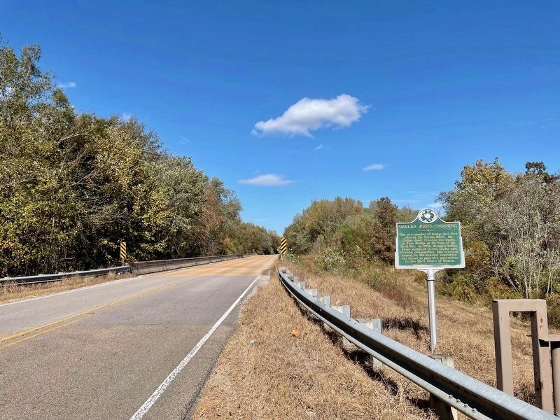
Photographed by Mark Hilton, October 25, 2023
2. Dallas Jones Crossing Marker
The bridge can be seen where the road changes to brown.
Credits. This page was last revised on October 27, 2023. It was originally submitted on October 27, 2023, by Mark Hilton of Montgomery, Alabama. This page has been viewed 996 times since then and 126 times this year. Photos: 1, 2. submitted on October 27, 2023, by Mark Hilton of Montgomery, Alabama.
