Oakland in Garrett County, Maryland — The American Northeast (Mid-Atlantic)
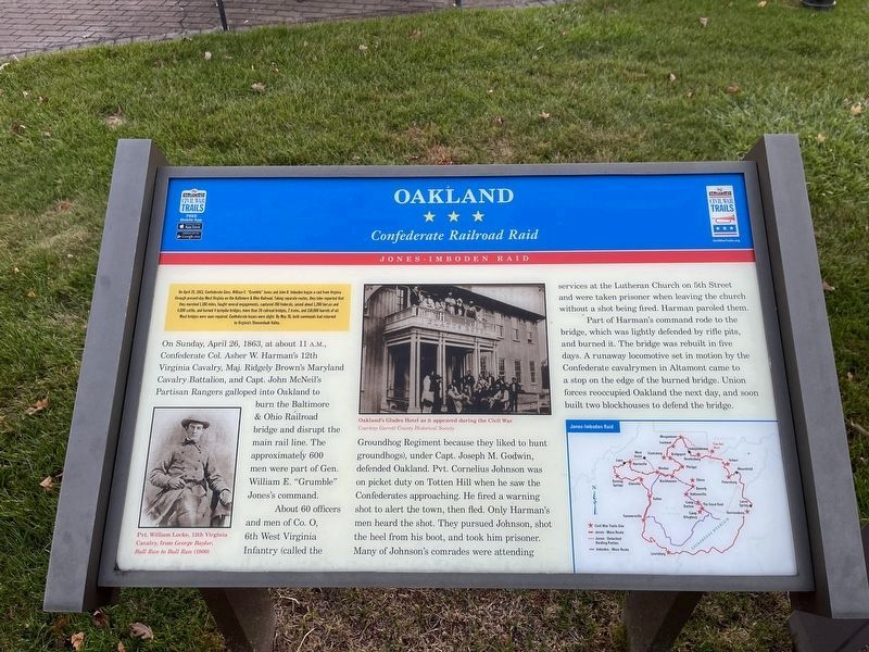
Oakland
Confederate Railroad Raid
— Jones-Imboden Raid —
On April 20, 1863, Confederate Gens. William E. "Grumble" Jones and John D. Imboden began a raid from Virginia through present-day West Virginia on the Baltimore & Ohio Railroad. Taking separate routes, they later reported that they marched 1,100 miles, fought several engagements, captured 700 Federals, seized about 1,200 horses and 4,000 cattle, and burned 4 turnpike bridges, more than 20 railroad bridges, 2 trains, and 150,000 barrels of oil. Most bridges were soon repaired. Confederate losses were slight. By May 26, both commands had returned to Virginia's Shenandoah Valley.
On Sunday, April 26, 1863, at about 11 A.M., Confederate Col. Asher W. Harman's 12th Virginia Cavalry. Maj. Ridgely Brown's Maryland Cavalry Battalion, and Capt. John McNeil's Partisan Rangers galloped into Oakland to burn the Baltimore & Ohio Railroad bridge and disrupt the main rail line. The approximately 600 men were part of William E. "Grumble" Jones's command.
About 60 officers and men of Co. O, 6th West Virginia Infantry (called the Groundhog Regiment because they liked to hunt groundhogs), under Capt. Joseph M. Godwin, defended Oakland. Pvt. Cornelius Johnson was on picket duty on Totten Hill when he saw the Confederates approaching. He fired a warning shot to alert the town, then fled. Only Harman's men heard the shot. They pursued Johnson, shot the heel from his boot, and took him prisoner. Many of Johnson's comrades were attending services at the Lutheran Church on 5th Street and were taken prisoner when leaving the church without a shot being fired. Harman paroled them.
Part of Harman's command rode to the bridge, which was lightly defended by rifle pits, and burned it. The bridge was rebuilt in five days. A runaway locomotive set in motion by the Confederate cavalrymen in Altamont came to a stop on the edge of the burned bridge. Union forces reoccupied Oakland the next day, and soon built two blockhouses to defend the bridge.
Erected by Maryland Civil War Trail.
Topics and series. This historical marker is listed in these topic lists: Railroads & Streetcars • War, US Civil. In addition, it is included in the Baltimore and Ohio Railroad (B&O), and the Maryland Civil War Trails series lists. A significant historical date for this entry is April 20, 1863.
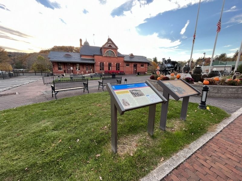
Location. 39° 24.595′ N, 79° 24.51′ W. Marker is in Oakland, Maryland, in Garrett County. Marker is on East Liberty Street west of South 2nd Street, on the left when traveling west. Touch for map. Marker is at or near this postal address: 108 E Liberty St, Oakland MD 21550, United States of America. Touch for directions.
Other nearby markers. At least 8 other markers are within walking distance of this marker. Gettysburg Campaign (a few steps from this marker); 1938 McCormick-Deering Farmall F14 & 1942 John Deere
Related marker. Click here for another marker that is related to this marker. This marker has replaced the linked marker.
Credits. This page was last revised on October 28, 2023. It was originally submitted on October 28, 2023, by Devry Becker Jones of Washington, District of Columbia. This page has been viewed 75 times since then and 28 times this year. Photos: 1, 2. submitted on October 28, 2023, by Devry Becker Jones of Washington, District of Columbia.

