Near Rowlesburg in Preston County, West Virginia — The American South (Appalachia)
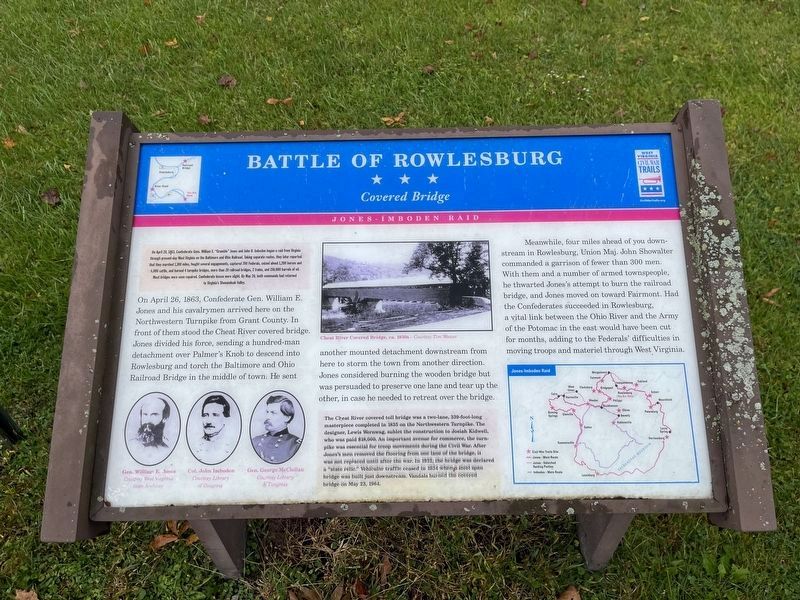
Battle of Rowlesburg
Covered Bridge
— Jones-Imboden Raid —
On April 20, 1863, Confederate Gens. William E. "Grumble" Jones and John D. Imboden began a raid from Virginia through present-day West Virginia on the Baltimore and Ohio Railroad. Taking separate routes, they later reported that they marked 1,100 miles, fought several engagements, captured 700 Federals, seized about 1,200 horses and 4,000 cattle, and burned 4 turnpike bridges, more than 20 railroad bridges, 2 trains, and 150,000 barrels of oil. Most bridges were soon repaired. Confederate losses were slight. By May 26, both commands had returned to Virginia's Shenandoah Valley.
On April 26, 1863, Confederate Gen. William E. Jones and his cavalrymen arrived here on the Northwestern Turnpike from Grant County. In front of them stood the Cheat River covered bridge. Jones divided his force, sending a hundred-man detachment over Palmer's Knob to descend into Rowlesburg and torch the Baltimore and Ohio Railroad Bridge in the middle of town. He sent another mounted detachment downstream from here to storm the town from another direction. Jones considered burning the wooden bridge but was persuaded to preserve one lane and tear up the other, in case he needed to retreat over the bridge.
Meanwhile, four miles ahead of you downstream in Rowlesburg, Union Maj. John Showalter commanded a garrison of fewer than 300 men. With them and a number of armed townspeople, he thwarted Jones's attempt to burn the railroad bridge, and Jones moved on toward Fairmont. Had the Confederates succeeded in Rowlesburg, a vital link between the Ohio River and the Army of the Potomac in the east would have been cut for months, adding to the Federals' difficulties in moving troops and materiel through West Virginia.
The Cheat River covered toll bridge was a two-lane, 339-foot-long masterpiece completed in 1835 on the Nothwestern Turnpike. The designer, Lewis Wernwag, sublet the construction to Josiah Kidwell, who was paid $18,000. An important avenue for commerce, the turnpike was essential for troop movement during the Civil War. After Jones's men removed the flooring from one lane of the bridge, it was not replaced until after the war. In 1932, the bridge was declared a "state relic." Vehicular traffic ceased in 1934 when a steel span bridge was built just downstream. Vandals burned the covered bridge on May 23, 1964.
Erected by West Virginia Civil War Trails.
Topics and series. This historical marker is listed in these topic lists: Bridges & Viaducts • Railroads & Streetcars • War, US Civil
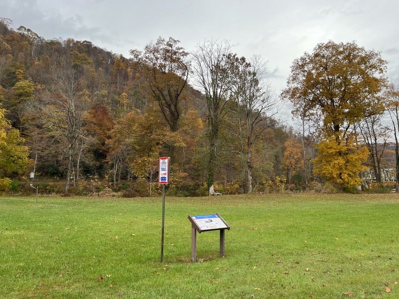
Location. 39° 19.118′ N, 79° 39.306′ W. Marker is near Rowlesburg, West Virginia, in Preston County. Marker is at the intersection of George Washington Highway (U.S. 50) and Hamilton Lane, on the right when traveling south on George Washington Highway. Touch for map. Marker is at or near this postal address: 16308 George Washington Hwy, Rowlesburg WV 26425, United States of America. Touch for directions.
Other nearby markers. At least 8 other markers are within 3 miles of this marker, measured as the crow flies. Civil War Memorial (approx. 2.1 miles away); Rowlesburg Post Office Postmasters (approx. 2.1 miles away); Rowlesburg Veterans Memorial (approx. 2.1 miles away); Downtown Rowlesburg (approx. 2.1 miles away); Tray Run Viaduct (approx. 2.1 miles away); 32 South Church Street (approx. 2.1 miles away); 34 South Church Street (approx. 2.1 miles away); Independent Order of Odd Fellows Building and Property (approx. 2.1 miles away). Touch for a list and map of all markers in Rowlesburg.
Credits. This page was last revised on October 28, 2023. It was originally submitted on October 28, 2023, by Devry Becker Jones of Washington, District of Columbia. This page has been viewed 63 times since then and 28 times this year. Photos: 1, 2. submitted on October 28, 2023, by Devry Becker Jones of Washington, District of Columbia.

