Fairview in Sanpete County, Utah — The American Mountains (Southwest)
Settlement of Fairview
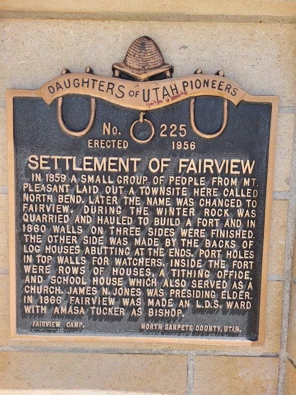
Photographed by Jeremy Snow, August 21, 2024
1. Settlement of Fairview Marker
In 1859, a small group from Mt. Pleasant laid out a townsite here called North Bend. Later the name was changed to Fairview. During the winter rock was quarried and hauled to build a fort, and in 1860 walls of three sides were finished; the other side was made by the backs of log houses abutting at the end. Portholes in top walls were for watcher. Inside the fort were rows of houses, a tithing office, and a schoolhouse which also served as church. James N. Jones was presiding Elder. In 1868 Fairview was made an L.D.S. Ward with Amasa Tucker as Bishop.
Erected 1956 by Fairview Camp, Daughters of Utah Pioneers. (Marker Number 225.)
Topics and series. This historical marker is listed in this topic list: Settlements & Settlers. In addition, it is included in the Daughters of Utah Pioneers series list. A significant historical year for this entry is 1859.
Location. 39° 37.634′ N, 111° 26.347′ W. Marker is in Fairview, Utah, in Sanpete County. It is on South State Street north of East 100 South Street, on the right when traveling north. Touch for map. Marker is at or near this postal address: 65 S State St, Fairview UT 84629,
this page online

Regionally, this marker is in the Central Utah Valleys. It is also in the American Mountain West and on the Colorado Plateau. Globally, it is in North America, the Western Hemisphere, the Western World, and the Anglosphere. Historically, it finds itself in what was once New Spain and also Mexico’s Alta California.
Other nearby markers. At least 8 other markers are within 6 miles of this marker, measured as the crow flies: Mill Stones (here, next to this marker); Niels P. Hjort House (within shouting distance of this marker); An Inspiring Heritage (approx. 0.2 miles away); Fairview Pioneer Cemetery (approx. one mile away); Mt. Pleasant Fort (approx. 5.6 miles away); Pioneer Monument (approx. 5.6 miles away); The Liberal Hall (approx. 5.7 miles away); Last Peace Treaty (approx. 5.8 miles away). Touch for a list and map of all markers in Fairview.
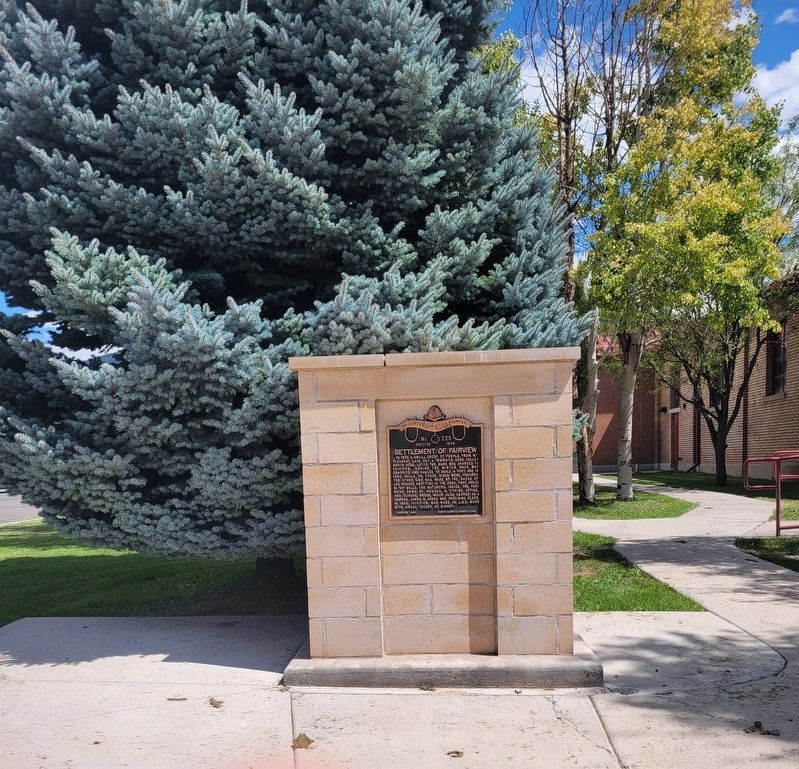
Photographed by Jeremy Snow, August 21, 2024
2. Settlement of Fairview Marker
Credits. This page was last revised on August 21, 2024. It was originally submitted on July 4, 2014, by Bill Kirchner of Tucson, Arizona. This page has been viewed 1,003 times since then and 125 times this year. Last updated on October 30, 2023, by J W of Princeton, New Jersey. Photos: 1, 2. submitted on August 21, 2024, by Jeremy Snow of Cedar City, Utah. • J. Makali Bruton was the editor who published this page.
