Statenkwartier in Maastricht, Limburg, Netherlands — Northwestern Europe
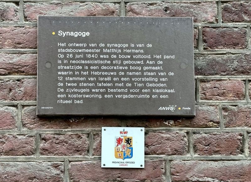
Synagoge
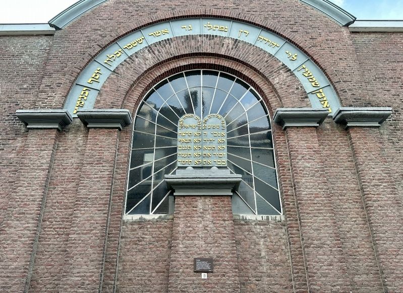
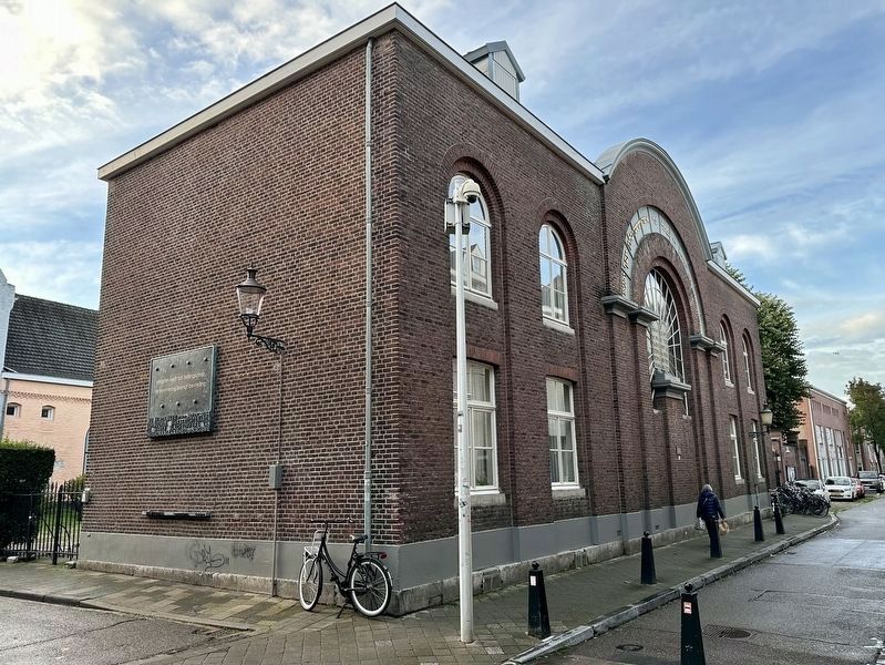
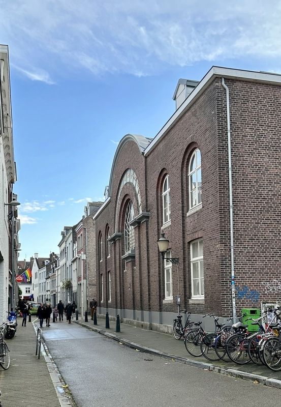
The synagogue was designed by city architect Matthijs Hermans. Construction was completed on June 26, 1840. The building was built in neoclassical style. A decorative arch has been made on the street side, containing the names of the 12 tribes of Israel in Hebrew and a representation of the two stone tablets with the Ten Commandments. The side wings were intended for a classroom, a sexton's house, a meeting room and a ritual bath.
Erected by The ANWB, VVV.
Topics. This historical marker is listed in this topic list: Churches & Religion. A significant historical date for this entry is June 26, 1840.
Location. 50° 51.103′ N, 5° 41.283′ E. Marker is in Maastricht, Limburg. It is in Statenkwartier. Marker is at the intersection of Bogaardenstraat and Capucijnengang, on the left when traveling north on Bogaardenstraat. Touch for map. Marker is at or near this postal address: Capucijnengang 2, Maastricht, Limburg 6211 RV, Netherlands. Touch for directions.
Other nearby markers. At least 8 other markers are within walking distance of this marker. Maastricht Synagogue Holocaust Memorial (a few steps from this marker); Eclectic Store-Residence (about 150 meters away, measured in a direct line); Generaalshuis / Generals House (about 180 meters away); Sint Matthiaskerk / St. Matthias Church (about 210 meters away); Dominicanenkerk / Dominican Church (about 210 meters away); Sint Servaasfontein / Fountain of Saint Servatius (approx. 0.3 kilometers away); Hof van Tilly / Van Tilly City Palace (approx. 0.3 kilometers away); Sint Servaasbasiliek / Basilica of Saint Servatius (approx. 0.3 kilometers away). Touch for a list and map of all markers in Maastricht.
Also see . . . Joods Maastricht (Nederlands Israëlitische Hoofdsynagoge Limburg).
Excerpt (in translation): The new synagogue was built on a former Capuchin monastery site (the “small Capuchin garden”) on the corner of Bogaardenstraat and Capucijnengang, a site that was made available free of charge by the municipality in 1838. The design of(Submitted on November 4, 2023.)the new house of worship was by city architect and drawing teacher Mathijs (Mathieu) Hermans (1789-1842). On August 21, 1840, the new main synagogue was inaugurated, with a festive procession from the Kleine Gracht, under military police escort and watched by thousands of interested parties, to the Bogaardenstraat, while the town hall carillon played. The new building also housed classrooms for the Jewish school founded in 1833.
After the deportation of the Maastricht Jews during the Second World War, the building was confiscated by the German occupier and used as a warehouse. Much of the inventory was destroyed. However, the Torah scrolls were able to be brought to safety in time. In 1965 it turned out that the archives of the Jewish community of Maastricht had also been preserved. American soldiers helped to clear up the worst of the chaos in the synagogue after the liberation of Maastricht in September 1944. In the first years, the adjacent meeting room was used as a prayer room. From 1952 onwards, services were held again in the provisionally restored synagogue. The synagogue was restored from 1964 to 1967, after which the building was solemnly put into use again on September 24, 1967.
Credits. This page was last revised on December 30, 2023. It was originally submitted on November 1, 2023, by Andrew Ruppenstein of Lamorinda, California. This page has been viewed 44 times since then and 6 times this year. Photos: 1. submitted on November 1, 2023, by Andrew Ruppenstein of Lamorinda, California. 2, 3, 4. submitted on November 4, 2023, by Andrew Ruppenstein of Lamorinda, California.


