South Riverfront Park in Alpena in Alpena County, Michigan — The American Midwest (Great Lakes)
Winter Layup
The Fleet During its “Down Time”
— Great Lakes Maritime Heritage Trail —
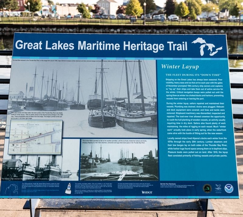
During the winter layup, sailors repaired and maintained their vessels. Plumbing was drained; drains were plugged; lifeboats and deck equipment were covered; and lines and tackle were removed. Shipboard machinery was dismantled, inspected and repaired. The iced-over river allowed crewmen the opportunity to caulk the hull planking of wooden vessels, an activity usually requiring time in dry dock. Sailors also found plenty of work maintaining the miles of rigging on each vessel. Much “winter work” actually took place in early spring, when the waterfront came alive with the bustle of fitting out for the new season.
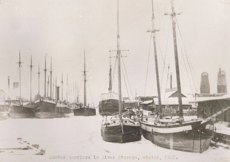
Locally owned ships lined Alpena’s docks each winter from the 1870s through the early 20th century. Lumber steamers and their tow barges lay on both sides of the Thunder Bay River, while harbor tugs found space among them or in bayfront slips. Pleasure boats were pulled out on land. After 1910, the layup fleet consisted primarily of fishing vessels and private yachts.
Erected by Great Lakes Maritime Heritage Trail.
Topics. This historical marker is listed in this topic list: Waterways & Vessels. A significant historical year for this entry is 1910.
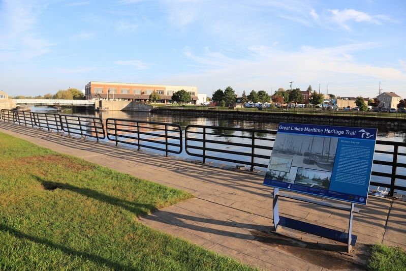
Location. 45° 3.769′ N, 83° 25.786′ W. Marker is in Alpena, Michigan, in Alpena County. It is in South Riverfront Park. Marker is on Alpena Bi-Path just north of the end of North 1st Avenue, on the right when traveling east. Touch for map. Marker is at or near this postal address: 205 Water Street, Alpena MI 49707, United States of America. Touch for directions.
Other nearby markers. At least 8 other markers are within walking distance of this marker. Nordmeer (within shouting distance of this marker); The Third Ward (within shouting distance of this marker); Thunder Bay National Maritime Sanctuary (within shouting distance of this marker); Montana (within shouting distance of this marker); Alpena’s Second Avenue Bridge (about 300 feet away, measured in a direct line); Welcome to the Alpena Water Level Station (about 300 feet away); Grecian (about 300 feet away); Abby’s Story (about 300 feet away). Touch for a list and map of all markers in Alpena.
More about this marker. Three black-and-white photographs and a map take up two thirds of the space on the interpretive panel.
They are captioned as follows, clockwise from the top:
The local fleet wintered in the Thunder Bay River. In this image from around 1895, large Gilchrist Company lumber steamers and their schooner-barges dominate the scene, while two smaller coasting schooners appear in the foreground.
The lumber fleets operated as late as the weather permitted, until the ice finally choked the harbors and docks, bringing shipping to a halt. Here steamers, schooners, and tugs share dock space on the Thunder Bay River.
The wooden lumber steamers Stephen C. Hall and Norseman lie peacefully at the north side dock around 1890.
Map of Thunder Bay River, Mich., 1889. With easy access and deep water, the lower portion of the Thunder Bay river was ideally suited for winter layups. Note an earlier version of the Second Avenue Bridge in this 1889 map. These photographs were all taken from the bridge. The bridge’s pointed center pier can be seen in the [second] image.
Related marker. Click here for another marker that is related to this marker. This link is to the marker that was replaced by this newer version. That entry has some fine photographs. The same photographs and map from the old version were used on this version.

Fred R. Trelfa photo (Public Domain) via Michigan State University Libraries Digital Collections, circa 1900
3. Lumber Carriers in River Storage, Winter, 1900.
Thunder Bay River, Lake Huron, Alpena, Michigan. Possible vessels: Ralph, Sam Flint, Steven C. Hall, Vinland, Viking, Lambert, Effie L. Pierce, Jessie Maggie, and W. T. Chappel.
Credits. This page was last revised on November 5, 2023. It was originally submitted on November 5, 2023, by J. J. Prats of Powell, Ohio. This page has been viewed 49 times since then and 8 times this year. Photos: 1, 2, 3. submitted on November 5, 2023, by J. J. Prats of Powell, Ohio.

