Tuscaloosa in Tuscaloosa County, Alabama — The American South (East South Central)
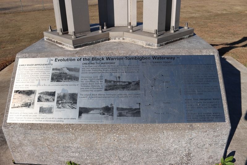
Evolution of the Black Warrior-Tombigbee Waterway
Inscription.
Early River Improvements
Navigation improvements to the Black Warrior River began in 1875 with a project to clear snags, trim overhanging trees, and dredge through shoals. In 1886, the U.S. Congress authorized constructing three locks overcoming the Tuscaloosa Falls, a series of rock rapids falling 25 feet in about two miles.
On Jan 27, 1896, an event held at this site commemorated the opening of these three locks.
Remnants of these locks still exist. Locks #1 and #2 are under water — however, the stone riverbank wall of Lock #3 is visible upriver where it retains the lower terrace of The Park at Manderson Landing.
Creating the Waterway
To facilitate coal shipment, the River and Harbor Acts of 1902 and 1907 authorized various improvements to the Black Warrior and lower Tombigbee Rivers creating 17 locks and dams to provide navigation from the Port of Mobile to near Birmingham, AL.
Christening Lock #17 on May 13, 1915 marked the completion of the original Black Warrior-Tombigbee Waterway. A gala event in Tuscaloosa celebrated this occasion.
The original Black Warrior-Tombigbee Waterway incorporated Locks #1, #2 and #3 and renamed them as Locks #10, #11 and #12.
The Waterway Today
The Black Warrior-Tombigbee Waterway provides a navigation channel nine feet deep and 200 feet wide. From its start at the foot of Water Street in Mobile, AL the waterway extends over 400 miles.
Approximately 20 million tons of commerce moves on the waterway each year. Principal commodities include coal, petroleum products, wood products, and steel products.
The dams create a series of lakes offering a variety of recreational opportunities. Two of the dams provide hydroelectric power.
About This Navigation Marker
Mile “339” marks the location of the original Lock #1 which is against the river bank directly out from this mile marker.
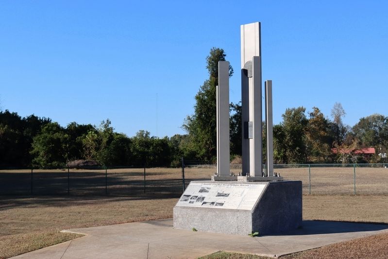
Salvaged and surplus stainless steel components from navigation lock gates comprise the vertical elements of the mile marker.
Captions
Lock Construction along a Portion of the Rapids at Tuscaloosa Falls.
Lock #2 Wall Construction
Lock #1 Gate Installation
Opening of Locks #1, #2 and #3
Quarrying Stone from the Riverbed
Original Lock #1, Lock #2, Lock #3 Looking Upriver
Ceremony to Christen Lock #17
Steamboat John Quill in Lock #3
US Army Corps of Engineers
Alabama Department of Archives and History
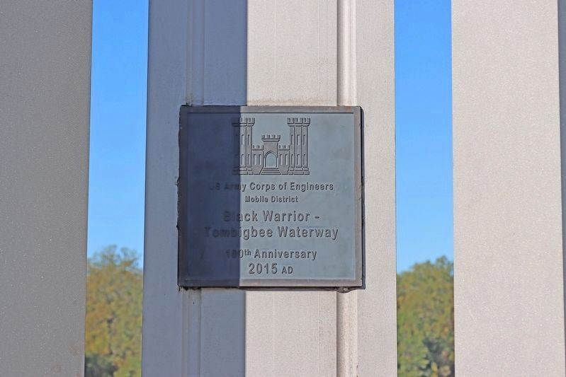
Erected 2015 by US Army Corps of Engineers, Mobile District.
Topics. This historical marker is
listed in these topic lists: Industry & Commerce • Waterways & Vessels. A significant historical date for this entry is May 13, 1915.
Location. 33° 12.921′ N, 87° 33.918′ W. Marker is in Tuscaloosa, Alabama, in Tuscaloosa County. Marker is on 21st Avenue, 0.1 miles north of Jack Warner Parkway, on the right when traveling north. This marker is located along the Tuscaloosa Riverwalk in front of the large open field just west of the US Army Corps of Engineers Project Management Office and the Tuscaloosa River Market. Touch for map. Marker is in this post office area: Tuscaloosa AL 35401, United States of America. Touch for directions.
Other nearby markers. At least 8 other markers are within walking distance of this marker. Queen City Park (about 600 feet away, measured in a direct line); Site of Queen City Park Softball Field (approx. 0.2 miles away); The Black Warrior River (approx. 0.3 miles away); Tuscaloosa City Hall (approx. 0.4 miles away); University Club (approx. 0.4 miles away); Margaret M. DuPont (approx. 0.4 miles away); Burns’ Shoals (approx. 0.4 miles away); Alabama Corps Of Cadets Defends Tuscaloosa (approx. 0.4 miles away). Touch for a list and map of all markers in Tuscaloosa.
Credits. This page was last revised on November 8, 2023. It was originally submitted on November 5, 2023, by Kai NeSmith of Tuscaloosa, Alabama. This page has been viewed 65 times since then and 28 times this year. Photos: 1, 2, 3. submitted on November 5, 2023, by Kai NeSmith of Tuscaloosa, Alabama. • James Hulse was the editor who published this page.


