Vaals, Limburg, Netherlands — Northwestern Europe
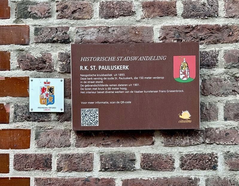
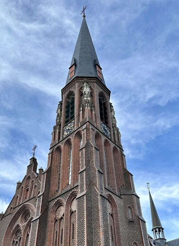
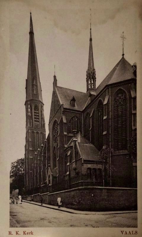
R.K. St. Pauluskerk / St. Paulís Roman Catholic Church
ó Historische Stadswandeling ó
Inscription.
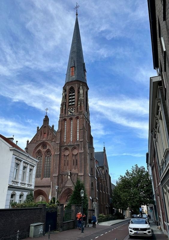
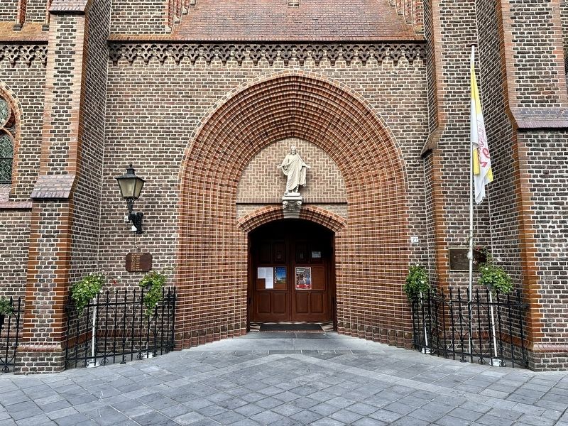
Neo-Gothic cross-shaped basilica from 1893. This church replaced the old St. Paul's Church, which stood 150 meters further down the street. The stained glass windows date from 1901. The tower with cross is 68 meters high. The interior contains various works by the Vaals artist Frans Griesenbrock.
Topics. This historical marker is listed in this topic list: Churches & Religion. A significant historical year for this entry is 1893.
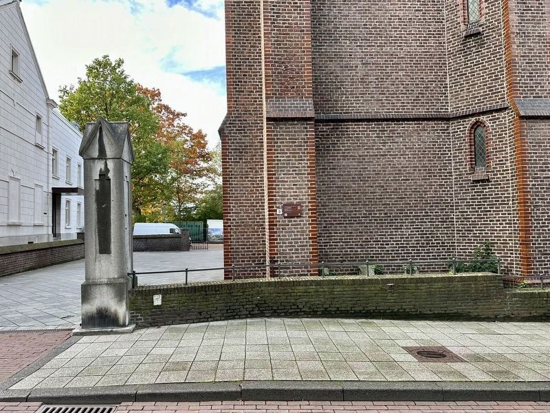
Location. 50° 46.21′ N, 6° 1.354′ E. Marker is in Vaals, Limburg. Marker is on Kerkstraat, on the right when traveling south. Touch for map. Marker is at or near this postal address: Kerkstraat 32, Vaals, Limburg 6291 AC, Netherlands. Touch for directions.
Other nearby markers. At least 8 other markers are within walking distance of this marker. Voormalig Gemeentehuis / Former Town Hall (a few steps from this marker); Oude Nederlands Hervormde Pastorie / Old Dutch Reformed Parsonage (about 120 meters away, measured in a direct line); Nederlands Hervormde Kerk / Dutch Reformed Church (about 120 meters away); Plaats van Deportatie / Ort der Deportation / Place of Deportation (about 150 meters away); a different marker also named Voormalig Gemeentehuis / Former Town Hall (about 180 meters away); Koperhof (about 180 meters away); Haus im Kirchfeld (about 180 meters away); a different marker also named Voormalig Gemeentehuis / Former Town Hall (about 180 meters away). Touch for a list and map of all markers in Vaals.
Also see . . . Saint Paul's Church, Vaals (Wikipedia). (Submitted on November 6, 2023.)
Credits. This page was last revised on December 31, 2023. It was originally submitted on November 6, 2023, by Andrew Ruppenstein of Lamorinda, California. This page has been viewed 42 times since then and 7 times this year. Photos: 1, 2, 3, 4, 5, 6. submitted on November 6, 2023, by Andrew Ruppenstein of Lamorinda, California.
