Silver Hill in Albuquerque in Bernalillo County, New Mexico — The American Mountains (Southwest)
Roosevelt Park and the New Deal
Inscription.
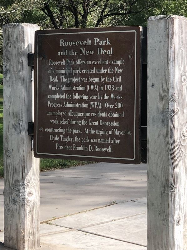
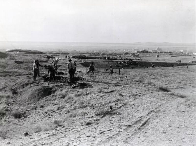
Roosevelt Park offers an excellent example of a municipal park created under the New Deal. The project was begun by the Civil Works Administration (CWA) in 1933 and completed the following year by the Works Progress Administration (WPA). Over 200 unemployed Albuquerque residents obtained work relief during the Great Depression constructing the park. At the urging of Mayor Clyde Tingley, the park was named after President Franklin D. Roosevelt.
Topics and series. This historical marker is listed in these topic lists: Charity & Public Work • Parks & Recreational Areas. In addition, it is included in the National Register of Historic Places, and the Works Progress Administration (WPA) projects series lists. A significant historical year for this entry is 1934.
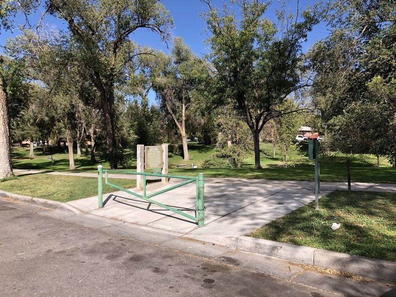
Location. 35° 4.601′ N, 106° 38.002′ W. Marker is in Albuquerque, New Mexico, in Bernalillo County. It is in Silver Hill. Marker is at the intersection of Spruce Street Southeast and Hazeldine Avenue Southeast, on the left when traveling south on Spruce Street Southeast. Touch for map. Marker is in this post office area: Albuquerque NM 87106, United States of America. Touch for directions.
Other nearby markers. At least 8 other markers are within walking distance of this marker. Mary Strong House (approx. 0.4 miles away); Hodgin Hall (approx. 0.6 miles away); Sara Raynolds Hall (approx. 0.6 miles away); Pig ‘n’ Calf Lunch (approx. 0.6 miles away); The Estufa (approx. 0.7 miles away); Albuquerque Landmark (approx. 0.7 miles away); Alumni Memorial Chapel (approx. ¾ mile away); Clarita Garcia de Aranda Allison / Flamenco (approx. 0.8 miles away). Touch for a list and map of all markers in Albuquerque.
Also see . . .
1. Roosevelt Park (PDF). National Register of Historic Places nomination for the park, which was listed in 1996. (Prepared by David Kammer; via National Archives) (Submitted on November 7, 2023, by Duane and Tracy Marsteller of Murfreesboro, Tennessee.)
2. Roosevelt Park. The Cultural Landscape Foundation website entry:
The “Frontier Pastoral” design was created by local landscape architect and greenhouse operator Clarence Edmund “Bud” Hollied. (Submitted on November 7, 2023, by Duane and Tracy Marsteller of Murfreesboro, Tennessee.)
Credits. This page was last revised on November 8, 2023. It was originally submitted on November 7, 2023, by Duane and Tracy Marsteller of Murfreesboro, Tennessee. This page has been viewed 57 times since then and 22 times this year. Photos: 1, 2, 3. submitted on November 7, 2023, by Duane and Tracy Marsteller of Murfreesboro, Tennessee.


