Noble Township near St. Marys in Auglaize County, Ohio — The American Midwest (Great Lakes)
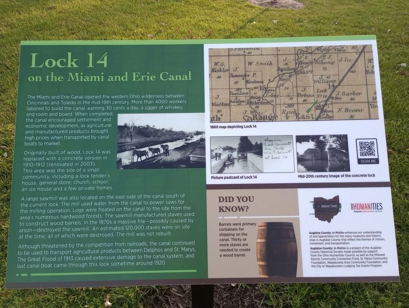
Lock 14 on the Miami and Erie Canal
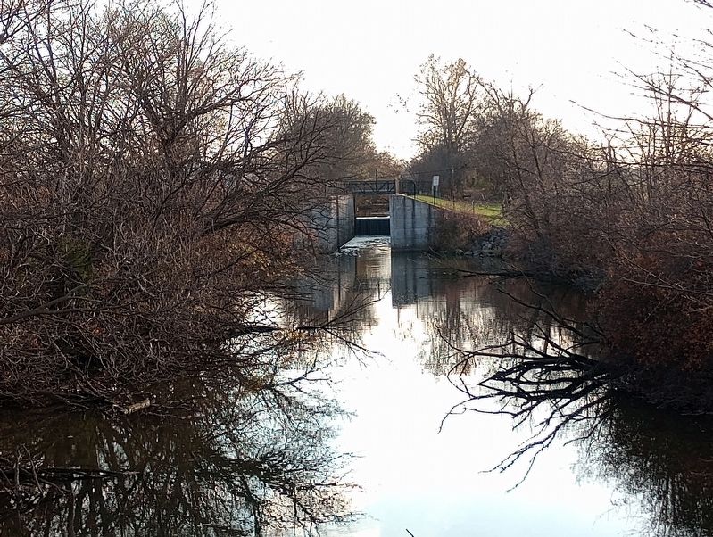
Originally built of wood, Lock 14 was replaced with a concrete version in 1910-1912 (renovated in 2003). This area was the site of a small community, including a lock tender's house, general store, church, school, an ice house and a few private homes.
A large sawmill was also located on the east side of the canal south of the current lock. The mill used water from the canal to power saws for the milling operation. Logs were floated on the canal to the site from the area's numerous hardwood forests. The sawmill manufactured staves used to construct wood barrels. In the 1870s a massive fire-possibly caused by arson-destroyed the sawmill. An estimated 120,000 staves were on site at the time, all of which were destroyed. The mill was not rebuilt.
Although threatened by the competition from railroads, the canal continued to be used to transport agricultural products between Delphos and St. Marys. The Great Flood of 1913 caused extensive damage to the canal system, and last canal boat came through this lock sometime around 1920.
1860 map depicting Lock 14
Picture postcard of Lock 14
Mid-20th century image of the concrete lock
Did You Know?
Barrels were primary containers for shipping on the canal. Thirty or more staves are needed to create a wood barrel.
Auglaize County: In Motion enhances our understanding of and appreciation for the many museums and historic sites in Auglaize County that reflect the themes of motion, movement, and transportation.
Auglaize County: In Motion is a project of the Auglaize County Historical Society made possible by support from the Ohio Humanities Council, as well as the Midwest Electric Community Connection Fund, St. Marys Community Foundation, Wapakoneta Area Community Foundation, and the City of Wapakoneta's Lodging Tax Grants Program.
Topics and series. This historical marker is listed in these topic lists: Industry & Commerce • Waterways & Vessels. In addition, it is included in the The Miami & Erie Canal series list.
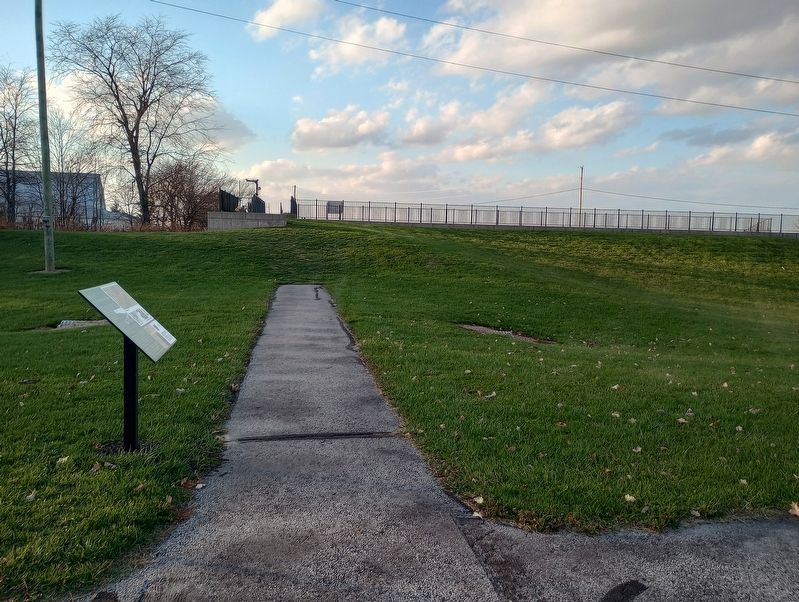
Location. 40° 36.023′ N, 84° 22.17′ W. Marker is near St. Marys, Ohio, in Auglaize County. It is in Noble Township. Marker is on Schillinger Road, on the left when traveling east. Touch for map. Marker is at or near this postal address: 17195 Schillinger Road, Saint Marys OH 45885, United States of America. Touch for directions.
Other nearby markers. At least 8 other markers are within 4 miles of this marker, measured as the crow flies. Broadwell Mill (approx. 1.1 miles away); Noble Township Community Park (approx. 1˝ miles away); Bloody Bridge (approx. 1˝ miles away); 40 Acre Pond (approx. 1.6 miles away); Six Mile Creek Aqueduct / The Miami & Erie Canal (approx. 2.1 miles away); St. Patrick Catholic Church (approx. 3 miles away); St. Marys (approx. 3.6 miles away); Veterans Memorial (approx. 3.7 miles away). Touch for a list and map of all markers in St. Marys.
Credits. This page was last revised on November 24, 2023. It was originally submitted on November 9, 2023, by Craig Doda of Napoleon, Ohio. This page has been viewed 55 times since then and 13 times this year. Photos: 1, 2, 3. submitted on November 9, 2023, by Craig Doda of Napoleon, Ohio. • Andrew Ruppenstein was the editor who published this page.


