Central Vancouver in Metro Vancouver, British Columbia — Canada’s West Coast (North America)
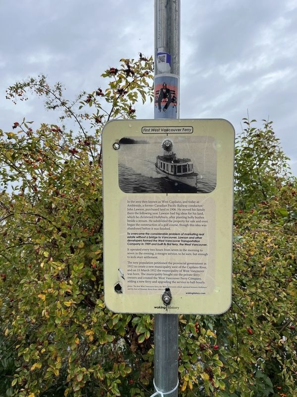
First West Vancouver Ferry
To overcome the considerable problem of marketing real estate without a bridge to Vancouver, Lawson and other developers formed the West Vancouver Transportation Company in 1909 and built its first ferry, the West Vancouver.
It operated every two hours from seven in the morning to seven in the evening, a meagre service, to be sure but enough to kick-start settlement.
The new population petitioned the provincial government in 1912 to create a new municipality west of the Capilano River, and on 15 March 1912 the municipality of West Vancouver was born. The municipality bought out the private ferry owners and created the West Vancouver Ferry Company, adding a new ferry and upgrading the service to half-hourly.
Erected by Waking History.
Topics. This historical marker is listed in these topic lists: Settlements & Settlers • Waterways & Vessels. A significant historical date for this entry is March 15, 1912.
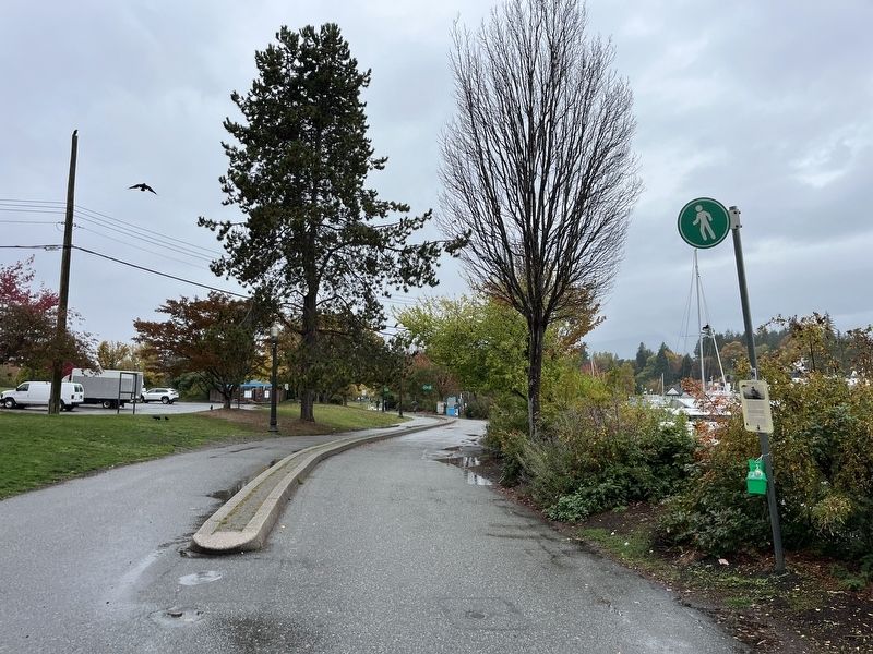
Location. 49° 17.617′ N, 123° 7.95′ W. Marker is in Vancouver, British Columbia, in Metro Vancouver. It is in Central Vancouver. Marker is on Denman Street. Touch for map. Marker is at or near this postal address: 550 Denman Street, Vancouver BC V6G 3J1, Canada. Touch for directions.
Other nearby markers. At least 8 other markers are within walking distance of this marker. From Coal Seams to Park (about 150 meters away, measured in a direct line); First Known AIDS Memorial (about 150 meters away); Vancouver Rowing Club (approx. 0.4 kilometers away); Before the Lagoon Was Lost (approx. 0.4 kilometers away); Robert Burns (approx. 0.4 kilometers away); Warren G. Harding Memorial (approx. 0.6 kilometers away); The Rose Garden (approx. 0.6 kilometers away); Vancouver's First Entertainment Hub (approx. 0.7 kilometers away). Touch for a list and map of all markers in Vancouver.
Credits. This page was last revised on November 10, 2023. It was originally submitted on November 9, 2023, by Adam Margolis of Mission Viejo, California. This page has been viewed 37 times since then and 6 times this year. Photos: 1, 2. submitted on November 9, 2023, by Adam Margolis of Mission Viejo, California. • Andrew Ruppenstein was the editor who published this page.

