Upperville in Loudoun County, Virginia — The American South (Mid-Atlantic)
Preserving The Battlefield
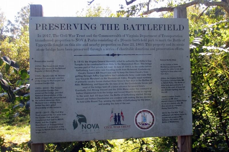
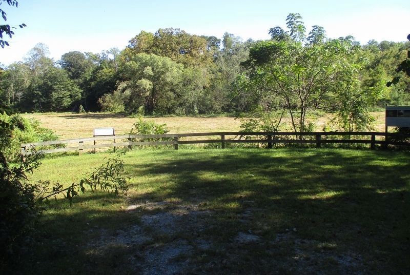
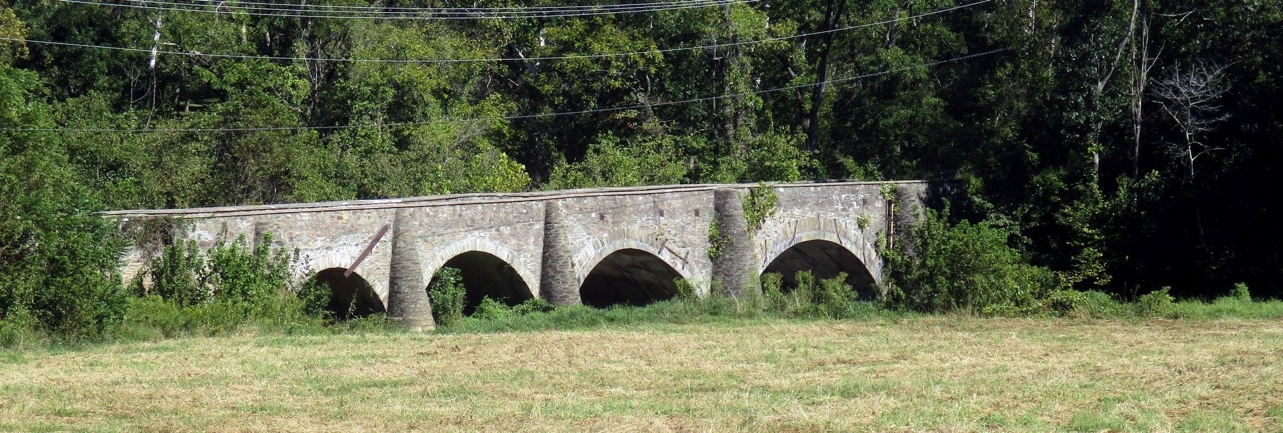
In 2017, The Civil War Trust and the Commonwealth of Virginia Department of Transportation transferred properties to NOVA Parks consisting of a 20-acre battlefield park to mark the Battle of Upperville fought on this site and nearby properties on June 21, 1863. This property and its scenic stone bridge have been preserved through a series of charitable donations and preservation efforts.
In 1810, the Virginia Central Assembly acted to authorize the Ashby’s Gap Turnpike to be constructed from Aldie to the Shenandoah River. The bridge became part of that private toll road. In June of 1863, in the weeks before Gettysburg, Lee’s army was traveling north from Richmond Confederate Cavalry General JEB Stuart was sent to keep the Union cavalry from getting towards Ashby Gap before the Confederate Army could make their way towards Maryland vis the Shenandoah Valley. Roughly equal numbers of primarily cavalry forces clashed three times in four days in the Battle of Aldie, Middleburg, and Upperville. On June 21, the Confederate forces just west of the ridge held off a Union advance for several hours.
Eventually, Col. Strong Vincent and the 20th Maine under the command of Joshua Chamberlain took the bridge and forced Stuart’s forces to regroup to the west. Just 10 days later, the Battle of Gettysburg started. Strong Vincent and Joshua Chamberlain are credited with making the key decision to hold Little Round Top, winning the battle for the Union and sealing the fate of the war.
Preservation Timeline
1974 – The Goose Creek Stone Bridge was placed on the National Register of historic Places.
1995 – Senator John W. Warner donated 12 acres and a portion of the bridge to the Fauquier and Loudoun Garden Club.
1995 – 2006 - The Fauquier and Loudoun Garden Club preserved the bridge, provided historic interpretation of the Battle of Upperville, and protected the natural resources. Anne MacLeod was a driving force behind the club’s great stewardship of this resource.
2016 – 2017 – The Civil War Trust acquired the 12 acres from the Garden Club and later transferred that land to NOVA parks, and the Virginia Department of Transportation transferred 7 acres east of the bridge to NOVA Parks creating a larger park.
Related Battle Sites:
At the battles of Aldie, Middleburg and Upperville largely the same forces were fighting in three sites over four days.
2006: the Virginia Outdoor Foundation donated Aldie Mill to NOVA parks. The Battle of Aldie took place primarily in the fields to the west of town, but also included fighting close to the mill.
2009: Loudoun Country transferred Mt. Zion Historic Church to NOVA Parks to run as a historic site. Mt. Zion serves as a hospital
during these battles.
2015: the Civil War Trust partnered with NOVA Parks to acquire and preserve Mt. Defiance, the center of the Battle of Middleburg.
Erected by NOVA Parks, Civil War Trust, Commonwealth of Virginia.
Topics. This historical marker is listed in these topic lists: Bridges & Viaducts • War, US Civil. A significant historical date for this entry is June 21, 1863.
Location. 38° 58.911′ N, 77° 49.26′ W. Marker is in Upperville, Virginia, in Loudoun County. Marker can be reached from Lemmon Bottom Road (County Route 832) north of Johns S. Mosby Memorial Highway (Virginia Route 50). Touch for map. Marker is at or near this postal address: Goose Creek Bridge Historic Park, Upperville VA 20184, United States of America. Touch for directions.
Other nearby markers. At least 8 other markers are within 2 miles of this marker, measured as the crow flies. In Appreciation of the Fauquier and Loudoun Garden Club (here, next to this marker); Attack At Goose Creek Bridge (here, next to this marker); Civil War Cavalry Equipment (about 400 feet away, measured in a direct line); Rector House (approx. 0.8 miles away); Rector’s Crossroads (approx. 0.8 miles away); Mosby’s Rangers (approx. 0.9 miles away); Welbourne (approx. 0.9 miles away); Rokeby Stables (approx. 1.2 miles away). Touch for a list and map of all markers in Upperville.
Credits. This page was last revised on November 11, 2023. It was originally submitted on November 11, 2023, by Larry Gertner of New York, New York. This page has been viewed 65 times since then and 21 times this year. Photos: 1, 2, 3. submitted on November 11, 2023, by Larry Gertner of New York, New York.


