Lincoln Township near Onawa in Monona County, Iowa — The American Midwest (Upper Plains)
Prairies in the Hills
— Loess Hills National Scenic Byway —
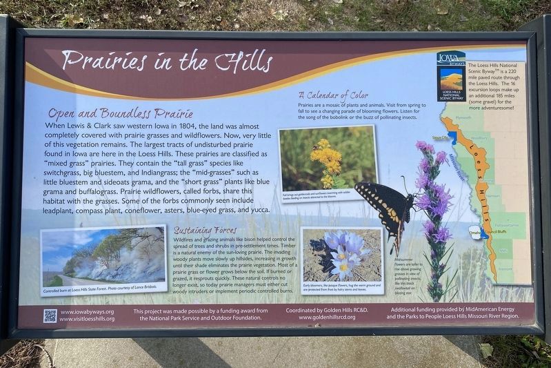
Open and Boundless Prairie
When Lewis & Clark saw western Iowa in 1804, the land was almost completely covered with prairie grasses and wildflowers. Now, very little of this vegetation remains. The largest tracts of undisturbed prairie found in Iowa are here in the Loess Hills. These prairies are classified as "mixed grass" prairies. They contain the "tall grass" species like switchgrass, big bluestem, and Indiangrass; the "mid-grasses" such as little bluestem and sideoats grama, and the "short grass" plants like blue grama and buffalograss. Prairie wildflowers, called forbs, share this habitat with the grasses. Some of the forbs commonly seen include leadplant, compass plant, coneflower, asters, blue-eyed grass, and yucca.
Controlled burn at Loess Hills State Forest. Photo courtesy of Lance Brisbois.
Sustaining Forces
Wildfires and grazing animals like bison helped control the spread of trees and shrubs in pre-settlement times. Timber is a natural enemy of the sun-loving prairie. The invading woody plants move slowly up hillsides, increasing in growth until their shade eliminates the prairie vegetation. Most of a prairie grass or flower grows below the soil. If burned or grazed, it resprouts quickly. These natural controls no longer exist, so today prairie managers must either cut woody intruders or implement periodic controlled burns.
A Calendar of Color
Prairies are a mosaic of plants and animals. Visit from spring to fall to see a changing parade of blooming flowers. Listen for the song of the bobolink or the buzz of pollinating insects.
Fall brings out goldenrods and sunflowers swarming with soldier beetles feeding on insects attracted to the blooms.
Early bloomers, like pasque flowers, hug the warm ground an are protected from frost by hairy stems and leaves.
Mid-summer flowers are taller to rise above growing grasses in view of pollinating insects, like this black swallowtail on blazing star.
The Loess Hills National Scenic Byway™ is a 220 mile paved route through the Loess Hills. The 16 excursion loops make up an additional 185 miles (some gravel) for the more adventuresome!
Erected by the National Park Service and Outdoor Foundation, coordinated by Golden Hills RC&D; additional funding provided by MidAmerican Energy and the Parks to People Loess Hills Missouri River Region.
Topics. This historical marker is listed in these topic lists: Environment • Exploration. A significant historical year for this entry is 1804.
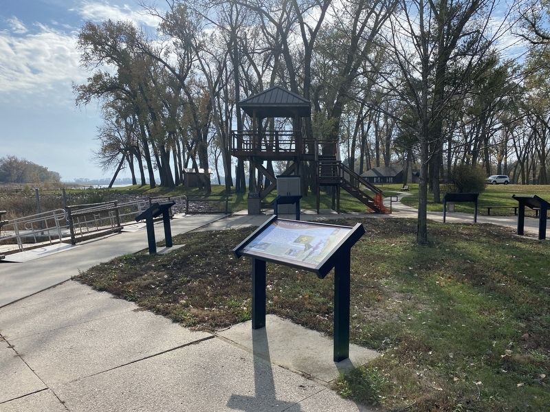
Location. 42° 2.588′ N, 96° 9.714′ W. Marker is near Onawa, Iowa, in Monona County. It is in Lincoln Township. Marker can be reached from Park Loop, ¾ mile north of 225th Street, on the right when traveling north. Located in Lewis and Clark State Park. Touch for map. Marker is at or near this postal address: 21914 Park Loop, Onawa IA 51040, United States of America. Touch for directions.
Other nearby markers. At least 8 other markers are within 4 miles of this marker, measured as the crow flies. "Coupe A Jarcke" (here, next to this marker); Preparation Valley (here, next to this marker); Visiting Blackbird's Grave (a few steps from this marker); Open and Boundless Prairie (a few steps from this marker); The Lewis & Clark Expedition (a few steps from this marker); A River Changed (about 700 feet away, measured in a direct line); Second Camping Ground in Monona County (about 800 feet away); Onawa Freedom Rock Veterans Memorial (approx. 3.2 miles away). Touch for a list and map of all markers in Onawa.
Credits. This page was last revised on November 16, 2023. It was originally submitted on November 16, 2023. This page has been viewed 40 times since then and 9 times this year. Photos: 1, 2, 3. submitted on November 16, 2023.


