West Beach in Santa Barbara in Santa Barbara County, California — The American West (Pacific Coastal)
Bridge MP 36729 Santa Barbara Subdivision

Photographed by Craig Baker, November 10, 2023
1. Bridge Marker
Topics. This historical marker is listed in this topic list: Railroads & Streetcars. A significant historical year for this entry is 1904.
Location. 34° 24.778′ N, 119° 41.682′ W. Marker is in Santa Barbara, California, in Santa Barbara County. It is in West Beach. It can be reached from Montecito Street just east of the railroad tracks. Located at the west end of the railroad station parking lot. Touch for map. Marker is at or near this postal address: 225 Chapala St, Santa Barbara CA 93101, United States of America. Touch for directions.

Regionally, this marker
this page online
Other nearby markers. At least 8 other markers are within walking distance of this marker: El Capitán Portolá (within shouting distance of this marker); Moreton Bay Fig Tree (about 300 feet away, measured in a direct line); Private Railcar Spurs (about 400 feet away); Santa Barbara Railroad Station (about 800 feet away); Trades Union Building (approx. 0.2 miles away); Burton Mound (approx. 0.2 miles away); Fly To-Day (approx. ¼ mile away); Burton’s Mound (approx. ¼ mile away). Touch for a list and map of all markers in Santa Barbara.
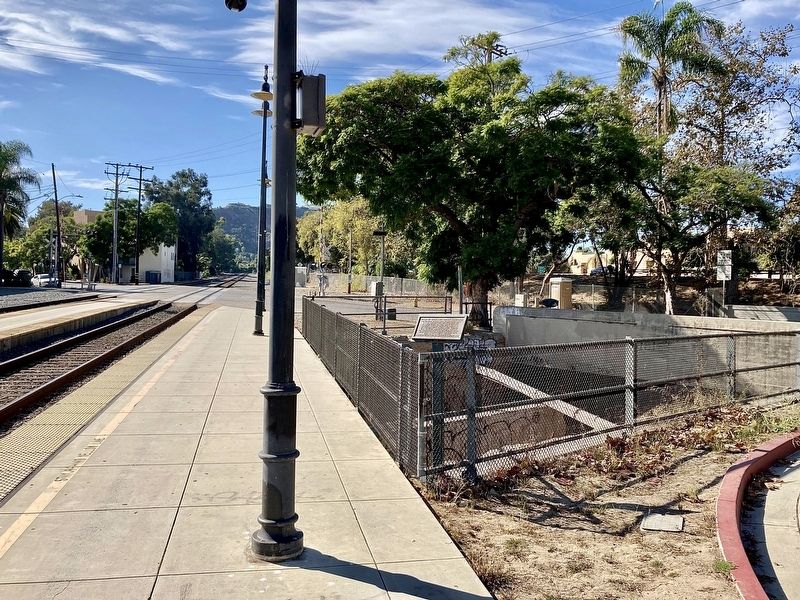
Photographed by Craig Baker, November 10, 2023
2. Bridge and Marker
Credits. This page was last revised on November 16, 2023. It was originally submitted on November 16, 2023, by Craig Baker of Sylmar, California. This page has been viewed 196 times since then and 21 times this year. Photos: 1, 2. submitted on November 16, 2023, by Craig Baker of Sylmar, California.
