Jekerkwartier in Maastricht, Limburg, Netherlands — Northwestern Europe
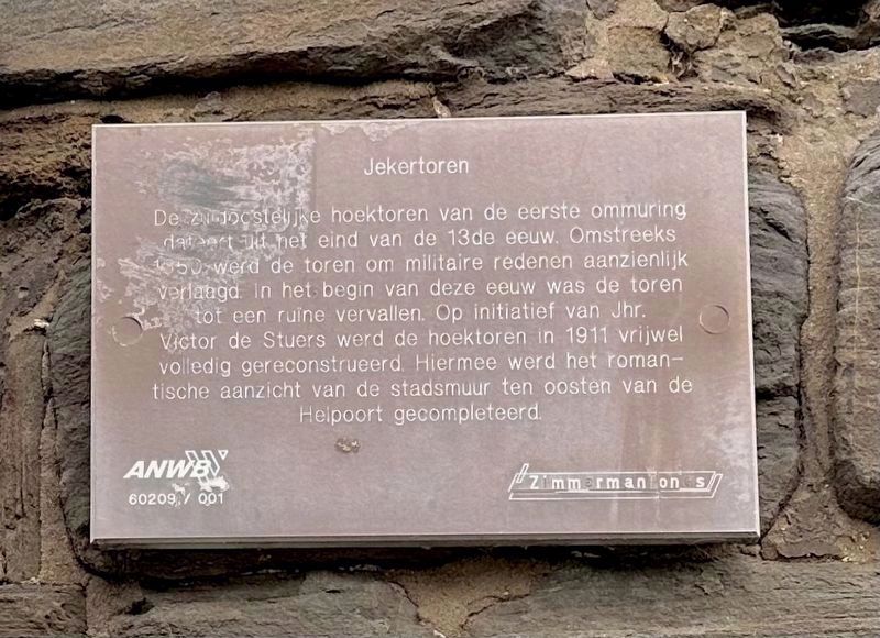
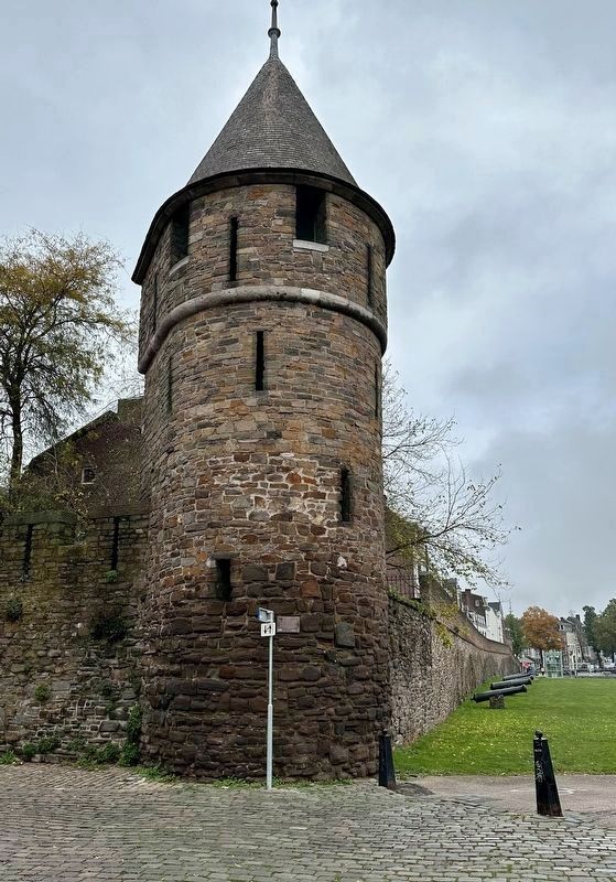
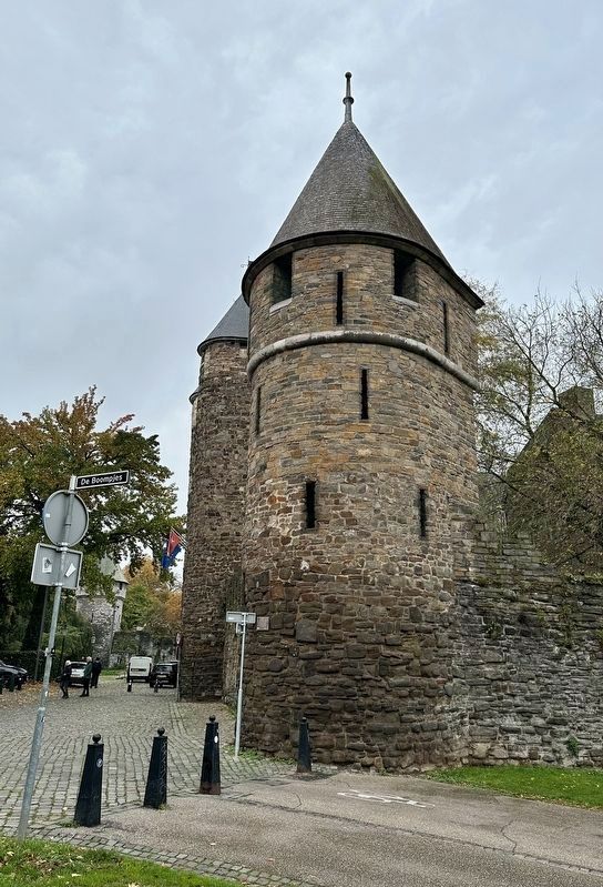
Jekertoren / Jeker Tower
The southeast corner tower of the first wall is dated to the end of the 13th century. About 1550 the tower was for military reasons lowered considerably . At the beginning of the 20th century the tower had fallen into ruins. In 1911, on the initiative of Lord Victor de Stuers, the corner tower in 1911 was completely reconstructed, thus changing the romantic view of the city wall to the east of the Hell Gate on its completion.
Erected by ANWB, VVV, Zimmermanfonds.
Topics. This historical marker is listed in this topic list: Forts and Castles. A significant historical year for this entry is 1550.
Location. 50° 50.732′ N, 5° 41.689′ E. Marker is in Maastricht, Limburg. It is in Jekerkwartier. Marker is at the intersection of Helpoort and De Boompjes, on the left when traveling east on Helpoort. Touch for map. Marker is in this post office area: Maastricht, Limburg 6211 HJ, Netherlands. Touch for directions.
Other nearby markers. At least 8 other markers are within walking distance of this marker. Papiermolen ‘De Ancker’ / “The Anchor” Paper Mill (a few steps from this marker); Stadsommuring, Poorten en Torens / City Walls, Gates and Towers I (within shouting distance of this marker); Helpoort / Hell Gate (within shouting distance of this marker); Waterpoort Achter de Minderbroeders / “Behind the Franciscans” Water Gate (within shouting distance of this marker); Poort Waerachtig / “Waerachtig” Gate (about 120 meters away, measured in a direct line); Faliezustersklooster / Sisters of the Veil Convent (about 120 meters away); Non Sum Qualis Eram (about 150 meters away); Franciscanen- of Minderbroederskerk / Franciscan or “Little Brothers” Church (about 150 meters away). Touch for a list and map of all markers in Maastricht.
Also see . . . Jekertoren (Wikipedia, in Dutch).
Excerpt (in translation): The Jeker Tower, formerly also called Rondeel Tower or Maaspunt Tower, is a former rampart tower in the Dutch city of Maastricht. The tower was the southeast corner tower of the first medieval(Submitted on November 16, 2023.)city wall and is located on the south side of the Onze-Lieve-Vrouwewal, where it bends to the west. The original gate dated from the 13th century, but was renovated several times over the centuries.
The Jekertoren or Maaspunttoren formed the hinge gate between the southern and western city walls for almost three centuries. The tower was located near the Gate of Hell…. After the completion of the second medieval city wall, the tower continued to be used, as there was hardly any room along the Meuse for an expansion of the enceinte (fortress belt) and the Liège territory of Saint Peter began to the south of the tower. Because fighting techniques continued to develop, it was necessary at the end of the 15th century to further strengthen the city walls with strongholds. At the Jekertoren, two roundels were constructed around the so-called Nieuwstad: Haet ende Nijt and De Drie Duiven (later called De Vijf Koppen). As a result, the Jeker Tower, which was usually referred to as Rondeel Tower during this period, lost its strategic importance. Around 1550, the Jeker Tower was lowered and filled with earth, so that the tower could be used as a gun platform.
Credits. This page was last revised on December 31, 2023. It was originally submitted on November 16, 2023, by Andrew Ruppenstein of Lamorinda, California. This page has been viewed 43 times since then and 7 times this year. Photos: 1, 2, 3, 4. submitted on November 16, 2023, by Andrew Ruppenstein of Lamorinda, California.


