Port Dover in Norfolk County, Ontario — Central Canada (North America)
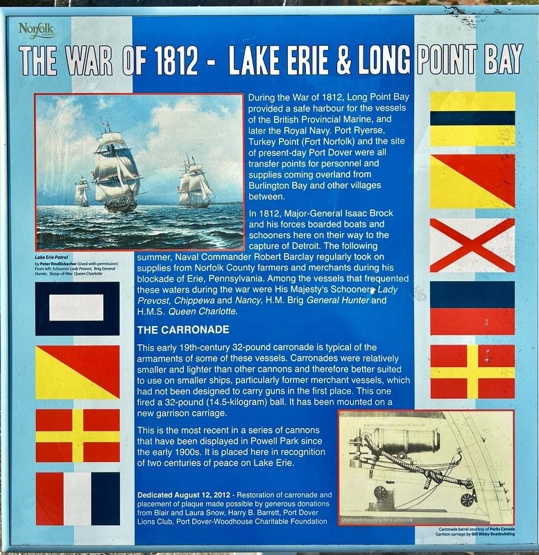
The War of 1812 - Lake Erie & Long Point Bay
During the War of 1812, Long Point Bay provided a safe harbour for the vessels of the British Provincial Marine, and later the Royal Navy. Port Ryerse, Turkey Point (Fort Norfolk) and the site of present-day Port Dover were all transfer points for personnel and supplies coming overland from Burlington Bay and other villages between.
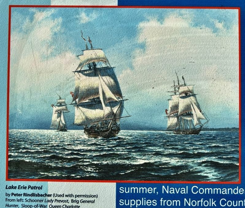
In 1812, Major-General Isaac Brock and his forces boarded boats and schooners here on their way to the capture of Detroit. The following summer, Naval Commander Robert Barclay regularly took on supplies from Norfolk County farmers and merchants during his blockade of Erie, Pennsylvania. Among the vessels that frequented these waters during the war were His Majesty's Schooner Lady Prevost, Chippewa and Nancy, H.M. Brig General Hunter and H.M.S. Queen Charlotte.
The Carronade
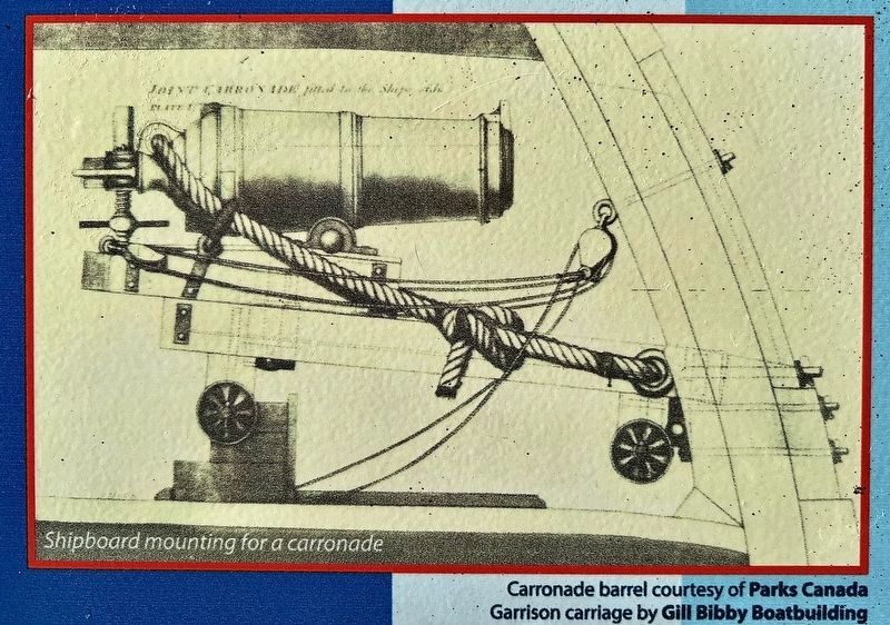
This early 19th-century 32-pound carronade is typical of the armaments of some of these vessels. Carronades were relatively smaller and lighter than other cannons and therefore better suited to use on smaller ships, particularly former merchant vessels, which had not been designed to carry guns in the first place. This one fired a 32-pound (14.5-kilogram) ball. It has been mounted on a new garrison carriage.
This is the most recent in a series of cannons that have been displayed in Powell Park since the early 1900s. It is placed here in recognition of two centuries of peace on Lake Erie.
Dedicated August 12, 2012 - Restoration of carronade and placement of plaque made possible by generous donations from Blair and Laura Snow, Harry B. Barrett, Port Dover Lions Club, Port Dover-Woodhouse Charitable Foundation
Erected 2012 by Norfolk County.
Topics. This historical marker is listed in these topic lists: War of 1812 • Waterways & Vessels. A significant historical year for this entry is 1812.
Location. 42° 47.191′ N, 80° 12.173′ W. Marker is in Port Dover, Ontario, in Norfolk County. Marker is at the intersection of Main Steet and Market Street East, on the right when traveling west on Main Steet. The marker is in Powell Park. Touch for map. Marker is in this post office area: Port Dover ON N0A 1N0, Canada. Touch for directions.
Other nearby markers. At least 8 other markers are within walking distance of this marker. War Memorial (a few steps from this marker); Powell Park (a few steps from this marker); Port Dover (a few steps from this marker); War of 1812 (within shouting distance of this marker); The Norfolk Tavern (about 180 meters away, measured in a direct line); The Summer Garden (approx. 0.4 kilometers away); Kahlenberg Engine (approx. 0.4 kilometers away); My Kahlenberg Dream - Harry B. Barrett (approx. 0.4 kilometers away). Touch for a list and map of all markers in Port Dover.
Also see . . . Wikipedia - Raid on Port Dover.
The Raid on Port Dover was an episode during the War of 1812. American troops crossed Lake Erie to capture or destroy stocks of grain and destroy mills at Port Dover, Ontario, which were used to provide flour for British troops stationed on the Niagara Peninsula.(Submitted on November 17, 2023, by Tim Boyd of Hamilton, Ontario.)
Credits. This page was last revised on November 23, 2023. It was originally submitted on November 17, 2023, by Tim Boyd of Hamilton, Ontario. This page has been viewed 85 times since then and 26 times this year. Photos: 1, 2, 3, 4. submitted on November 17, 2023, by Tim Boyd of Hamilton, Ontario. • Andrew Ruppenstein was the editor who published this page.


