Port Dover in Norfolk County, Ontario — Central Canada (North America)
Powell Park
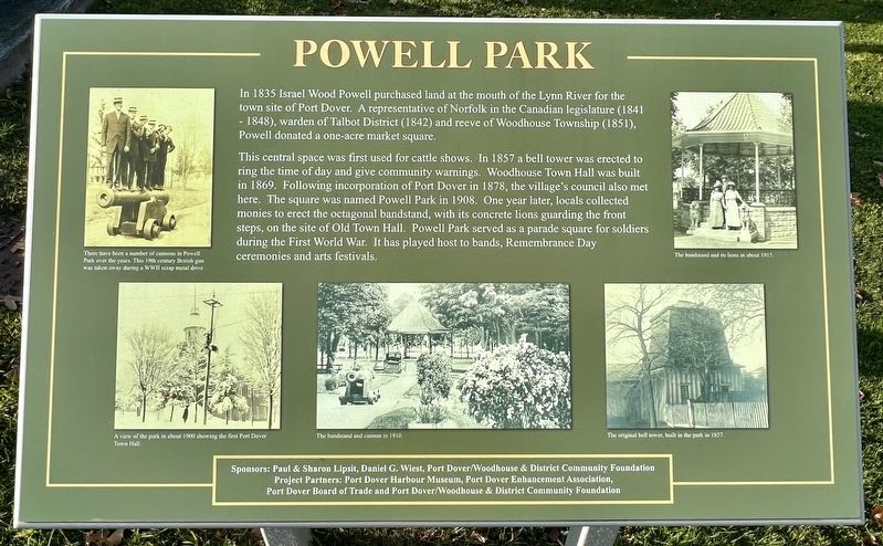
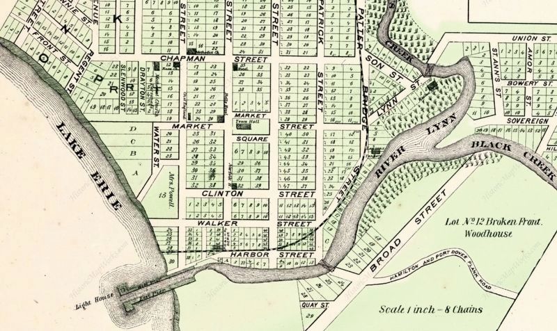
In 1835 Israel Wood Powell purchased land at the mouth of the Lynn River for the town site of Port Dover. A representative of Norfolk in the Canadian legislature (1841 - 1848), warden of Talbot District (1842) and reeve of Woodhouse Township (1851), Powell donated a one-acre market square.
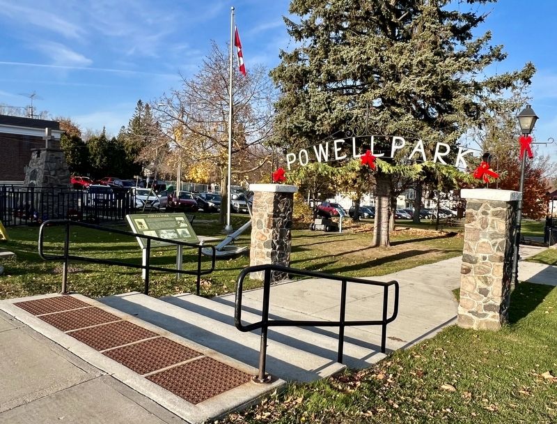
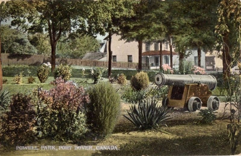
This central space was first used for cattle shows. In 1857 a bell tower was erected to ring the time of day and give community warnings. Woodhouse Town Hall was built in 1869. Following incorporation of Port Dover in 1878, the village's council also met here. The square was named Powell Park in 1908. One year later, locals collected monies to erect the octagonal bandstand, with its concrete lions guarding the front steps, on the site of Old Town Hall. Powell Park served as a parade square for soldiers during the First World War. It has played host to bands, Remembrance Day ceremonies and arts festivals.
Sponsors: Paul & Sharon Lipsit, Daniel G. Wiest, Port Dover/Woodhouse & District Community Foundation Project Partners: Port Dover Harbour Museum, Port Dover Enhancement Association, Port Dover Board of Trade and Port Dover/Woodhouse & District Community Foundation
Topics. This historical marker is listed in these topic lists: Parks & Recreational Areas • Settlements & Settlers. A significant historical year for this entry is 1835.
Location. 42° 47.182′ N, 80° 12.176′ W. Marker is in Port Dover, Ontario, in Norfolk County. Marker is at the intersection of Main Street and Market Street East, on the right when traveling west on Main Street. Touch for map. Touch for directions.
Other nearby markers. At least 8 other markers are within walking distance of this marker. War Memorial (a few steps from this marker); The War of 1812 - Lake Erie & Long Point Bay (a few steps from this marker); War of 1812 (a few steps from this marker); Port Dover (within shouting distance of this marker); The Norfolk Tavern (about 150 meters away, measured in a direct line); The Summer Garden (approx. 0.4 kilometers away); Kahlenberg Engine (approx. 0.4 kilometers away); My Kahlenberg Dream - Harry B. Barrett (approx. 0.4 kilometers away). Touch for a list and map of all markers in Port Dover.
Credits. This page was last revised on November 18, 2023. It was originally submitted on November 17, 2023, by Tim Boyd of Hamilton, Ontario. This page has been viewed 75 times since then and 47 times this year. Photos: 1, 2, 3. submitted on November 17, 2023, by Tim Boyd of Hamilton, Ontario. 4. submitted on November 18, 2023. • Andrew Ruppenstein was the editor who published this page.


