Port Dover in Norfolk County, Ontario — Central Canada (North America)
From Schooners to Steam Tugs
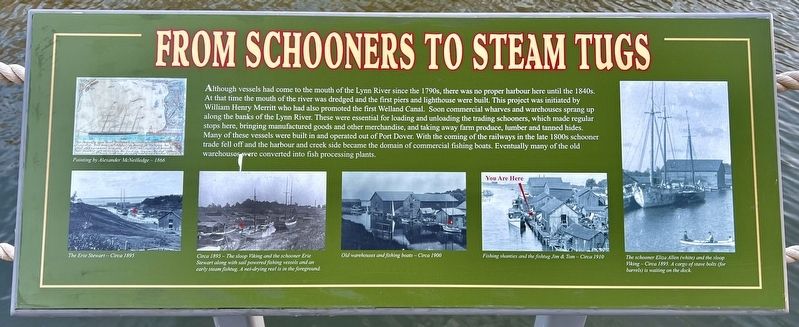
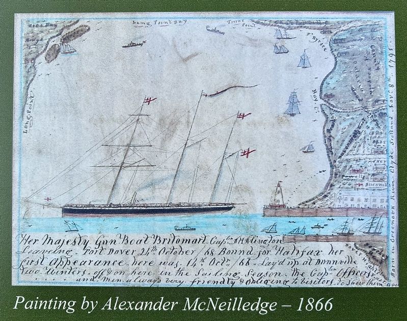
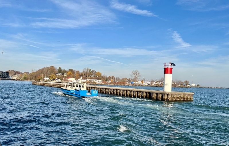
Although vessels had come to the mouth of the Lynn River since the 1790s, there was no proper harbour here until the 1840s. At that time the mouth of the river was dredged and the first piers and lighthouse were built, This project was initiated by William Henry Merritt who had also promoted the first Welland Canal. Soon commercial wharves and warehouses sprang up along the banks of the Lynn River. These were essential for loading and unloading the trading schooners, which made regular stops here, bringing manufactured goods and other merchandise, and taking away farm produce, lumber and tanned hides. Many of these vessels were built in and operated out of Port Dover. With the coming of the railways in the late 1800s schooner trade fell off and the harbour and creek side became the domain of commercial fishing boats. Eventually many of the old warehouses were converted into fish processing plants.
Topics. This historical marker is listed in these topic lists: Industry & Commerce • Waterways & Vessels.
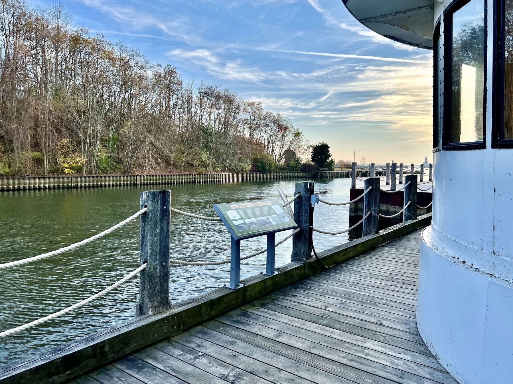
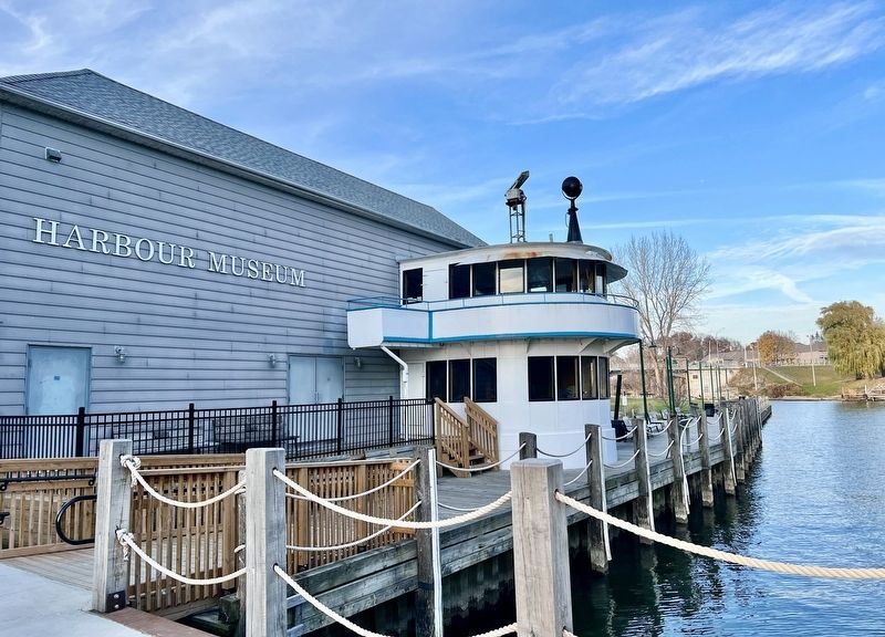
Location. 42° 47.082′ N, 80° 11.915′ W. Marker is in Port Dover, Ontario, in Norfolk County. Marker is at the intersection of Harbour Street and St. Andrew Street, on the right when traveling north on Harbour Street. The marker is behind the Port Dover Harbour Museum. Touch for map. Marker is in this post office area: Port Dover ON N0A 1N0, Canada. Touch for directions.
Other nearby markers. At least 8 other markers are within walking distance of this marker. “Midnight Herring” (a few steps from this marker); The Fishing Years (a few steps from this marker); Kahlenberg Engine (within shouting distance of this marker); My Kahlenberg Dream - Harry B. Barrett (within shouting distance of this marker); The Capture of Detroit / La Prise de Détroit (about 90 meters away, measured in a direct line); Cliff Site National Historic Site (about 240 meters away); The Norfolk Tavern (approx. 0.2 kilometers away); The Railways (approx. 0.3 kilometers away). Touch for a list and map of all markers in Port Dover.
Credits. This page was last revised on November 23, 2023. It was originally submitted on November 18, 2023, by Tim Boyd of Hamilton, Ontario. This page has been viewed 43 times since then and 3 times this year. Photos: 1, 2, 3, 4, 5. submitted on November 18, 2023, by Tim Boyd of Hamilton, Ontario. • Andrew Ruppenstein was the editor who published this page.
