
Rothsay in Wilkin County, Minnesota — The American Midwest (Upper Plains)
Booming Prairie Chicken
Photographed by Bruce InCharlotte, September 29, 2023
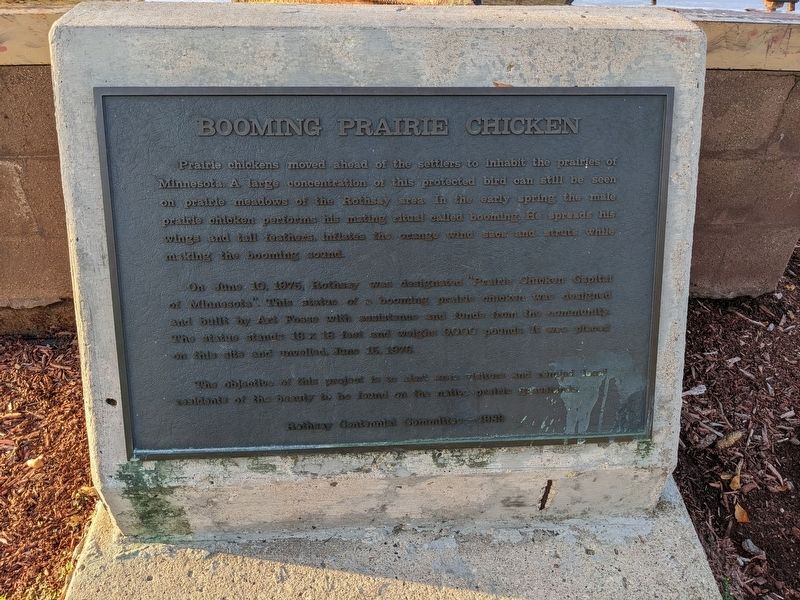
1. Booming Prairie Chicken Marker
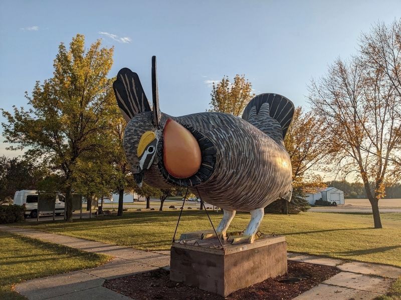
Rothsay is the Prairie Chicken capital of the world and that's only thanks to the concerted efforts to ensure that prairie and grassland have been preserved. These birds don't migrate and are quite territorial. I'll admit that I've never heard of a booming prairie chicken but now we both know something about them.
The monument at his feet reads, "Prairie chickens moved ahead of the settlers to inhabit the prairies of Minnesota. A large concentration of this protected bird can still be seen on prairie meadows of the Rothsay area. In the early sprint the male prairie chicken performs his mating ritual called booming. He spreads his wings and tail features, inflates the orange wind sacs and struts while making the booming sound.
"On June 10, 1975, Rothsay was designated 'Prairie Chicken Capital of Minnesota.' This statue of a booming prairie chicken was designed and built by Art Fosse with assistance and funds from the community. The statue stands 13 × 18 feet and weighs 9000 pounds. It was placed on this site and unveiled June 15, 1976.
"The objective of this project is to alert area visitors and remind local residents
this page online
There is parking here and a picnic table and several captions to provide more context.
Topics. This historical marker is listed in these topic lists: Agriculture • Animals. A significant historical date for this entry is June 10, 1975.
Location. 46° 28.884′ N, 96° 16.897′ W. Marker is in Rothsay, Minnesota, in Wilkin County. It is on Prairie Chicken Road north of Minnesota Route 52, on the left when traveling north. Touch for map. Marker is at or near this postal address: 221 1st St NW, Rothsay MN 56579, United States of America. Touch for directions.

Regionally, this marker is in the American Midwest, in the Corn Belt, on the prairies, on the Great Plains, and specifically on the Northern Plains. Globally, it is in North America, the Western Hemisphere, the Western World, and the Anglosphere. Historically, it finds itself in what was once Rupert’s Land, the territory of the Mississippian Culture, and the Louisiana Purchase.
Other nearby markers. At least 8 other markers are within 17 miles of this marker, measured as the crow flies: Pelican Rapids (approx. 11.2
Photographed by Bruce InCharlotte, September 29, 2023
2. Booming Prairie Chicken Marker
Photographed by Ian Lefkowitz, July 26, 2021
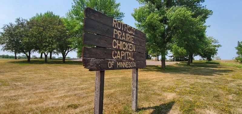
3. World's Largest Prairie Chicken
A modest sign proclaims Rothsay the "Prairie Chicken Capital of Minnesota."
Photographed by Ian Lefkowitz, July 26, 2021
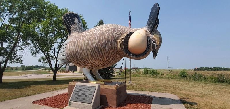
4. Booming Prairie Chicken Marker
The historical marker is located beneath the statue.
Credits. This page was last revised on April 24, 2025. It was originally submitted on November 19, 2023, by Bruce InCharlotte of Charlotte, North Carolina. This page has been viewed 512 times since then and 197 times this year. Photos: 1, 2. submitted on November 19, 2023, by Bruce InCharlotte of Charlotte, North Carolina. 3, 4. submitted on April 12, 2025, by Ian Lefkowitz of New York, New York. • J. Makali Bruton was the editor who published this page.
