Leesburg in Loudoun County, Virginia — The American South (Mid-Atlantic)
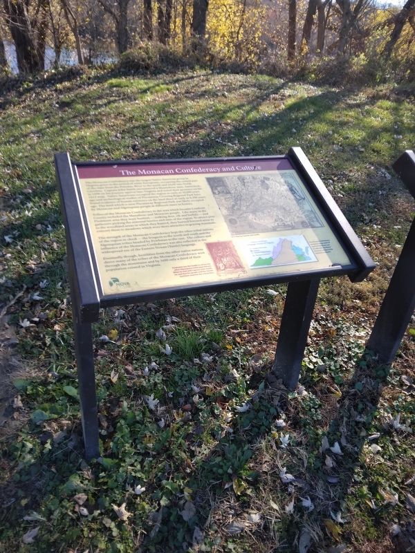
The Monacan Confederacy and Culture
The Monacan Confederacy was the largest Native American group in Virginia prior to the arrival of white Europeans, occupying the central part of the state from the Potomac River to the north and south into North Carolina. Captain John Smith encountered a Mannahoac man, Amorokeck in 1608 on his journey upriver into Virginia and noted their presence on his 1612 map. Native Americans occupied the region as early as 10,000 years ago and archaeological studies of Piscataway Crossing Regional Park have found evidence of human existence on the land there as early as 8,500 years ago. The land which is now Piscataway Crossing Regional Park was likely occupied by Monacan and Algonquian people at different times in history.
Tribes of the Monacan Confederacy in the area which became Loudoun County included the Manahoac and the Monacan people. Like many in the Piedmont area they were hunters - stalking deer, elk and buffalo - and gathers picking the seasonal berries and nuts of the region. To attract prey to the woodland areas which they hunted, they burned forested areas to convert them to meadows which were more attractive to grazing mammals.
The strength of the Monacan Confederacy kept the other tribal nations of the region in check - the Iroquois to the north and south and the Algonquian tribes headed by the Powhatan to the east. The culture and influence of the Monacan Confederacy was also reflected in the widespread use of the Eastern Siouan (Tutelo) language.
Eventually though, hostilities from the other native nations drive many of the tribes of the Monacan Confederacy west through the mountains and by 1680 only a third of their population existed in Virginia.
Erected by NOVA Parks.
Topics and series. This historical marker is listed in this topic list: Native Americans. In addition, it is included in the NOVA Parks series list. A significant historical year for this entry is 1608.
Location. 39° 11.25′ N, 77° 29′ W. Marker is in Leesburg, Virginia, in Loudoun County. Marker can be reached from Hibler Road (Route 656) one mile east of Harrison Hill Lane, on the right when traveling east. Marker is located on the grounds of Piscataway Crossing Regional Park on the right when facing Potomac River. Touch for map. Marker is at or near this postal address: 43575 Hibler Road, Leesburg VA 20176, United States of America. Touch for directions.
Other nearby markers. At least 8 other markers are within 3 miles of this marker, measured as the crow flies. Lee Crosses Into Maryland (a few steps from this marker); Early Crosses At White's Ford (a few steps from this marker); White's Ford (approx. half a mile away in Maryland); a different marker also named White's Ford (approx. 0.9 miles away in Maryland); a different marker also named White’s Ford (approx. 1.7 miles away in Maryland); Warren Historic Site (approx. 1.7 miles away in Maryland); Linden Farm (approx. 2 miles away in Maryland); Seneca Stone Barn (approx. 2.1 miles away in Maryland).
Credits. This page was last revised on November 19, 2023. It was originally submitted on November 19, 2023, by Mike McKeown of Baltimore, Maryland. This page has been viewed 57 times since then and 17 times this year. Photo 1. submitted on November 19, 2023, by Mike McKeown of Baltimore, Maryland. • Devry Becker Jones was the editor who published this page.
Editor’s want-list for this marker. A clear, close up photo of the marker. • Can you help?
