Presque Isle in Presque Isle County, Michigan — The American Midwest (Great Lakes)
L. M. Mason
— Great Lakes Maritime Heritage Trail —
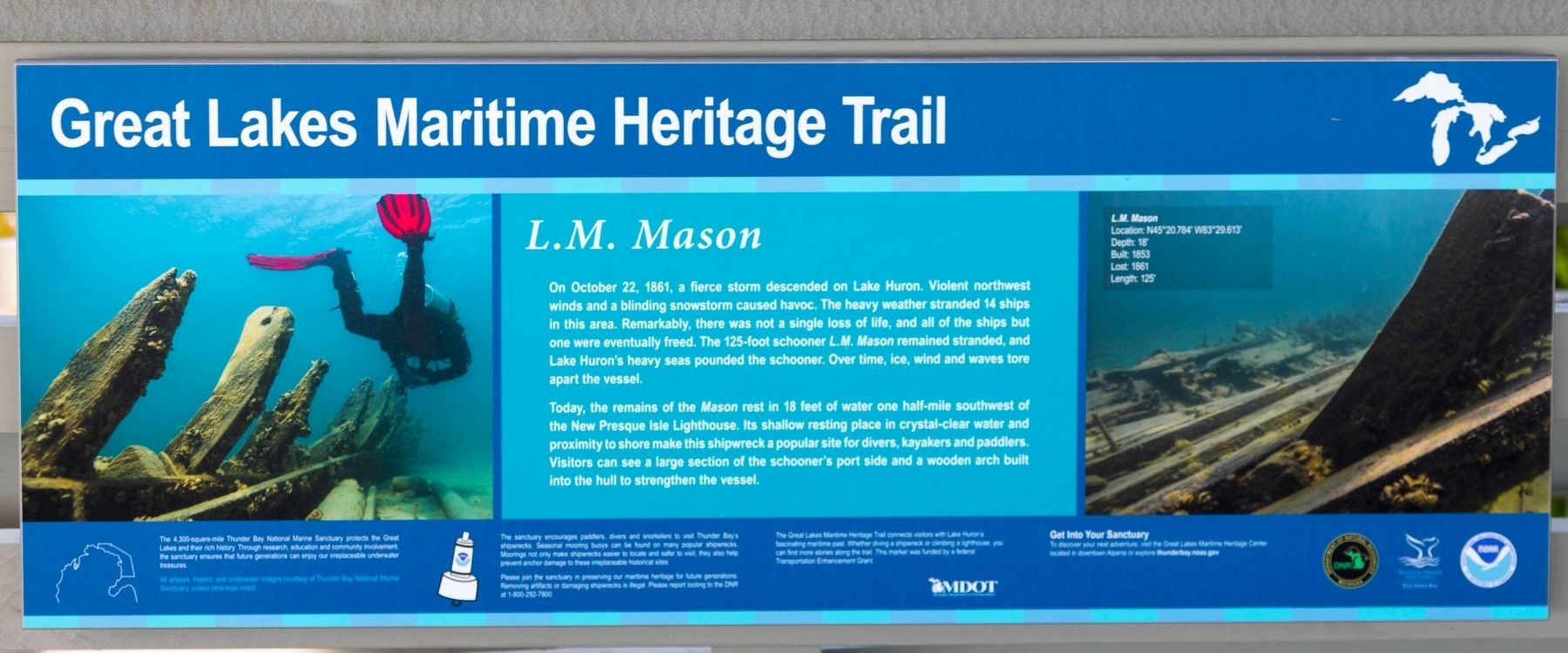
Today, the remains of the Mason rest in 18 feet of water one half-mile southwest of the New Presque Isle Lighthouse. Its shallow resting place in crystal-clear water and proximity to shore make this shipwreck a popular site for divers, kayakers and paddlers. Visitors can see a large section of the schooner’s port side and a wooden arch built into the hull to strengthen the vessel.
Erected by Great Lakes Maritime Heritage Trail.
Topics. This historical marker is listed in this topic list: Waterways & Vessels. A significant historical date for this entry is October 22, 1881.
Location. 45° 20.272′ N, 83° 29.432′ W. Marker is in Presque Isle, Michigan, in Presque Isle County. Marker can be reached from the intersection of East Grand Lake Road and Range Light Lane, on the right when traveling north. It is in the pavilion at the end of the footpath to Range Light Beach. Touch for map. Marker is at or near this postal address: 5827 E Grand Lake Rd, Presque Isle MI 49777, United States of America. Touch for directions.
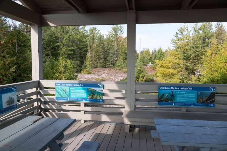
Other nearby markers. At least 8 other markers are within walking distance of this marker. Albany (here, next to this marker); Fame (here, next to this marker); Get Into Your Sanctuary (here, next to this marker); Presque Isle Front Range Light (about 300 feet away, measured in a direct line); Thunder Bay National Marine Sanctuary (approx. 0.4 miles away); Presque Isle History (approx. 0.4 miles away); Presque Isle Lighthouses (approx. 0.4 miles away); Old Presque Isle Lighthouse (approx. 0.6 miles away). Touch for a list and map of all markers in Presque Isle.
More about this marker. This interpretive panel is illustrated with two underwater photographs of the wreck. The photo on the right is captioned,
L.M. Mason — Location: N45° 20.784', W83° 29.613' • Depth: 18' • Built: 1853 • Lost: 1861 • Length: 125'
Additional keywords. L. M. Mason

Photographed By J. J. Prats, September 23, 2023
3. Range Light Beach Pavilion
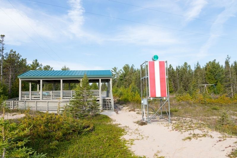
This view is from the beach and also shows the front range light with its red and white flag for daytime viewing. The rear light and flag is across the road on Range Light Lane. To learn more about range lights, see this Wikipedia article on their use in navigation.
Credits. This page was last revised on November 20, 2023. It was originally submitted on November 20, 2023, by J. J. Prats of Powell, Ohio. This page has been viewed 43 times since then and 4 times this year. Photos: 1, 2, 3. submitted on November 20, 2023, by J. J. Prats of Powell, Ohio.

