Near Adel in Dallas County, Iowa — The American Midwest (Upper Plains)
Ortonville
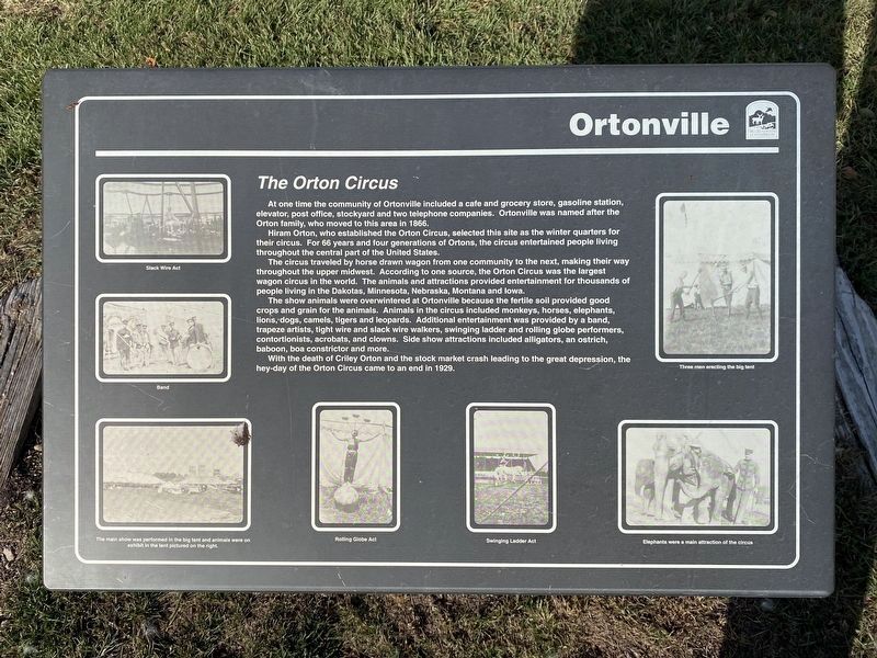
The Orton Circus
November 6, 2023
1. Ortonville Marker
Hiram Orton, who established the Orton Circus, selected this site as the winter quarters for their circus. For 66 years and four generations of Ortons, the circus entertained people living throughout the central part of the United States.
The circus traveled by horse drawn wagon from one community to the next, making their way throughout the upper midwest. According to one source, the Orton Circus was the largest wagon circus in the world. The animals and attractions provided entertainment for thousands of people living in the Dakotas, Minnesota, Nebraska, Montana and Iowa.
The show animals were overwintered at Ortonville because the fertile soil provided good crops and grain for the animals. Animals in the circus included monkeys, horses, elephants, lions, dogs, camels, tigers and leopards. Additional entertainment was provided by a band, trapeze artists, tight wire and slack wire walkers,
this page online
With the death of Criley Orton and the stock market crash leading to the great depression, the hey-day of the Orton Circus came to an end in 1929.
Photo captions (clockwise):
Three men erecting the big tent
Elephants were a main attraction of the circus
Swinging Ladder Act
Rolling Globe Act
The main show was performed in the big tent and animals were on exhibit in the tent pictured on the right.
Band
Slack Wire Act
Erected by Dallas County Conservation.
Topics. This historical marker is listed in these topic lists: Entertainment • Industry & Commerce • Settlements & Settlers. A significant historical year for this entry is 1866.
Location. 41° 36.909′ N, 93° 57.582′ W. Marker is near Adel, Iowa, in Dallas County. It is on R Avenue north of Highway 6 (U.S. 6), on the right when traveling north. Touch for map. Marker is at or near this postal address: 28972 R Ave, Adel IA 50003, United States of America. Touch for directions.

Regionally,
November 6, 2023
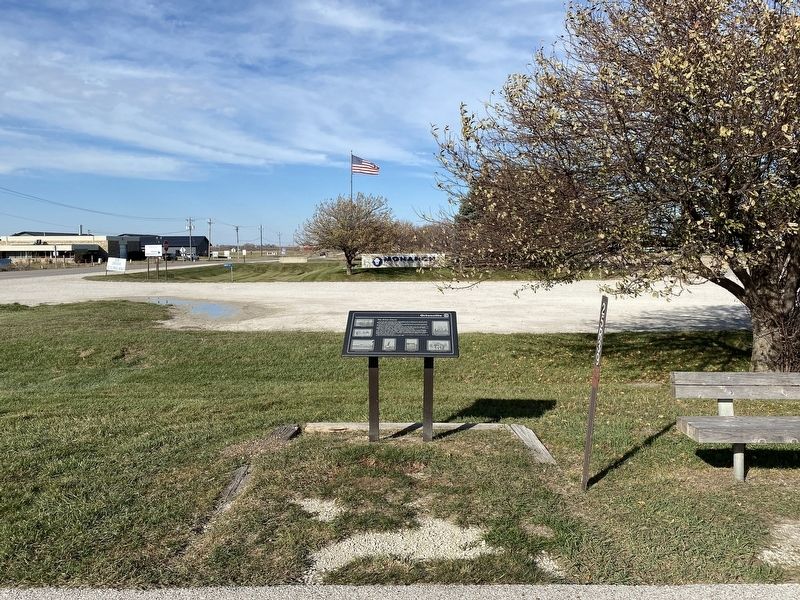
2. Ortonville Marker
Other nearby markers. At least 8 other markers are within 10 miles of this marker, measured as the crow flies: Dallas County (approx. ¾ mile away); Welcome to Waukee (approx. 3.6 miles away); Panther Creek Cemetery (approx. 7.3 miles away); Ronald Reagan (approx. 8.6 miles away); Abraham Lincoln (approx. 8.6 miles away); Thomas Jefferson (approx. 8.6 miles away); George Washington (approx. 8.6 miles away); Panther (approx. 9.1 miles away). Touch for a list and map of all markers in Adel.
Another marker is no longer nearby. Historic Des Moines / Noted Des Moines Residents (was approx. 6½ miles away but has been permanently removed).
November 6, 2023
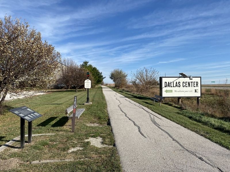
3. Ortonville Marker, from the west
November 6, 2023
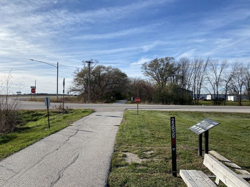
4. Ortonville Marker, from the east
Credits. This page was last revised on December 4, 2024. It was originally submitted on November 21, 2023. This page has been viewed 1,865 times since then and 299 times this year. Photos: 1, 2, 3, 4. submitted on November 21, 2023.
