Redfield in Dallas County, Iowa — The American Midwest (Upper Plains)
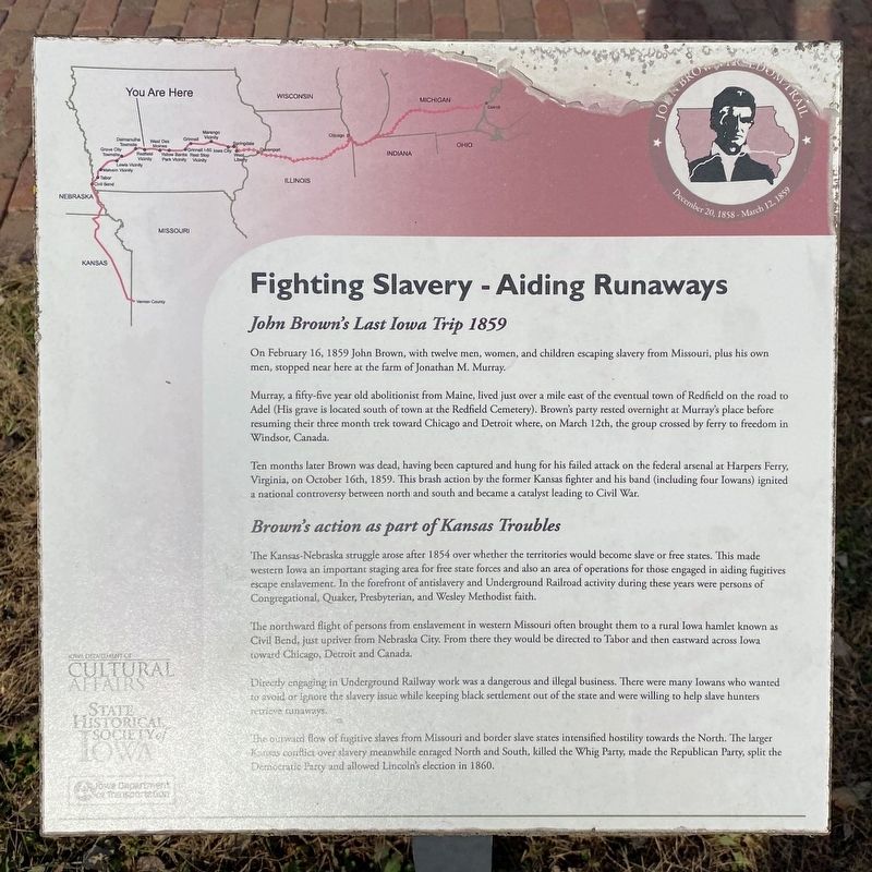
Fighting Slavery - Aiding Runaways
John Brown Freedom Trail
— December 20, 1858 - March 12, 1859 —
John Brown's Last Iowa Trip 1859
On February 16, 1859 John Brown, with twelve men, women, and children escaping slavery from Missouri, plus his own men, stopped near here at the farm of Jonathan M. Murray.
Murray, a fifty-five year old abolitionist from Maine, lived just over a mile east of the eventual town of Redfield on the road to Adel (His grave is located south of town at the Redfield Cemetery). Brown's party rested overnight at Murray's place before resuming their three month trek toward Chicago and Detroit where, on March 12th, the group crossed by ferry to freedom in Windsor, Canada.
Ten months later Brown was dead, having been captured and hung for his failed attack on the federal arsenal at Harpers Ferry, Virginia, on October 16th, 1859. This brash action by the former Kansas fighter and his band (including four Iowans) ignited a national controversy between north and south and became a catalyst leading to Civil War.
Brown's action as part of Kansas Troubles
The Kansas-Nebraska struggle arose after 1854 over whether the territories would become slave or free states. This made western Iowa an important staging area for free state forces and also an area of operations for those engaged in aiding fugitives escape enslavement. In the forefront of antislavery and Underground Railroad activity during these years were persons of Congregational, Quaker, Presbyterian, and Wesley Methodist faith.
The northward flight of persons from enslavement in western Missouri often brought them to a rural Iowa hamlet known as Civil Bend, just upriver from Nebraska City. From there they would be directed to Tabor and then eastward across Iowa toward Chicago, Detroit and Canada.
Directly engaging in Underground Railway work was a dangerous and illegal business. There were many Iowans who wanted to avoid or ignore the slavery issue while keeping black settlement out of the state and were willing to help slave hunters retrieve runaways.
The outward flow of fugitive slaves from Missouri and border slave states intensified hostility towards the North. The larger Kansas conflict over slavery meanwhile enraged North and South, killed the Whig Party, made the Republican Party, split the Democratic Party and allowed Lincoln's election in 1860.
Erected by Iowa Department of Cultural Affairs, State Historical Society of Iowa, and Iowa Department of Transportation.
Topics. This historical marker is listed in these topic lists: Abolition & Underground RR • African Americans. A significant historical date for this entry is February 16, 1859.
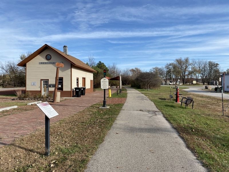
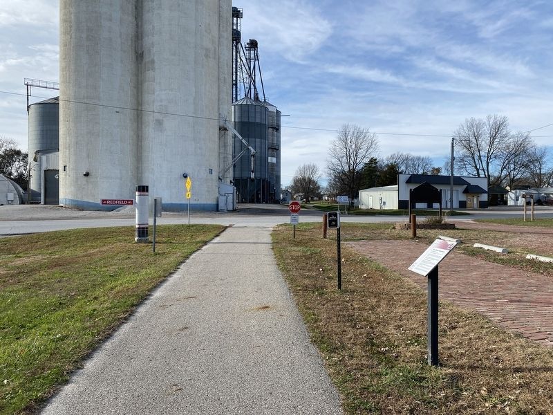
Location. 41° 35.263′ N, 94° 11.746′ W. Marker is in Redfield, Iowa, in Dallas County. Marker is on First Street north of Omaha Street, on the right when traveling north. Located along the Raccoon River Valley Trail, at the Redfield trailhead. Touch for map. Marker is at or near this postal address: 624 1st St, Redfield IA 50233, United States of America. Touch for directions.
Other nearby markers. At least 8 other markers are within 16 miles of this marker, measured as the crow flies. Co. H. 39th Iowa Volunteer Infantry (approx. 0.2 miles away); Panther Creek Cemetery (approx. 5 miles away); Panther (approx. 8.4 miles away); First National Bank (approx. 8.6 miles away); Welcome to Panora (approx. 11 miles away); Western Skies Scenic Byway (approx. 11.3 miles away); North River Schoolhouse (approx. 15.1 miles away); Hogback Covered Bridge (approx. 15.9 miles away).
Credits. This page was last revised on November 22, 2023. It was originally submitted on November 21, 2023. This page has been viewed 63 times since then and 19 times this year. Photos: 1, 2, 3. submitted on November 21, 2023.


