
Taos in Taos County, New Mexico — The American Mountains (Southwest)
Taos Plaza
Historic District
Photographed by J. Makali Bruton, October 22, 2023
1. Taos Plaza Marker
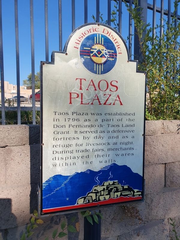
Taos Plaza was established in 1796 as a part of the Don Fernando de Taos Land Grant. It served as a defensive fortress by day and as a refuge for livestock at night. During trade fairs, merchants displayed their wares within the walls.
Topics. This historical marker is listed in this topic list: Settlements & Settlers. A significant historical year for this entry is 1796.
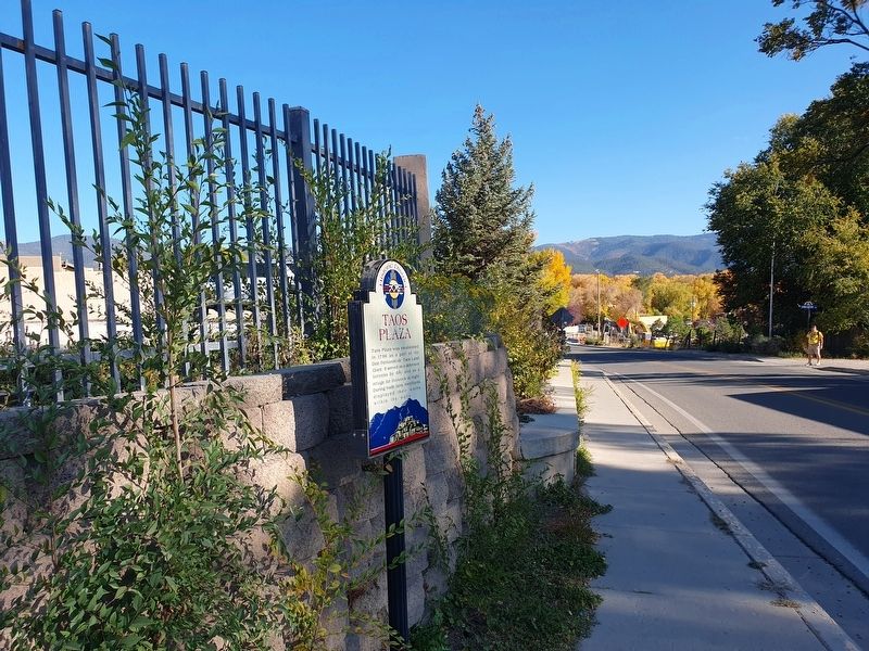
Location. 36° 24.374′ N, 105° 34.51′ W. Marker is in Taos, New Mexico, in Taos County. It is at the intersection of New Mexico Route 240 and Plaza Street, on the right when traveling north on New Mexico Route 240. Touch for map. Marker is in this post office area: Taos NM 87571, United States of America. Touch for directions.

Regionally, this marker is in Northern New Mexico. It is also in the American Southwest and in the Mountain West. Globally, it is in North America, the Rocky Mountains, the Western Hemisphere, the Western World, and the Anglosphere. Historically, it finds itself in what was once New Spain and also the Republic of Texas.
Other nearby markers. At least 8 other markers are within walking distance of this marker: Ledoux Street
this page online
Photographed by J. Makali Bruton, October 22, 2023
2. Taos Plaza Marker
Credits. This page was last revised on November 22, 2023. It was originally submitted on November 22, 2023, by J. Makali Bruton of Washington, District of Columbia. This page has been viewed 161 times since then and 10 times this year. Photos: 1, 2. submitted on November 22, 2023, by J. Makali Bruton of Washington, District of Columbia.
