Comanche Canyon Ranch near Austin in Travis County, Texas — The American South (West South Central)
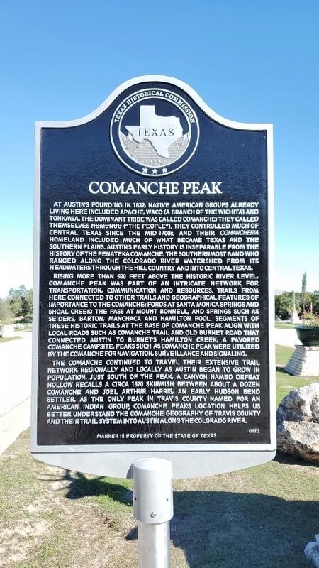
Comanche Peak
Rising more than 500 feet above the historic river level, Comanche Peak was part of an intricate network for transportation, communication and resources. Trails from here connected to other trails and geographical features of importance to the Comanche: fords at Santa Monica Springs and Shoal Creek; the pass at Mount Bonnell, and springs such as Seiders, Barton, Manchaca and Hamilton Pool. Segments of these historic trails at the base of Comanche Peak align with local roads such as Comanche Trail and Old Burnet Road that connected Austin to Burnetís Hamilton Creek, a favored Comanche campsite. Peaks such as Comanche Peak were utilized by the Comanche for navigation, surveillance and signaling.
The Comanche continued to travel their extensive trail network regionally and locally as Austin began to grow in population. Just south of the peak, a canyon named Defeat Hollow recalls a circa 1870 skirmish between about a dozen Comanche and Joel Arthur Harris, an early Hudson Bend settler. As the only peak in Travis County named for an American Indian group, Comanche Peakís location helps us better understand the Comanche geography of Travis County and their trail system into Austin along the Colorado river.
Erected 2021 by Texas Historical Commission. (Marker Number 23385.)
Topics. This historical marker is listed in this topic list: Native Americans. A significant historical year for this entry is 1839.
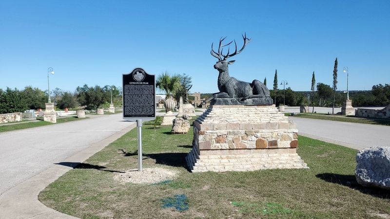
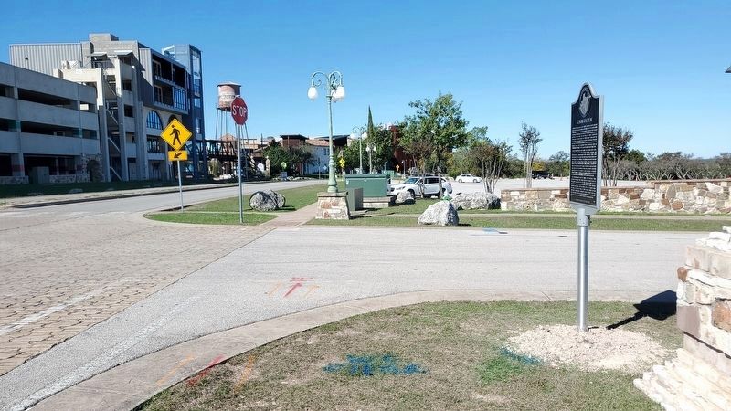
Location. 30° 24.287′ N, 97° 52.328′ W. Marker is near Austin, Texas, in Travis County. It is in Comanche Canyon Ranch. Marker is at the intersection of Comanche Trail and Monte Castillo Parkway, on the right when traveling west on Comanche Trail. The marker is located near the Oasis Restaurant on Lake Travis at the intersection of Comanche Trail and Monte Castillo Pkwy. Touch for map. Marker is at or near this postal address: 6550 Comanche Trail, Austin TX 78726, United States of America. Touch for directions.
Other nearby markers. At least 8 other markers are within 6 miles of this marker, measured as the crow flies. Andersonís Mill (approx. 2.1 miles away); Hudson Bend (approx. 3.3 miles away); John M. King Log House (approx. 3.9 miles away); Cypress School (approx. 4.7 miles away); Native Americans at Bull Creek (approx. 5.8 miles away); Walden Mill at Bull Creek (approx. 5.8 miles away); Cox Springs School (approx. 5.9 miles away); Jolly Cemetery (approx. 6.1 miles away). Touch for a list and map of all markers in Austin.
Credits. This page was last revised on November 22, 2023. It was originally submitted on November 22, 2023, by Richard Denney of Austin, Texas. This page has been viewed 462 times since then and 183 times this year. Photos: 1, 2, 3. submitted on November 22, 2023, by Richard Denney of Austin, Texas. • James Hulse was the editor who published this page.


