
Raynolds Addition in Albuquerque in Bernalillo County, New Mexico — The American Mountains (Southwest)
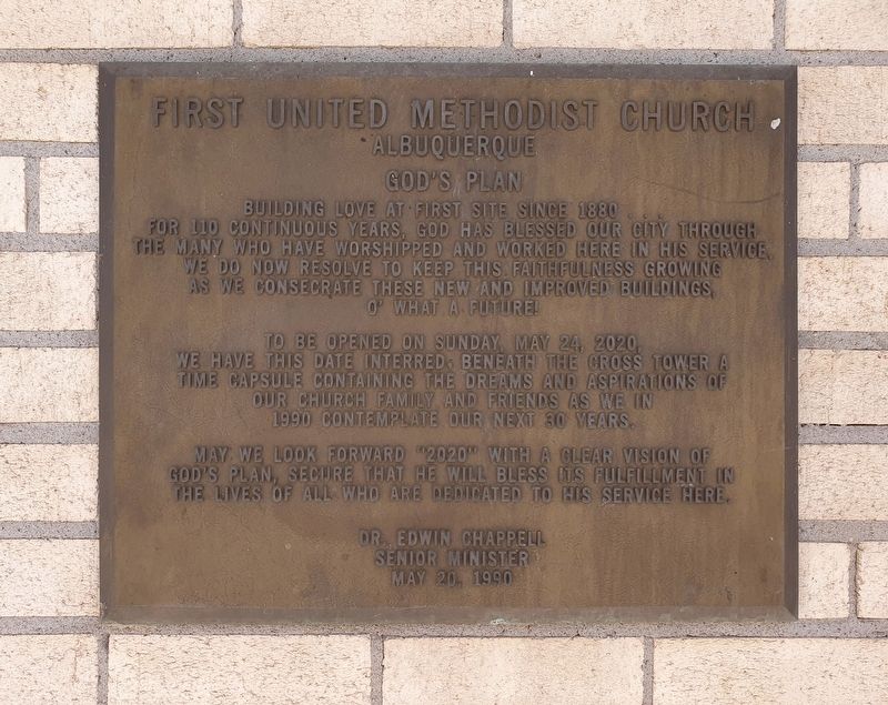
First United Methodist Church Albuquerque
Photographed by J. Makali Bruton, October 23, 2023
1. First United Methodist Church Marker
God's plan
Building love at first site since 1880...
For 110 continuous years, God has blessed our city through the many who have worshipped and worked here in his service. We do now resolve to keep this faithfulness growing as we consecrate these new and improved buildings.
O what a future!
To be opened on Sunday, May 24, 2020, we have this date interred beneath the cross tower a time capsule containing the dreams and aspirations of our church family and friends as we in 1990 contemplate our next 30 years.
May we look forward "2020" with a clear vision of God's plan, secure that he will bless its fulfillment in the lives of all who are dedicated to his service here.
Dr. Edwin Chappell
Senior minister
May 20, 1990
Erected 1990.
Topics and series. This historical marker is listed in this topic list: Religion & Religious Structures. In addition, it is included in the Time Capsules series list. A significant historical date for this entry is May 24, 2020.
Location. 35° 4.865′ N, 106° 39.115′ W. Marker is in Albuquerque, New Mexico, in Bernalillo County. It is in Raynolds Addition. It can be reached from 4th Street Southwest
this page online

Regionally, this marker is in the American Southwest. Globally, it is in North America, the Western Hemisphere, the Western World, and the Anglosphere. Historically, it finds itself in what was once New Spain and also the Republic of Texas.
Other nearby markers. At least 8 other markers are within walking distance of this marker: St. John's Cathedral (about 500 feet away, measured in a direct line); The Coal Avenue Viaduct (about 600 feet away); The Orpheum Theater (about 700 feet away); The Simms Building (approx. 0.2 miles away); Hope Building (approx. 0.2 miles away); Central Bank Building (approx. 0.2 miles away); Railroad (Central) Avenue (approx. ¼ mile away); Harvey Girls / Mary Elizabeth Jane Colter, 1869 - 1958 (approx. ¼ mile away). Touch for a list and map of all markers in Albuquerque.
Photographed by J. Makali Bruton, October 23, 2023
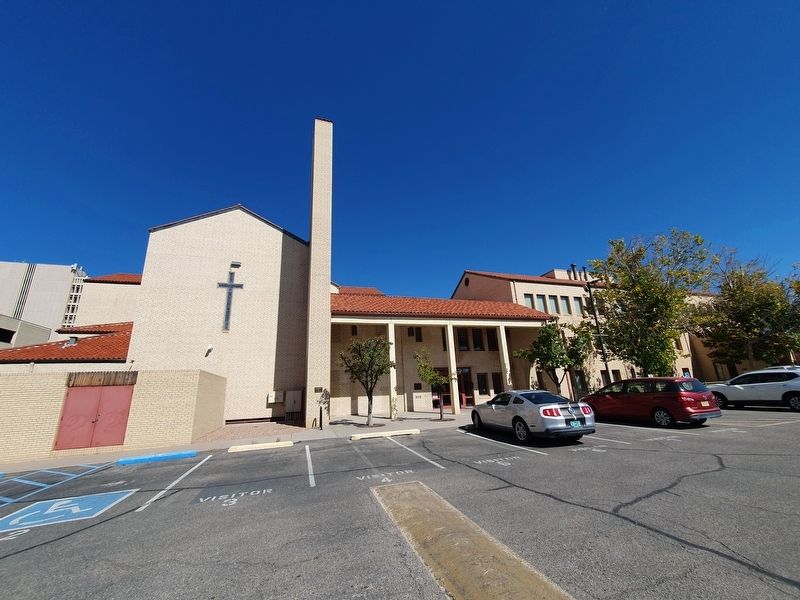
2. First United Methodist Church Albuquerque Marker
The marker is along the main southern entrance to the church.
Photographed by J. Makali Bruton, October 23, 2023
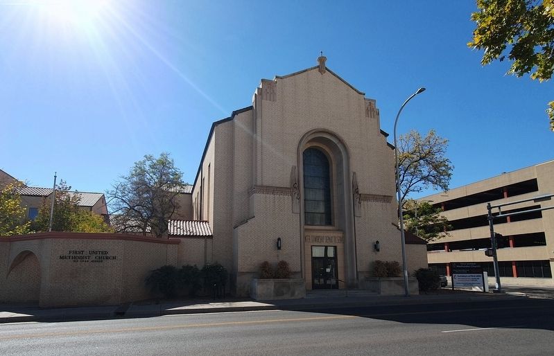
3. First United Methodist Church Albuquerque northern entrance
Credits. This page was last revised on March 11, 2026. It was originally submitted on November 22, 2023, by J. Makali Bruton of Washington, District of Columbia. This page has been viewed 353 times since then and 43 times this year. Photos: 1, 2, 3. submitted on November 22, 2023, by J. Makali Bruton of Washington, District of Columbia.
