Albuquerque Original Townsite in Bernalillo County, New Mexico — The American Mountains (Southwest)
Tijeras Canyon Road
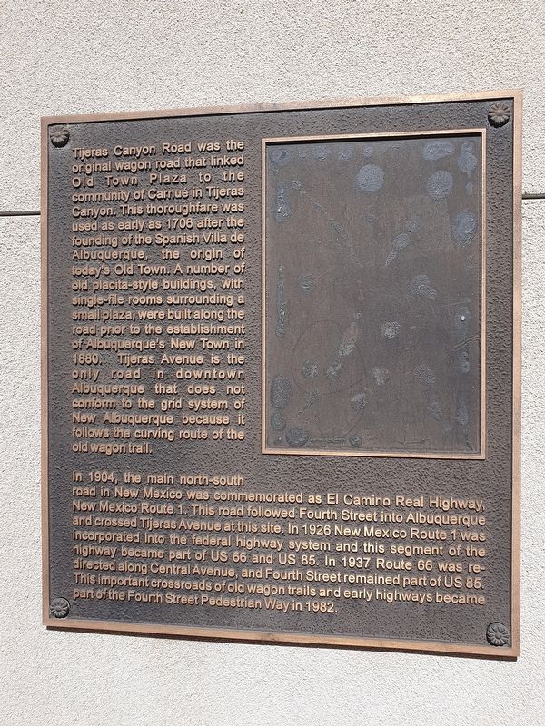
Tijeras Canyon Road was the original wagon road that linked Old Town Plaza to the community of Carnué in Tijeras Canyon. This thoroughfare was used as early as 1706 after the founding of the Spanish Villa de Albuquerque, the origin of today's Old Town. A number of old placita-style buildings, with single-fille rooms surrounding a small plaza, were built along the road prior to the establishment of Albuquerque's New Town in 1880. Tijeras Avenue is the only road in downtown Albuquerque that does not conform to the grid system of New Albuquerque because it follows the curving route of the old wagon trail.
In 1904, the main north-south road in New Mexico was commemorated as El Camino Real Highway, New Mexico Route 1. This road followed Fourth Street into Albuquerque and crossed Tijeras Avenue at this site. In 1926 New Mexico Route 1 was incorporated into the federal highway system and this segment of the highway became part of US 66 and US 85. In 1937 Route 66 was re-directed along Central Avenue, and Fourth Street remained part of US 85. This important crossroads of old wagon trails and early highways became part of the Fourth Street Pedestrian Way in 1982.
Topics. This historical marker is listed in this topic list: Roads & Vehicles. A significant historical year for this entry is 1706.
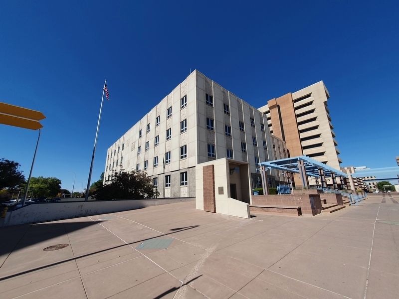
Location. 35° 5.211′ N, 106° 39.081′ W. Marker is in Albuquerque, New Mexico, in Bernalillo County. It is in Albuquerque Original Townsite. Marker is at the intersection of Tijeras Avenue Northwest and 4th Street Northwest, on the right when traveling west on Tijeras Avenue Northwest. Touch for map. Marker is at or near this postal address: 400 Tijeras Ave NW, Albuquerque NM 87102, United States of America. Touch for directions.
Other nearby markers. At least 8 other markers are within walking distance of this marker. KiMo Building (approx. 0.2 miles away); Railroad (Central) Avenue (approx. 0.2 miles away); The First National Bank Building (approx. 0.2 miles away); Champion Grocery and Meat Market (approx. 0.2 miles away); Champion Grocery Building (approx. 0.2 miles away); The Simms Building (approx. ¼ mile away); Hope Building (approx. ¼ mile away); W.E. Mauger House (approx. ¼ mile away). Touch for a list and map of all markers in Albuquerque.
Credits. This page was last revised on November 22, 2023. It was originally submitted on November 22, 2023, by J. Makali Bruton of Accra, Ghana. This page has been viewed 46 times since then and 10 times this year. Photos: 1, 2. submitted on November 22, 2023, by J. Makali Bruton of Accra, Ghana.

