Broussard in Lafayette Parish, Louisiana — The American South (West South Central)
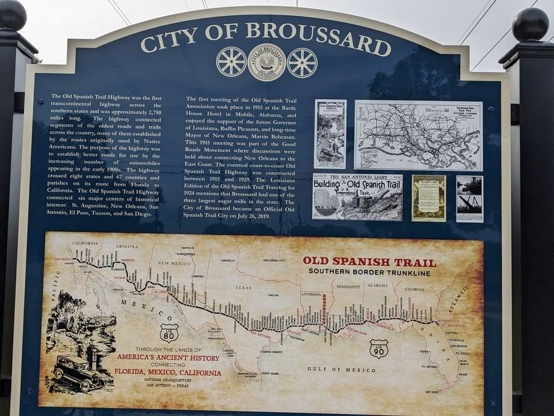
City of Broussard
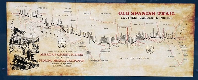
The Old Spanish Trail Highway was the first transcontinental highway across the southern states and was approximately 2,750 miles long. The highway connected segments of the oldest roads and trails across the country, many of them established by the routes originally used by Native Americans. The purpose of the highway was to establish better roads for use by the increasing number of automobiles appearing in the early 1900s. The highway crossed eight states and 67 counties and parishes on its route from Florida to California. The Old Spanish Trail Highway connected six major centers of historical interest: St. Augustine, New Orleans, San Antonio, El Paso, Tucson, and San Diego.
The first meeting of the Old Spanish Trail Association took place in 1915 at the Battle House Hotel in Mobile, Alabama, and enjoyed the support of the future Governor of Louisiana, Ruffin Pleasant, and long-time Mayor of New Orleans, Martin Behrman. This 1915 meeting was part of the Good Roads Movement where discussions were held about connecting New Orleans to the East Coast. The eventual coast-to-coast Old Spanish Trail Highway was constructed between 1915 and 1929. The Louisiana Edition of the Old Spanish Trail Travelog for 1924 mentions that Broussard had one of the three largest sugar mills in the state. The City of Broussard became an Official Old Spanish Trail City on July 26, 2019.
Topics. This historical marker is listed in these topic lists: Roads & Vehicles • Settlements & Settlers.
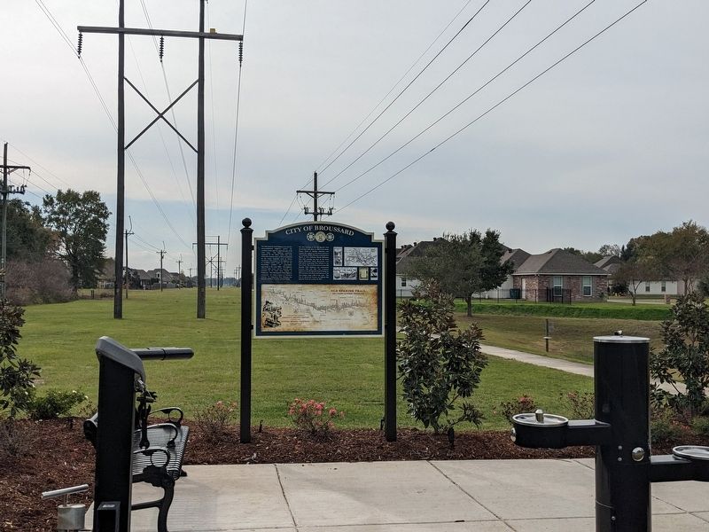
Location. 30° 8.973′ N, 91° 58.473′ W. Marker is in Broussard, Louisiana, in Lafayette Parish. Marker is on West Main Street east of Springwater Drive, on the right when traveling east. Touch for map. Marker is in this post office area: Broussard LA 70518, United States of America. Touch for directions.
Other nearby markers. At least 8 other markers are within 5 miles of this marker, measured as the crow flies. Historic Downtown Broussard (approx. 0.2 miles away); Valsin Broussard (approx. ¼ mile away); Valsin House (approx. 0.4 miles away); St. Cecilia School (approx. half a mile away); Bayou Vermilion (approx. 4 miles away); Vermilion River (approx. 4½ miles away); Beaver Park (approx. 4.6 miles away); Trappers Cabin & Boat Shed (approx. 4.7 miles away). Touch for a list and map of all markers in Broussard.
Credits. This page was last revised on November 23, 2023. It was originally submitted on November 23, 2023, by Cajun Scrambler of Assumption, Louisiana. This page has been viewed 49 times since then and 9 times this year. Photos: 1, 2, 3. submitted on November 23, 2023, by Cajun Scrambler of Assumption, Louisiana.


