Decorah in Winneshiek County, Iowa — The American Midwest (Upper Plains)
Conservation
Heritage Park, Vesterheim Norwegian-American Museum
Overview
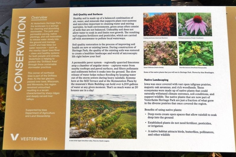
At Vesterheim Heritage Park, the landscape is a sponge for cleaning and absorbing stormwater. The park uses permeable paving, native plantings, and soil restoration to release water slowly into the ground and manage runoff and help keep our water resources — such as the nearby Upper Iowa River — clean and healthy systems for both people and animals. Vesterheim is helping to protect the "Driftless Area" through these sustainable stormwater practices.
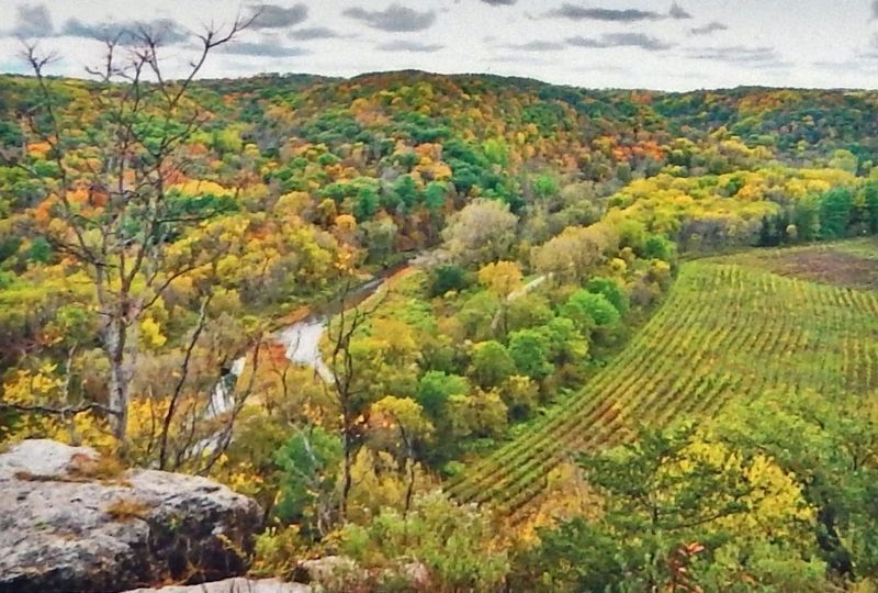
This corner of northeast Iowa is part of the Driftless Area. As the last glaciers passed over Iowa, Wisconsin, and Minnesota, this region remained untouched, resulting in a terrain characterized by sharp ridges and deeply carved river valleys.
Supported by Iowa Department of Agriculture and Land Stewardship
Soil Quality and Surfaces
Healthy soil is made up of a balanced combination of air, water, and minerals that supports plant root systems and microbes important to cleaning water and storing nutrients. In built environments, green areas often consist of soils that are not balanced. Unhealthy soil does not allow water to soak in and limits root growth. The resulting turf requires fertilizers and pesticides, which are carried off with stormwater to pollute local waterways.
Soil quality restoration is the process of improving soil health on new or existing lawns. During construction of Heritage Park, the quality of the existing soils was restored to create a healthier landscape and world of microscopic life right below your feet!
A permeable paver system — regionally-quarried limestone atop a chamber of angular stone — captures water from nearby rooftops and paved surfaces, and filters pollutants and sediments before it soaks into the ground. The slow release of water helps reduce flooding by keeping water out of the storm sewers during heavy rainfalls. Systems here at the Mill Terrace and at the Restauration Plaza by the museum's Main Building can hold over 6,200 gallons of water at any given moment. That's as much water as 20 houses use in a day!
Native Landscaping
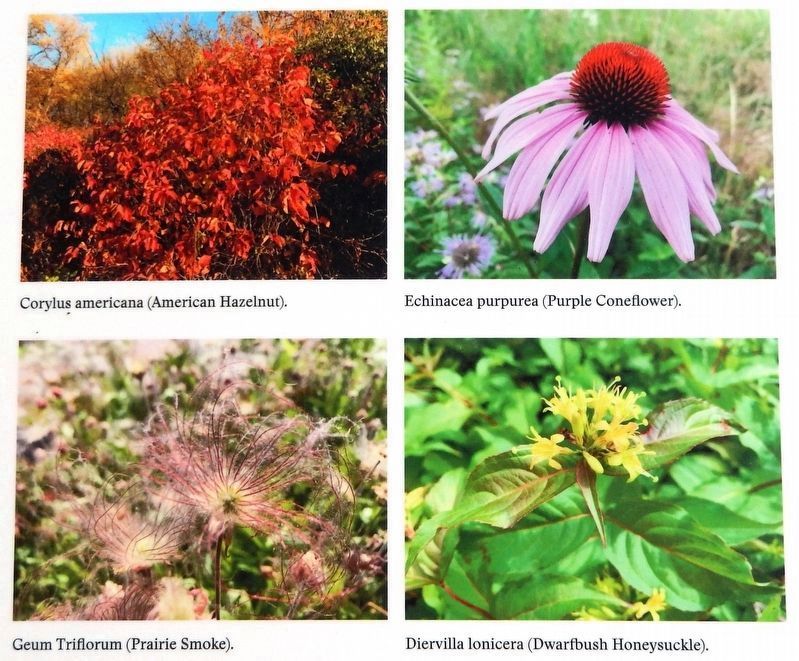
Iowa was once covered with vast open tallgrass prairies, majestic oak savannas, and rich woodlands. These ecosystems were made up of native plants that could naturally withstand climate extremes, soil conditions, and support wildlife. The native plants that are now part of Vesterheim Heritage Park are just a fraction of what grew in the diverse prairies that once covered the region.
Benefits of using native plants:
• Deep roots create open spaces that allow rainfall to soak deep into the ground
• Established plants do not need fertilizer, pesticides, or irrigation
• A native habitat attracts birds, butterflies, pollinators, and other wildlife
Erected by Vesterheim Norwegian-American Museum.
Topics. This historical marker is listed in these topic lists: Environment • Horticulture & Forestry • Natural Resources.
Location. 43° 18.338′ N, 91° 47.538′ W. Marker is in Decorah, Iowa, in Winneshiek County. Marker is on North Mill Street just south of Heivly Street, on the left when traveling south. The marker is located in Vesterheim Norwegian-American Museum Heritage Park. Touch for map. Marker is at or near this postal address: 520 West Water Street, Decorah IA 52101, United States of America. Touch for directions.
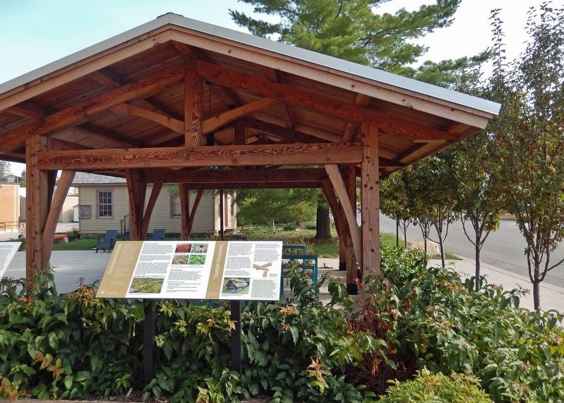
Other nearby markers. At least 8 other markers are within walking distance of this marker. Timber Framing (here, next to this marker); Painter-Bernatz Mill (a few steps from this marker); Blacksmith Shop (a few steps from this marker); Stovewood House (within shouting distance of this marker); Haugan House (within shouting distance of this marker); Rovang Schoolhouse (within shouting distance of this marker); Stabbur (about 300 feet away, measured in a direct line); Bethania Church (about 300 feet away). Touch for a list and map of all markers in Decorah.
Related markers. Click here for a list of markers that are related to this marker. Vesterheim Norwegian-American Museum Heritage Park
Also see . . .
Driftless Area (Wikipedia). Excerpt:
The Driftless Area, also known as Bluff Country, the Blufflands, the Paleozoic Plateau, and the Coulee Region, is a topographical and cultural region in the Midwestern United States that comprises southwestern Wisconsin, southeastern Minnesota, northeastern Iowa, and the extreme northwestern corner of Illinois. Never covered by ice during the last ice age, the area lacks the characteristic glacial deposits known as drift. Its landscape is characterized by steep hills, forested ridges, deeply carved river valleys, and karst geology with spring-fed waterfalls and cold-water trout streams. Ecologically, the Driftless Area's flora and fauna are more closely related to those of the Great Lakes region and New England than those of the broader Midwest and central Plains regions.(Submitted on November 24, 2023, by Cosmos Mariner of Cape Canaveral, Florida.)
Credits. This page was last revised on November 24, 2023. It was originally submitted on November 23, 2023, by Cosmos Mariner of Cape Canaveral, Florida. This page has been viewed 42 times since then and 9 times this year. Photos: 1, 2, 3, 4. submitted on November 24, 2023, by Cosmos Mariner of Cape Canaveral, Florida.


