Archer in Alachua County, Florida — The American South (South Atlantic)
Bethlehem Methodist Episcopal Cemetery
Inscription.
Side 1
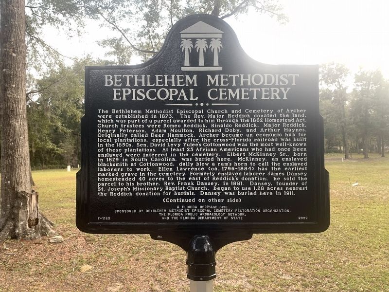
The Bethlehem Methodist Episcopal Church and Cemetery of Archer were established in 1873. The Rev. Major Reddick donated the land, which was part of a parcel awarded to him through the 1862 Homestead Act. Church trustees were Romeo Reddick, Rinaldo Reddick, Major Reddick, Henry Peterson, Adam Moulton, Richard Doby, and Arthur Haynes. Originally called Deer Hammock, Archer became an economic hub for local plantations, especially after the cross-Florida railroad was built in the 1850s. Sen. David Levy Yulee’s Cottonwood was the most well-known of these plantations. At least 25 African Americans who had once been enslaved were interred in the cemetery. Elbert McKinney Sr., born in 1829 in South Carolina, was buried here. McKinney, an enslaved blacksmith at Cottonwood, daily blew a ram’s horn to call the enslaved laborers to work. Ellen Lawrence (ca. 1796-1884) has the earliest marked grave in the cemetery. Formerly enslaved laborer James Dansey homesteaded 40 acres to the east of Reddick’s donation; he sold the parcel to his brother, Rev. Frank Dansey, in 1881. Dansey, founder of St. Joseph’s Missionary Baptist Church, began to use 1.28 acres nearest the Reddick donation for burials. Dansey was buried here in 1911.
(Continued on other side)
Side 2
(Continued from other side)
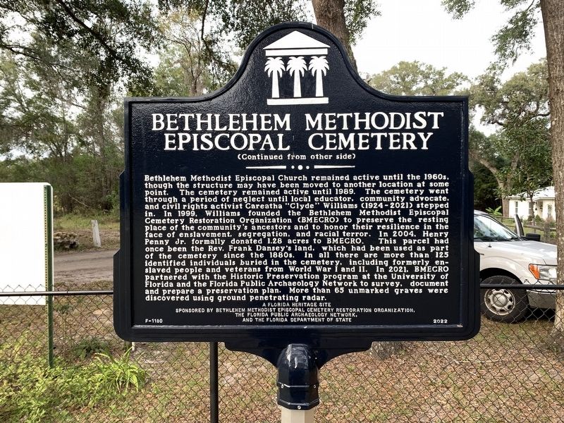
Bethlehem Methodist Episcopal Church remained active until the 1960s, though the structure may have been moved to another location at some point. The cemetery remained active until 1989. The cemetery went through a period of neglect until local educator, community advocate, and civil rights activist Careatha “Clyde” Williams (1924-2021) stepped in. In 1999, Williams founded the Bethlehem Methodist Episcopal Cemetery Restoration Organization (BMECRO) to preserve the resting place of the community’s ancestors and to honor their resilience in the face of enslavement, segregation, and racial terror. In 2004, Henry Penny Jr. formally donated 1.28 acres to BMECRO. This parcel had once been the Rev. Frank Dansey’s land, which had been used as part of the cemetery since the 1880s. In all there are more than 125 identified individuals buried in the cemetery, including formerly enslaved people and veterans from World War I and II. In 2021, BMECRO partnered with the Historic Preservation program at the University of Florida and the Florida Public Archaeology Network to survey, document and prepare a preservation plan. More than 65 unmarked graves were discovered using ground penetrating radar.
A Florida Heritage Site
Erected 2022 by Bethlehem Methodist Episcopal Cemetery Restoration Organization, The Florida Public Archaeology Network, and the FLorida Department of State
. (Marker Number F-1180.)
Topics. This historical marker is listed in these topic lists: African Americans • Cemeteries & Burial Sites • Churches & Religion. A significant historical year for this entry is 1873.
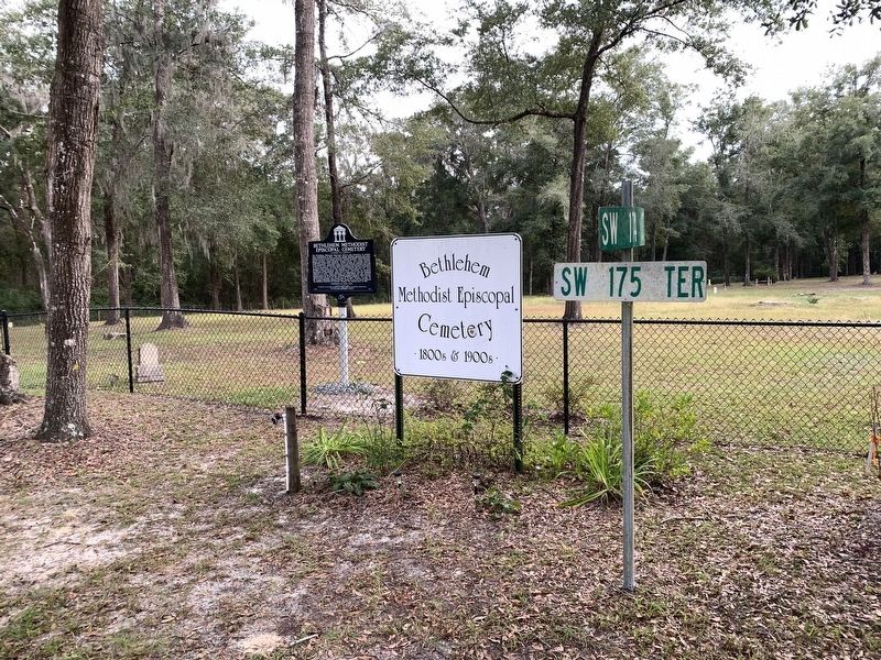
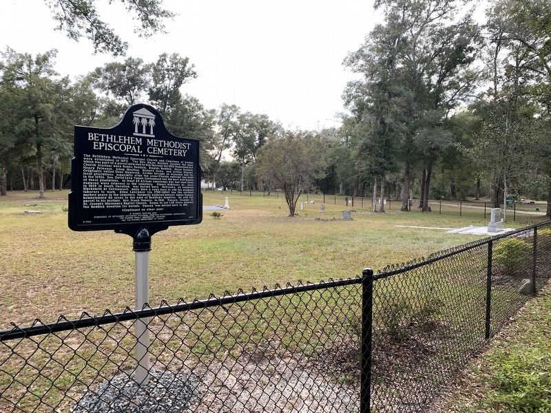
Location. 29° 31.361′ N, 82° 31.648′ W. Marker is in Archer, Florida, in Alachua County. Marker is at the intersection of Southwest 175th Terrace and Southwest 174th Street, on the right when traveling east on Southwest 175th Terrace. Note that these roads are dirt roads and may become hard to travel when it is raining. Touch for map. Marker is at or near this postal address: 14309 Southwest 175th Terrace, Archer FL 32618, United States of America. Touch for directions.
Other nearby markers. At least 8 other markers are within 4 miles of this marker, measured as the crow flies. The Wilson Robinson Memorial Pavilion (approx. ¼ mile away); Bethlehem Presbyterian Church (approx. half a mile away); Archer Veterans (approx. 0.6 miles away); Archer School Gymnasium (approx. 0.6 miles away); Thomas Gilbert Pearson (approx. 0.6 miles away); David Levy Yulee and Cotton Wood Plantation (approx. 0.7 miles away); Archer (approx. 0.7 miles away); St. Peter Cemetery of Archer (approx. 3.8 miles away). Touch for a list and map of all markers in Archer.
Also see . . . Bethlehem Methodist Episcopal Cemetery. (Submitted on November 23, 2023, by Tim Fillmon of Webster, Florida.)
Credits. This page was last revised on November 23, 2023. It was originally submitted on November 23, 2023, by Tim Fillmon of Webster, Florida. This page has been viewed 68 times since then and 31 times this year. Photos: 1, 2, 3, 4. submitted on November 23, 2023, by Tim Fillmon of Webster, Florida.


