
Whitby in Durham Region, Ontario — Central Canada (North America)
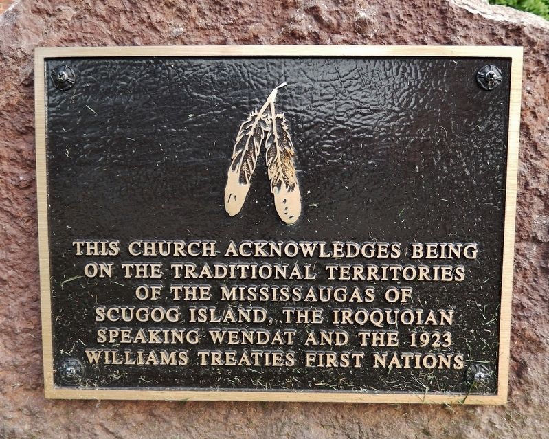
Traditional Territories of the Mississaugas of Scugog Island
Photographed by Cosmos Mariner, May 28, 2022
1. Traditional Territories of the Mississaugas of Scugog Island Marker
Topics. This historical marker is listed in these topic lists: Indigenous Peoples and Communities • Religion & Religious Structures.
Location. 43° 52.762′ N, 78° 56.688′ W. Marker is in Whitby, Ontario, in Durham Region. It is at the intersection of Dundas Street West and Centre Street South, on the right when traveling west on Dundas Street West. The marker is located beside the sidewalk, directly in front of the All Saints Anglican Church. Touch for map. Marker is at or near this postal address: 300 Dundas Street West, Whitby ON L1N 2M5, Canada. Touch for directions.

Regionally, this marker is in Greater Toronto, specifically on the Golden Horseshoe, in the York, Durham and Headwaters Area, and in the Toronto Metropolitan Area. It is also in Central Canada. Globally, it is in North America, on the Great Lakes, in the Western Hemisphere, in the Western World, and in the Anglosphere.
this page online
Other nearby markers. At least 8 other markers are within walking distance of this marker: Merryweather Steam Fire Engine, 1872 (a few steps from this marker); Carnegie Public Library, 1913 (about 120 meters away, measured in a direct line); May Irwin, 1862-1938 (about 120 meters away); Whitby’s Name Change, 1847 (about 150 meters away); The Terrace (about 150 meters away); Cross & Granger Fire, 1901 (about 210 meters away); First Dominion Bank Branch, 1871 (about 210 meters away); Perry’s Corners, 1836 (about 240 meters away). Touch for a list and map of all markers in Whitby.
Also see . . .
1. Mississaugas of Scugog Island First Nation (Wikipedia). Excerpt:
Mississaugas of Scugog Island is a First Nation and reserve for the Mississaugas of Scugog Island band government in south-central Ontario, Canada. It is located near Lake Scugog in Durham Region.(Submitted on November 25, 2023, by Cosmos Mariner of Cape Canaveral, Florida.)
2. Huron-Wendat Nation (Wikipedia).
Photographed by Cosmos Mariner, May 28, 2022
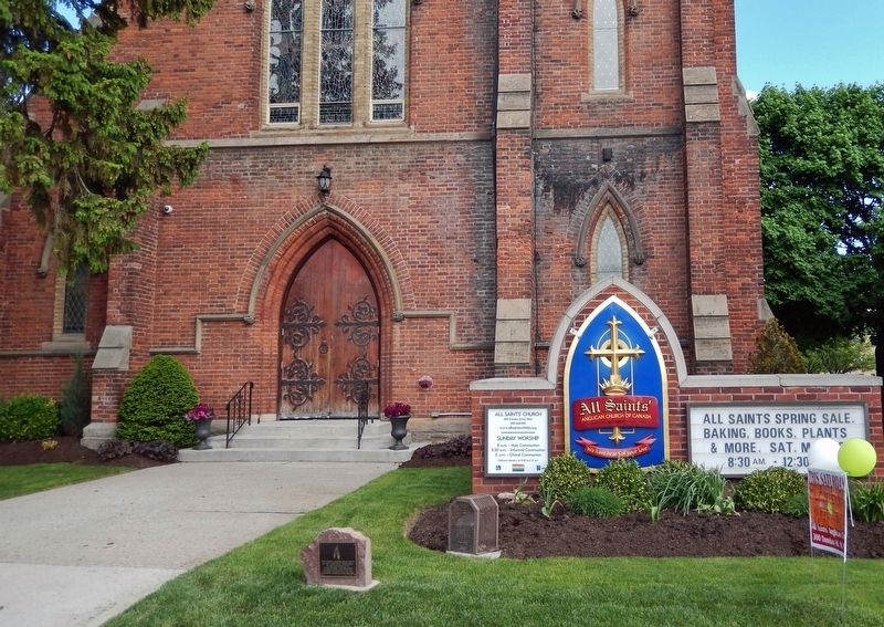
2. Traditional Territories of the Mississaugas of Scugog Island Marker
Looking north. All Saints Anglican Church in background. Marker is beside the sidewalk, near bottom center.
The Huron-Wendat First Nation is an Iroquoian-speaking nation that was established in the 17th century. The nation inhabited the area between Lake Simcoe and Georgian Bay, conquered and devastated in the 17th century Beaver Wars, which prompted the surviving Hurons to move east to Quebec, under French protection.(Submitted on November 25, 2023, by Cosmos Mariner of Cape Canaveral, Florida.)
3. Williams Treaties. Excerpt:
The Williams Treaties were signed in October and November 1923 by the governments of Canada and Ontario and by seven First Nations of the Chippewa of Lake Simcoe (Beausoleil, Georgina Island and Rama) and the Mississauga of the north shore of Lake Ontario (Alderville, Curve Lake, Hiawatha and Scugog Island). As the last historic land cession treaties in Canada, these agreements transferred over 20,000 km2 of land in south central Ontario to the Crown; in exchange, Indigenous signatories received one-time cash payments.(Submitted on November 25, 2023, by Cosmos Mariner of Cape Canaveral, Florida.)
Photographed by Cosmos Mariner, May 28, 2022
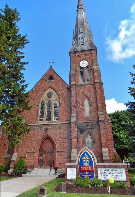
3. All Saints Anglican Church
Credits. This page was last revised on July 11, 2026. It was originally submitted on November 25, 2023, by Cosmos Mariner of Cape Canaveral, Florida. This page has been viewed 410 times since then and 56 times this year. Photos: 1, 2, 3. submitted on November 25, 2023, by Cosmos Mariner of Cape Canaveral, Florida.
